Potent storms spin off tornado warnings, funnel clouds in Ontario

The final work week in June got off to a stormy start in parts of Ontario and Quebec, with torrential rainfall, frequent lightning, hail, intense winds and even funnel clouds sighted – prompting tornado warnings for some areas
A slow-moving low over the Great Lakes delivered quite a punch Monday for many areas in southern Ontario and Quebec.
Multiple rounds of storms pushed through Central Canada, affecting commutes throughout the day and triggering tornado warnings near the Ontario and Quebec border after funnel clouds were spotted and rotation was indicated on radar.
DON'T MISS: Forecast calls for flexible plans for your long Canada Day weekend
While photos of funnel clouds showed up on social media, there has been no confirmation of any ground contact at this point. There were plenty of reports of hail, torrential rainfall, localized flooding, frequent lightning and tree damage, which may or may not have been related to the wind or funnel clouds.
The same low will stir some trouble up once again on Tuesday before Ontario and Quebec catch a break before the Canada Day long weekend. The threat for severe storms will pop up in eastern Ontario and southern Quebec again, with the threat of localized rainfall amounts over 50 mm. Since they’ll be moving quite slowly, this will increase the threat of some flooding.
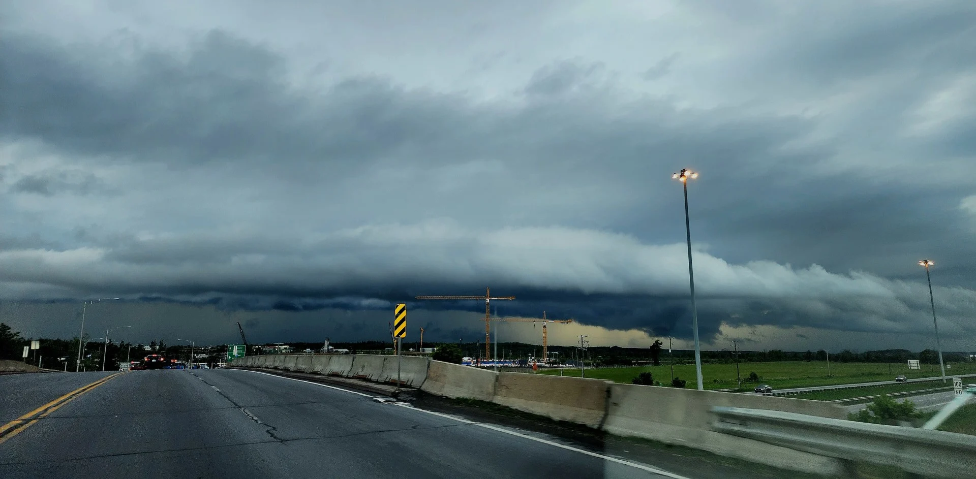
For a look at the visuals of Monday’s storms that are circulating on social media, see below.
WATCH: Tornado-warned storms bring hail and heavy rain to Ontario and Quebec
Thumbnail image of a shelf cloud over Vaudreuil-Dorian, Que. on June 26, 2023 courtesy of Marilyn M./Submitted.