PHOTOS: Tornado confirmed in Ontario during severe storms

Several tornado-warned thunderstorms moved through southwestern Ontario on Thursday evening
A confirmed tornado touched down in southwestern Ontario late Thursday afternoon as numerous severe thunderstorms moved through the region.
Conditions were favourable for storms to acquire rotation as they pushed through the southwestern corner of the province.
In addition to the reported tornado, storms also produced large hail, gusty winds, and very heavy rainfall.
DON'T MISS: Tornado warning safety: Here’s what you should do
Thunderstorms began rolling through southwestern Ontario just before 3:00 p.m. local time, building in coverage and intensity as the afternoon wore on.
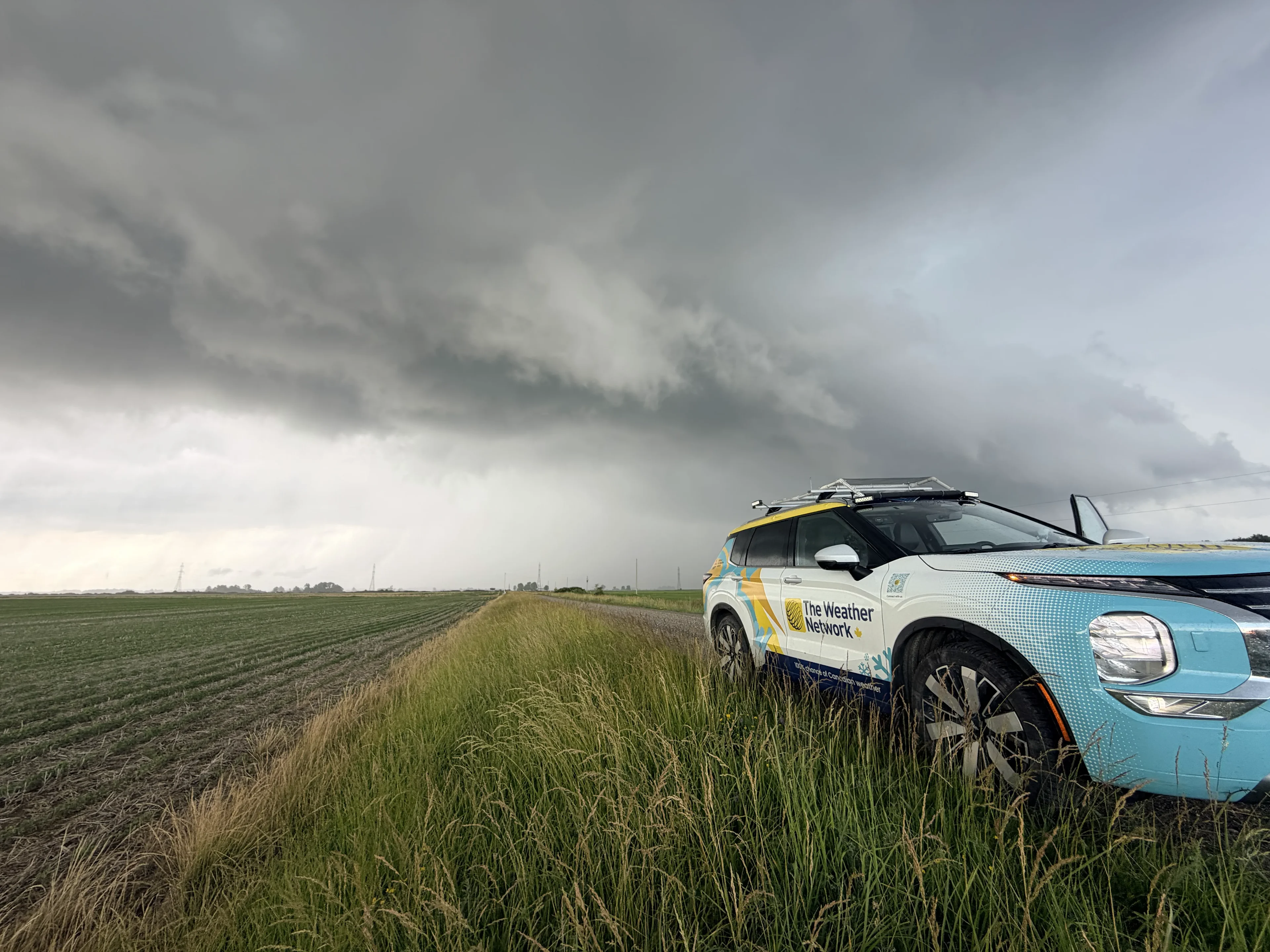
Storms encountered enough wind shear and moisture to begin rotating. The Weather Network’s Mark Robinson spotted a tornado near Glencoe, which is about 45 km southwest of London. The tornado was later confirmed by the Northern Tornadoes Project and given a preliminary rating of EF-0.
On top of the tornado risk, thunderstorms produced large hail, very heavy rainfall, and gusty winds as commuters headed home for the evening. Weather radar picked up a particularly intense hail core on one storm near Thamesville and Moraviantown around 7:00 p.m.
As the sun set, powerful storms fired up around the Guelph area, toppling trees and causing powerlines to explode.
See some of the visuals from Thursday afternoon’s storms, below.