New U.S. severe storm forecasts will benefit Canadian travellers

A refresh to severe weather forecasts in the U.S. may provide more helpful information to residents and visitors alike
A fresh update to severe weather forecasts in the United States will provide more granular information to help keep you and your family safe ahead of dangerous thunderstorms.
The U.S. is prone to more severe thunderstorms than anywhere else in the world, posing a threat to the millions of Canadians who take trips across the border every year.
Understanding these updated forecasts is a critical part of staying safe from dangerous weather during a visit to the U.S. throughout the year.
DON’T MISS: Don’t fall victim to these seven dangerous tornado myths
Severe weather forecasts are important in the U.S.
The U.S. Storm Prediction Center (SPC) is responsible for issuing severe weather outlooks across the country. These predictions, issued up to eight days in advance, can provide ample notice when organized severe thunderstorms are in the forecast.

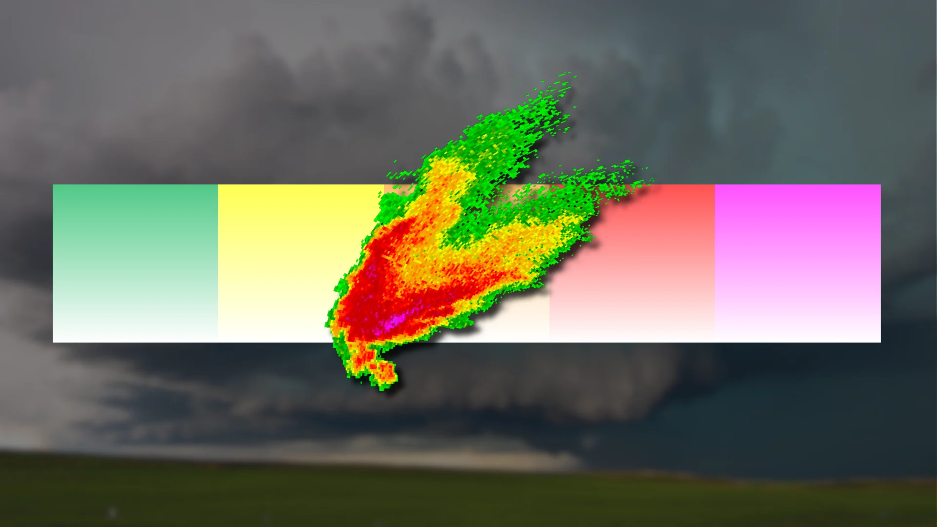
A severe thunderstorm in the United States is defined as one that produces 100+ km/h wind gusts, hail the size of quarters or larger, or a tornado.
The SPC’s severe weather outlooks are issued on a five-category scale that increases from marginal risk (1/5) to high risk (5/5). Forecasters assign each category by assessing the probability of damaging winds, large hail, and tornadoes across a certain area.
Risk for major severe weather now easier to understand
These outlooks also convey the risk for significant severe weather, which includes wind gusts of 120+ km/h, hail larger than golf balls, as well as strong, long-track tornadoes.
Beginning in March 2026, the SPC’s forecasts will now break down the potential for significant severe weather into three intensity levels.

RELATED: ‘This is a tornado emergency’: How forecasters warn of grave danger
What does this mean for you?
A higher intensity level will correspond to a higher risk for potentially destructive severe thunderstorms. Anyone under the risk for severe weather will now be able to understand a reasonable maximum risk posed by the day’s strongest thunderstorms.
Intensity level 1 is relatively common during severe weather season. Several days per year may see the severe weather risk rise to intensity level 2. Only high-end tornado outbreaks or derechos will warrant intensity level 3.
Severe weather safety
Once the risk for dangerous weather arrives, severe thunderstorm and tornado alerts are similar in both the U.S. and Canada.
A watch means that conditions are favourable for dangerous weather conditions over the next few hours. Occasionally, a watch is called a particularly dangerous situation when meteorologists expect widespread destructive wind gusts, very large hail, or numerous powerful tornadoes.
A warning means that dangerous conditions are imminent or already occurring. Severe thunderstorm and tornado warnings in the U.S. are geotargeted to areas under immediate threat.
Rarely, forecasters will issue a tornado emergency when a large and destructive tornado is moving into a populated area.
RELATED: Stuck in your car during a tornado? Here’s what you should do
Ensure that wireless emergency alerts for tornado warnings are activated on your smartphone. These free and instantaneous alerts are often the first way you’ll learn that your immediate location is under a tornado warning.
Scope out a safe place to take cover well before a tornado warning is ever issued. The interior room on the lowest level of the building is your safest bet. The goal is to put as many walls and barriers as possible between you and flying debris.