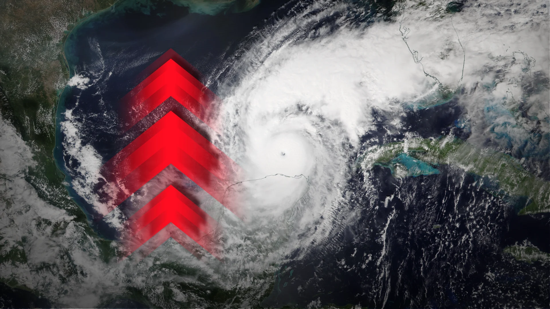
New tool may improve forecasts for rapidly intensifying hurricanes

A hurricane undergoing rapid intensification near land can pose a major threat to communities in harm’s way
Rapid intensification remains one of the most dangerous hazards with a landfalling hurricane. Numerous storms over the past decade quickly strengthened on approach to land, posing a serious threat to the lives of those in harm’s way.
Meteorologists have found success attempting to predict these spells of rapid intensification in recent years, but only at relatively short intervals into the future.
A team of researchers recently announced that they’ve developed a promising method to improve rapid intensification predictions possibly up to five days in advance of the swift strengthening.
DON’T MISS: How a mammoth hurricane rapidly intensifies in mere hours
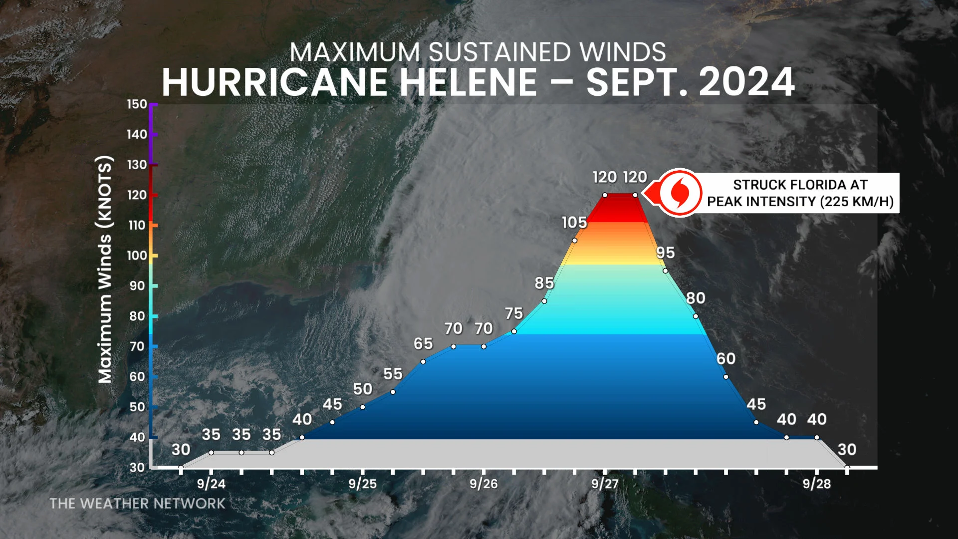
A tropical cyclone rapidly intensifies when its maximum sustained winds increase by about 55 km/h within a period of 24 hours.
Some formidable storms blow past that relatively conservative definition.
Hurricane Helene’s maximum winds jumped from 130 km/h to 220 km/h in 24 hours as it approached landfall on the Florida Panhandle in Sept. 2024.
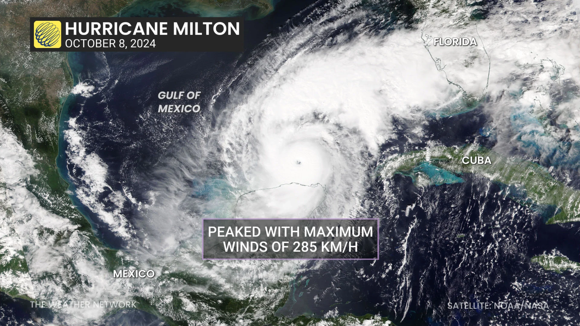
Several weeks later, Hurricane Milton exploded from 130 km/h to 275 km/h within a 24-hour window as it passed over the steamy waters of the Gulf of Mexico.
Meteorologists are still working out why exactly some storms rapidly intensify while others don’t. The most important ingredients appear to be extremely warm ocean waters and a healthy, well-aligned core of thunderstorms around the storm’s eyewall.
Thanks to better understanding and forecasting methods, bouts of rapid intensification 24-48 hours out don’t take forecasters by surprise as often as they used to. However, unexpected periods of strengthening are still a top priority for improvement.
A recent study from a team of researchers proposed a new tool called GELOG that “demonstrates skillful rapid intensification prediction at extended forecast horizons.”
The paper outlines how the experts built upon existing tools and knowledge to increase the potential forecast lead time for swift strengthening of Atlantic hurricanes all the way out to 120 hours, or five days in advance.
Using the new probabilistic tool on past storms, they found that GELOG predicted Hurricane Helene’s rapid intensification very well, while the results were mixed for a more complex storm like Hurricane Milton.
Rapid intensification near landfall can prove especially dangerous to coastal communities, as it’s possible for residents to wake up to a considerably stronger storm than the one they last saw before falling asleep.
Tools such as GELOG may prove exceptionally useful for meteorologists as they track these storms as they close in on land--and possibly while they're still well out to sea.