Flooding risk prompts evacuation alerts for 3 northern B.C. communities
Residents of three small communities on the Skeena River in northwestern B.C. have been told to be ready to leave their homes at short notice due to potential danger from flooding.
On Tuesday morning the Regional District of Kitimat-Stikine issued an evacuation alert for Old Remo, New Remo and Usk, which lie on low-lying flood plains near Terrace, B.C.
SEE ALSO: Atmospheric rivers becoming so intense we need to rank them like hurricanes
The district's emergency operations centre says the alert could soon be followed by an evacuation order — which would require residents to leave immediately — if the flooding conditions worsen.
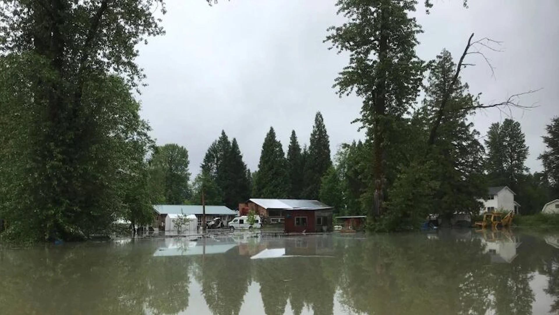
All three communities have faced flood crises several times over the past two decades. Old Remo was flooded in 2002, 2007 and 2017, seeing roads washed out and dozens of homes evacuated.
Evacuation orders were issued for Old Remo and New Remo, located just southwest of Terrace, in June 2021. Both communities along with Usk, about 15 kilometres northeast of the city, were placed under evacuation order in June 2022.
Taken in 2022. (Jaclyn Whittal/The Weather Network)
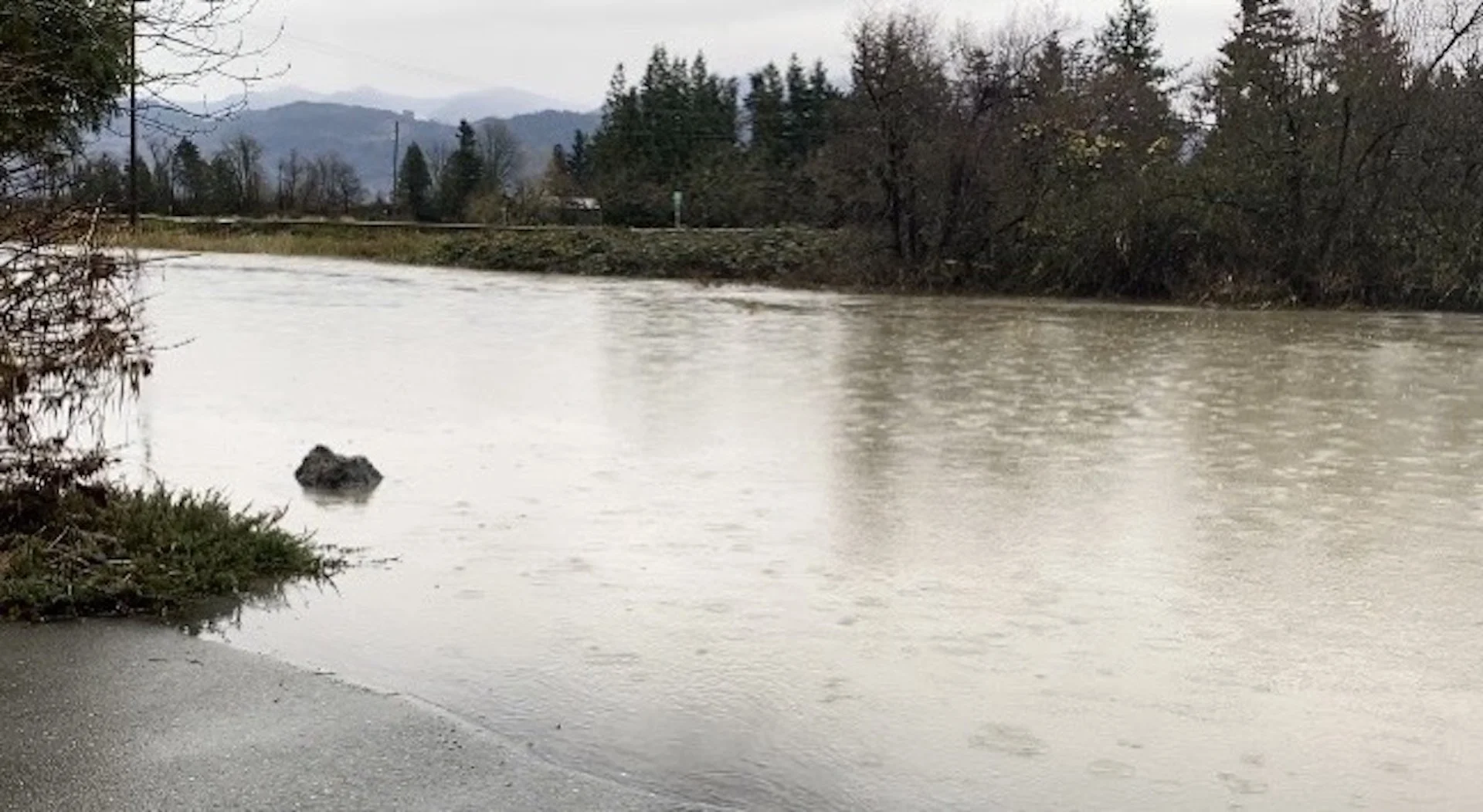
Less than two hours after Tuesday's evacuation alert was declared, B.C.'s River Forecast Centre upgraded the flooding risk for Skeena River, Bulkley River and surrounding tributaries to a flood warning.
The warning means river levels have exceeded the top of the river banks or will imminently exceed that level, leading to flooding of surrounding areas.
The centre's warning includes waterways across Wet'suwet'en and Gitxsan territories, as well as from Telkwa to Terrace.
The centre says flooding on the Skeena River could reach a 20-year high as early as Wednesday, as continuing hot weather accelerates snowmelt across most of B.C.
It also estimates the Bulkley River near Smithers, around 300 kilometres west of Prince George, B.C., will flood by the end of the day and could reach a 10-year high by Thursday.
B.C.'s Ministry of Forests is warning people to stay clear of fast-flowing rivers and potentially unstable riverbanks, and avoid any recreational activities on or near waterways under a warning.
Flood watches farther south
Several waterways in southern B.C. are now also under a flood watch, with the River Forecast Centre warning that the Kettle and Granby rivers in the Boundary basin and the Slocan River near Crescent Valley will continue to rise through the weekend.
A flood watch means river levels are rising and will approach or may exceed the top of the river banks, and areas near the river banks may be flooded.
Flood watches remain in effect for the Lower Thompson region of southern B.C., including Cache Creek, and the Deadman and Bonaparte rivers, as well as a section of the Bella Coola River on the Central Coast, while high streamflow advisories cover much of the rest of the province.
Thirty-seven heat records were set across B.C. on Monday, including in Smithers and Terrace, where a high of 29.5 C shattered a record that had stood in the area since 1925.
WATCH: Once-in-500-year flood event sparks climate change adaptation conversation
Thumbnail courtesy of Janet Munson via CBC.
The story was originally published for CBC News. It contains files from The Canadian Press.