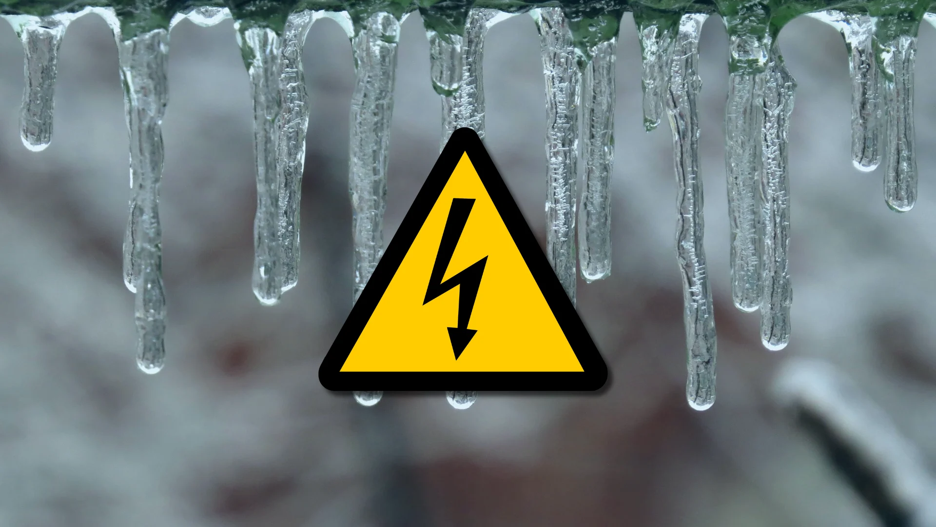
Another Canadian March ice storm looms. Will it also be historic?

A significant freezing rain event is forecast for Ontario and Quebec this week, with conditions alarmingly similar to past, historic ice storms. Will it be more impactful than previous events?
With less than three weeks to go until the one-year anniversary of 2025's destructive, historic ice storm in Ontario and Quebec, we're now on the verge of possibly seeing a similar event this week.
Another ice storm is set to bring a swath of freezing rain to central and eastern Ontario, and Quebec, from late Tuesday through Thursday.
SEE ALSO: 1 million customers hit hard. Ontario's historic ice storm by the numbers
Here is what we are expecting to happen this week, and how it compares to the ice storms of 2025, 2023, and 2013.
Current forecast for this week's storm
As of Monday evening, the forecast calls for as much as 30-40+ mm of freezing rain from Tuesday night through Wednesday.

Some locales could see freezing rain persist for 24 hours, with a chance of significant ice buildup.
Environment and Climate Change Canada (ECCC) is warning of "a potentially critical freezing rain event" in Quebec.

There will likely be transportation delays and cancellations for multiple days.
Similar to 2025, conditions will remain cold in subsequent days, possibly complicating and delaying the full return to normal services.
And, just like in previous ice storms, prolonged outages are likely. Significant damage to property, including some buildings and trees, is likely due to the weight of ice.
Recap of March 2025 ice storm
More than one million people were affected by the multi-day, late-March ice storm. Freezing rain fell in parts of Ontario for an extended amount of time as a slow-moving Colorado low crept in.
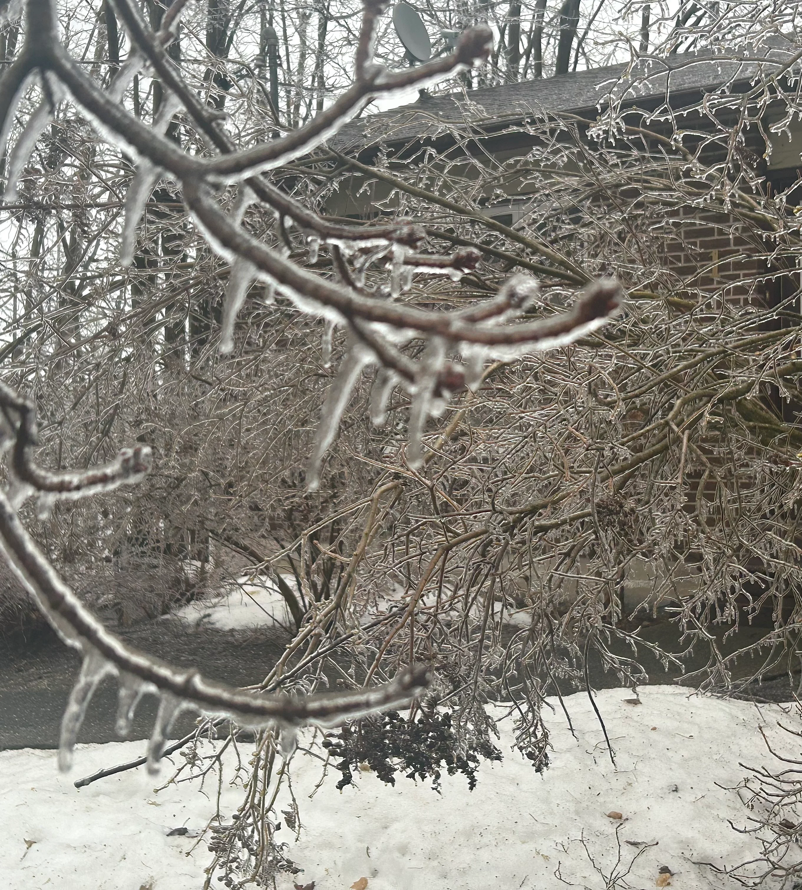
Orillia, Ont., ice storm damage in late-March 2025. (Nathan Howes/The Weather Network)
Freezing rain fell for 21 hours in Ottawa, Ont., 26 hours in Sudbury, Ont., and a staggering 35 hours in Trenton, Ont., allowing ice to build to an incredible thickness in some areas, according to ECCC.
Barrie, Ont., saw 15 millimetres of ice buildup, 19 mm was documented in Orillia, Ont., 20 mm was observed in Peterborough and Harrowsmith, Ont., and a whopping 25 mm was recorded in Lindsay, Ont.
Multiple states of emergency were declared due to the damage and power outages, including the cities of Orillia and Peterborough, the District of Muskoka and the Township of Oro-Medonte.

Hydro crews identified thousands of broken poles as a result of the significant ice accretion.
The historic ice storm that caused millions of dollars in damage and left hundreds of thousands without power for days and weeks in many areas.
As well, there was at least one fatality during the storm cleanup. A 78-year-old man died after being struck by a falling tree near Peterborough.
How will this year's ice storm compare to past events?
Last year's ice storm was rather damaging and memorable, so how will the forthcoming event this week compare to it and other past occurrences, especially the 1998 and 2013 affairs?
To put it into perspective, as mentioned previously, the March 2025 ice storm affected at least one million Ontario customers. The December 2013 event impacted more than 800,000 customers and the January 1998 ice storm affected more than 1.6 million customers across Ontario and Quebec.

The December 2013 ice storm was much worse for Toronto, Ont., specifically, according to Tyler Hamilton, a meteorologist at The Weather Network. However, the latest storm knocked out power to more customers overall, with the greatest impacts felt north of the Greater Toronto Area (GTA).
The December 2013 ice storm was followed by a cold snap that made the cleanup far trickier with additional outages spiralling beyond Christmas.
“This weather event is the most severe we’ve faced since the ice storm in 1998, causing widespread damage. Since Friday, we’ve restored power to more than 667,000 customers and we won’t stop until the power is back on,” a Hydro One member told CTV News.
Could it be worse than the April 2023 event?
According to MétéoMédia meteorologist, Patrick Duplessis, this week's freezing rain and potential ice storm will have a "very similar" impact, overall, to the April 2023 event in Montreal, Que., and Ottawa, Ont..
The 2023 ice storm resulted in at least one fatality in Quebec.
"The element that might make it worse is that there isn't a warm-up after the freezing like there was in April 2023," said Duplessis.
He noted there will be a possible thaw from Wednesday overnight to Thursday morning as the winds shift to a southwesterly direction, but it will mostly stay below freezing after the storm ends, until the end of the week. As a result, that might slow down restorative efforts from hydro officials.
Otherwise, the freezing rain amounts, wind speeds, duration, and the previous-day temperature are pretty similar, he added.
"[In] April 2023, the outages lasted five or six days. The consequences, the most intense [of them], [were] just west of Montreal. Quebec outages reached 1.15 million [customers] on April 5," said Duplessis.
The 2023 event created the most ice for Montreal since the 1998 affair. So, if the forecast pans out, or it overachieves, it could result in the most ice buildup for the major city since 1998.
At this point, if the forecast verifies, this incoming storm could be comparable to the Kawarthas' impact in 2025 or the southern Quebec aftermath in 2023.