All-time January heat records fall as astounding warmth hits North America

A remarkable month of extreme weather across North America rolls on as all-time heat records crumble and a slab of fog smothers the continent
We’re sliding through a winter of toggle-switch extremes across North America. Over the span of just six weeks, we’ve lurched from unprecedented warmth into a generational cold snap, and then back again to exceptional warmth across the entire continent.
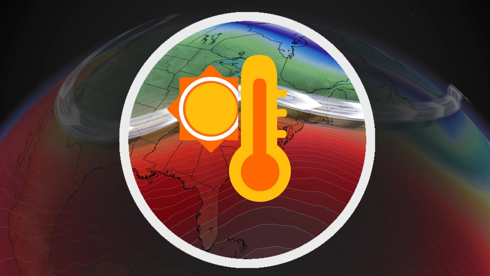
Our current spring-like pattern is remarkable. Temperatures have soared more than a dozen degrees above seasonal for much of Canada and the U.S. Tropical moisture leeching north is pushing all-time records in spots.
DON’T MISS: El Niño is hanging strong—but a big change is on the way
And the warmth and humidity combined to create a slab of dense fog covering millions of square kilometres—a phenomenon we haven’t seen in at least two decades.
Why did we dive into such a warm pattern after the brutal cold many of us saw just a few weeks ago? The culprits behind our strange weather are clear around the other side of the world, a bright example of how our atmosphere is deeply connected over vast distances.
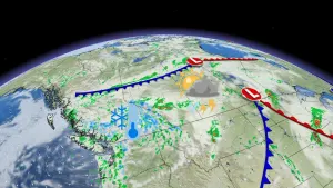
All-time January heat records fell on Thursday
We’ve seen some breathtaking temperature extremes across North America so far this season. An exceptionally warm December targeted Western Canada in particular, where Edmonton, Alberta, endured a record-long wait for its first -15°C of the season.

A few days later, the polar vortex dove over North America with some of the coldest air we’ve had in a generation. Frigid air plunged all the way to the U.S., where frosty air reaching all the way to Florida made iguanas fall out of the trees.
That pattern wasn’t long for the world, and the switch flipped again toward widespread unseasonable warmth across almost all of Canada and the United States.

A daytime high above 27°C on Thursday will go down as the hottest January temperature ever recorded in Washington, D.C. It’s a similar story down the coast in Wilmington, N.C., where the popular vacation spot measured an all-time January high of 28.3°C (83°F).

Temperatures soared far above seasonal for almost every corner of Canada and the U.S. at some point this week, save for just a few high-elevation communities out west. Readings climbed more than a dozen degrees above seasonal across much of northern Ontario, with above-freezing air seeping all the way into the Nickel Belt.
Tropical humidity and half a continent fogged in
‘Gloomy’ and ‘dreary’ don’t seem to fully capture the incredibly drab conditions that unfolded as this April-esque pattern spread north. Obnubilate means the same thing—to darken or cloud—but a pattern this odd doesn’t deserve a word that fun.
Record-breaking temperatures in the winter usually lack the fun-loving sunshine we would see on similarly warm days in the spring and summer. The exceptional warmth has been accompanied by wet weather and equally impressive humidity.

DON'T MISS: Follow these tips for staying safe while driving in thick fog
Greensboro, N.C., has recorded nearly 50 hours this week with dew points at or above 15.5°C—an almost unprecedented stretch of tropical humidity stretching far inland in the heart of winter.
The surplus of humidity washing over the U.S. and Canada helped build one of the largest slabs of dense fog ever observed in the modern era. Thick fog stretched from the Gulf Coast all the way toward Hudson Bay, covering millions of square kilometres with ground-hugging clouds and poor visibility.
El Niño and the polar vortex play a role in our warmth
Abnormally warm winter temperatures are a hallmark of the strong El Niño we’re seeing in the eastern Pacific Ocean. The warmer-than-normal waters of an El Niño force pattern changes that make above-seasonal temperatures more common across much of North America.
There’s also the dreaded polar vortex over the Arctic Circle. This large-scale circulation usually keeps winter’s coldest air confined to the highest latitudes.
If that circulation weakens, though, we can see ‘pieces’ of the polar vortex swoop south and drag bitterly cold air right along with them. The brutal cold snap we saw earlier in January was a result of a weakened polar vortex sending cold air flooding south out of far Northern Canada.
The polar vortex is weak this week as well—but the cold air didn’t spill over North America. Instead, we’ve seen very cold temperatures across Alaska and East Asia.
RELATED: Heavy Alaska snow sinks boats in Juneau harbour
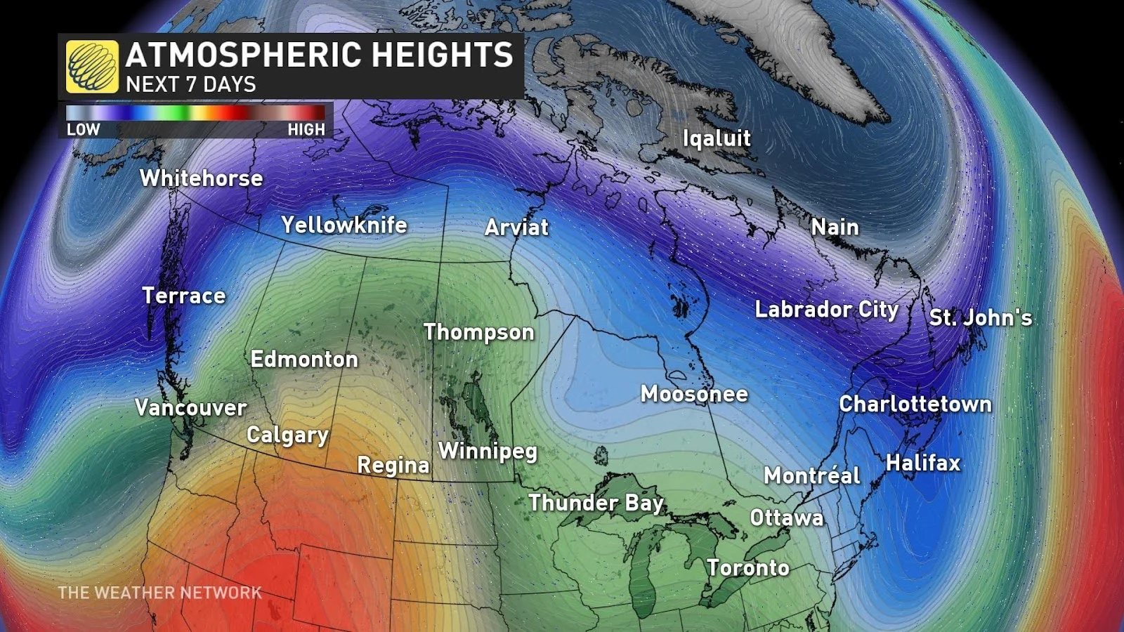
Extremes beget extremes, and the sharp troughs that sent a bitter chill over those areas helped build an intense ridge over North America. Air sinks and warms up beneath upper-level ridges, helping to raise temperatures far beyond seasonal.
We’ve also seen several low-pressure systems track from the central U.S. toward the Great Lakes and Eastern Canada. Winds spiralling around these storms helped drag warm and humid air north out of the Gulf of Mexico, making this stretch of January feel more like April in many spots.
An above-seasonal pattern will likely dominate for much of Canada through the end of January and into the beginning of February before a return to more traditional wintry conditions arrives.