Tomorrow's Weather Waterloo: Snow Showers, Bitter Cold
Waterloo Jan 02, 2026: Prepare for a chilly day with intermittent snow and gusty winds making it feel much colder.
Tomorrow's forecast:
Morning Snowfall with Bitter Cold and Gusty Winds
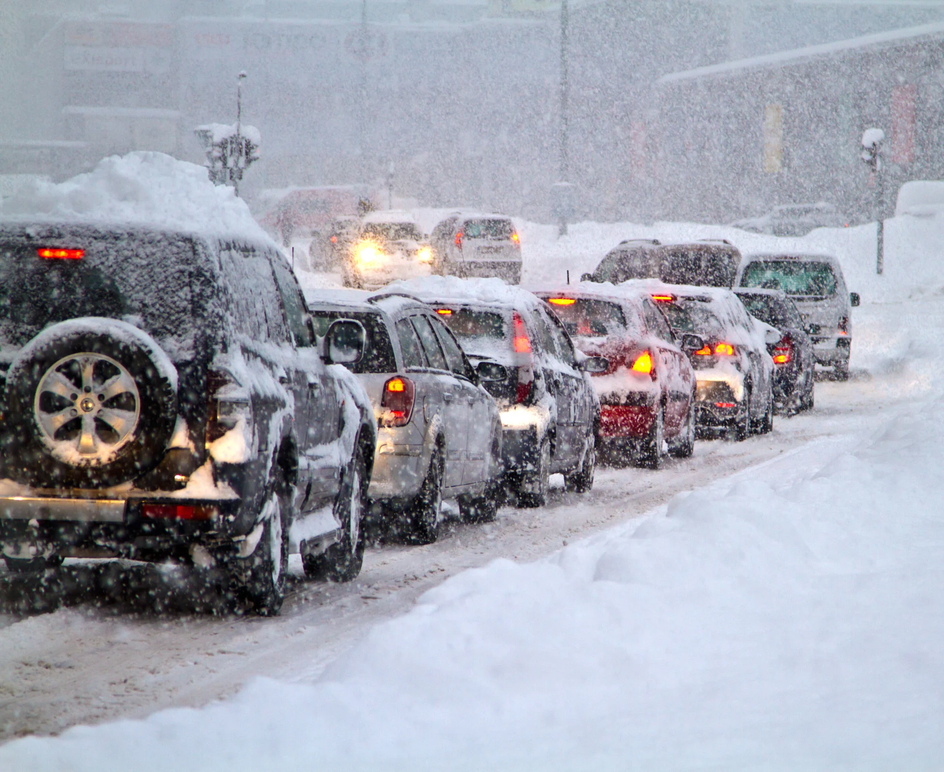
The morning kicks off with steady snow showers and temperatures near -10°C, feeling like -18°C due to brisk winds gusting up to 43 km/h. Snow accumulation around 0.9 cm is expected, creating a wintry start with moderate visibility challenges.
Activities Recommendations for the morning of Jan 02, 2026:
Commute: Allow extra travel time as snow and gusty winds may reduce visibility and road traction.
Dog Walks & Errands: Dress warmly and prepare for slippery conditions during morning outings.
Winter Sports: Ideal conditions for snowshoeing or cross-country skiing with fresh snow on trails.
Temperatures remain very cold, ranging narrowly from -10°C to -8°C throughout the day.
(Click above to view interactive map)
Snow Continues with Slightly Warmer Temps and Persistent Winds
Snowfall persists into the afternoon with temperatures rising slightly to around -8°C but still feeling like -15°C. Winds remain steady, maintaining a brisk chill. Expect an additional 1.5 cm of snow, keeping the landscape blanketed and travel conditions challenging.
Activities Recommendations for the afternoon of Jan 02, 2026:
Outdoor Activities: Great time for winter hiking or ice skating with fresh snow enhancing the scenery.
Commute: Continue to exercise caution on roads as snow accumulation and wind gusts persist.
Photography: Capture the snowy landscape under soft daylight for stunning winter shots.
Scattered Flurries Ease Overnight with Cold Temperatures
Snow tapers off to scattered flurries by evening, with temperatures dropping back to around -10°C and wind chills near -18°C. Skies remain mostly cloudy, and light winds at 20 km/h will keep the cold biting as night falls.
Activities Recommendations for the evening of Jan 02, 2026:
Evening Walks: Dress in layers to stay warm during any outdoor strolls as temperatures drop.
Travel: Plan for potentially slippery roads early overnight as flurries continue to fall.
Indoor Activities: A cozy evening indoors is perfect to escape the biting cold and wind.
Light snow precipitation occurs intermittently with a maximum of 0.3 mm between 10am and 1pm.
(Click above to view detailed chart)
Packing preparations for tomorrow:
Warm insulated jacket and thermal layers to combat bitter cold
Hat, gloves, and scarf to protect against wind chill
Waterproof boots with good traction for snowy and slippery surfaces
Snow gear such as snow pants if planning extended outdoor activities
Emergency car kit and extra blankets if traveling due to hazardous road conditions
Keep a weather app handy for updates on snow squall warnings and travel advisories
For active alerts in your area, visit your Alerts page. This article was generated with the use of OpenAI and The Weather Network's forecast data. The article was reviewed by the editorial team for accuracy and clarity. For more details visit our AI Code of Ethics. For feedback, visit our survey.