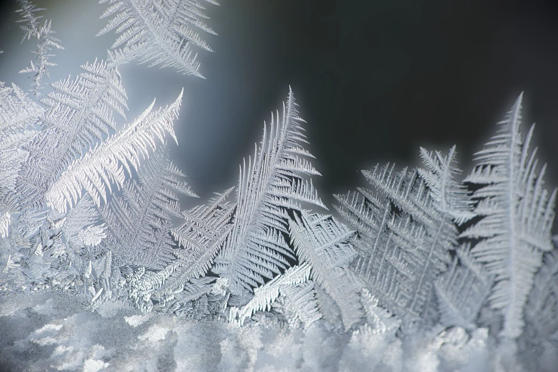
Tomorrow's Weather Montréal: Snow Showers, Freezing Rain Alert
Montréal Nov 16, 2025: Expect a wintry mix with snow turning to freezing rain and icy conditions developing.
Tomorrow's forecast:
Morning Snowfall with Chilly -1°C and Light Winds
The morning begins with snow showers and temperatures around -1°C, accompanied by light winds at 14 km/h. Snow accumulation of about 1 cm is expected, creating a wintry start. The 70% chance of precipitation signals persistent snow, making the morning quite chilly and wintry.
Activities Recommendations for the morning of Nov 16, 2025:
Dog Walks & Errands: Dress warmly and be cautious of slippery sidewalks during your morning outings.
Commute: Allow extra travel time as roads may be slick with fresh snow and light winds.
Outdoor Exercise: Consider indoor workouts due to snow and cold temperatures.
Temperatures remain cold, hovering around 0°C to 1°C throughout the day.
(Click above to view interactive map)
Snow Continues with Slight Warm-Up to 1°C and Light Winds
Snowfall persists into the afternoon with temperatures rising slightly to 1°C. Light winds increase to 22 km/h, and another 1 cm of snow is expected. The 60% chance of precipitation keeps the snow steady, maintaining wintry conditions throughout the day.
Activities Recommendations for the afternoon of Nov 16, 2025:
Outdoor Activities: If heading outdoors, dress in layers to stay warm amid ongoing snow.
Events & Festivals: Indoor events are ideal to avoid the cold and snowy weather.
Shopping & Errands: Plan for possible delays due to slippery conditions.
Snow Changes to Freezing Rain with Icy 0°C and Light Winds
Evening brings a transition from snow to light freezing rain with temperatures around 0°C. Winds remain light at 22 km/h. Expect about 1.2 cm of snow accumulation before the changeover, leading to icy and slippery surfaces. A Special Weather Statement warns of hazardous travel conditions and possible power outages.
Activities Recommendations for the evening of Nov 16, 2025:
Travel: Avoid unnecessary travel as roads and sidewalks become icy and hazardous.
Outdoor Events: Opt for indoor activities to stay safe from freezing rain and ice.
Home Preparation: Ensure emergency supplies are ready in case of power outages.
Light snow precipitation expected mainly in early morning hours, peaking at 1.3 mm between 2AM and 3AM.
(Click above to view detailed chart)
Packing preparations for tomorrow:
Warm winter coat and insulated layers
Waterproof boots with good traction for icy surfaces
Gloves, hat, and scarf to protect against cold and wind
Umbrella or rain gear for freezing rain in the evening
Emergency kit for potential power outages
Extra time planned for travel due to slippery conditions
For active alerts in your area, visit your Alerts page. This article was generated with the use of OpenAI and The Weather Network's forecast data. The article was reviewed by the editorial team for accuracy and clarity. For more details visit our AI Code of Ethics. For feedback, visit our survey.