Multiple snow rounds heading to southern Ontario as winter weather returns
The false start to spring is exiting across southern Ontario as snow will make an impactful return to close the month of February off
With the rise in temperatures in southern Ontario this week, the concern over flooding in some locales has increased with the snowmelt.
But the warmth doesn't mean the end of winter weather as back-to-back systems will bring a large swath of snow to all of Ontario this week, adding another 10-15+ cm of snow accumulation to portions of the southern sections. Some areas could even see freezing rain and drizzle into Thursday.
DON'T MISS: As tall as a giraffe: Snow total nears record levels in Canadian city
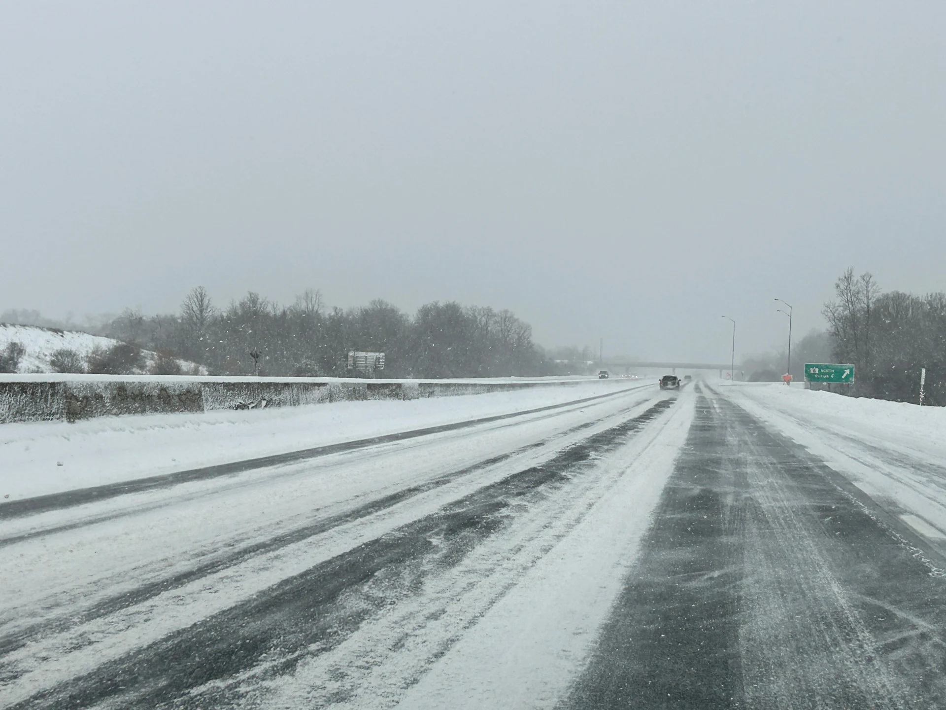
While no excessive amounts are expected with this first system, roads across southern Ontario will be slippery from this week's melting snowpack as a result of the mild temperatures. Combined with falling snow, it could make for some dicey travel.
Stay up-to-date on your local weather alerts, and be sure to check the latest highway conditions before heading out on the roads.
WATCH: The snow is melting, but that brings up a safety issue
Thursday: Rain and snow chances increase in southern Ontario
A weak low-pressure system tracked in late-day Wednesday across southwestern Ontario, and will reach the GTA by Thursday morning.Ottawa and the rest of eastern Ontario will also see a dusting of snow throughout the day Thursday.

RELATED: Great Lakes have the most ice in years amid prolonged cold spell
Across the southwest, Lake Erie shorelines and through the Niagara region, precipitation will be a rain-ice mix to start the event, but will be quickly followed by rainfall.
Meanwhile, those north of the Greater Toronto Area (GTA) will likely see some wet, heavy snow in the 5 cm range. As the morning continues, however, we'll see the snow transition into a sloppy mix of rain, snow, and ice, persisting in flurries throughout the afternoon.

Blustery winds from the northwest will also enhance snow totals along the snowbelts, as well as create blowing snow over roads and highways.
Friday and Saturday: Persistent systems brings an even snowier blast to Ontario
Another blast of snow will bring up to 10 cm of snow to southern Ontario and the GTA on Friday.

This system actually originated as a low over the Pacific Ocean, where it travelled into Yukon and is reorganizing as it prepares to dive south towards the Great Lakes.
Before the system arrives in southern Ontario on Friday afternoon, it will leave a large swath of snow over northwestern Ontario. 20-25 cm of snow is forecast for the Thunder Bay area, which will impact travel within the city as well as along portions of the Trans-Canada Highway.
SEE ALSO: Canada stacked like a board game as series of lows makes wintry moves

The snow will reach the GTA by late Friday afternoon, just in time to impact the evening commute.
There is still some uncertainty about the exact track of this system into southern Ontario; however, early forecast models suggest a swath of 5-15 cm of snow is likely from the Huron shores into the GTA and across eastern Ontario.
We could also see some rain and mixing within the snow at times, but where that will be will largely depend on the exact track of the system.
Be sure to check back on Friday, Feb. 28, for The Weather Network's official March outlook.