Travel delays likely as major storm targets Prairies with up to 40 cm of snow

A potent winter-like storm threatens heavy snow and difficult travel over parts of the Prairies this week. Snowfall and freezing rain warnings, as well as special weather statements, cover parts of Alberta, Saskatchewan and Manitoba
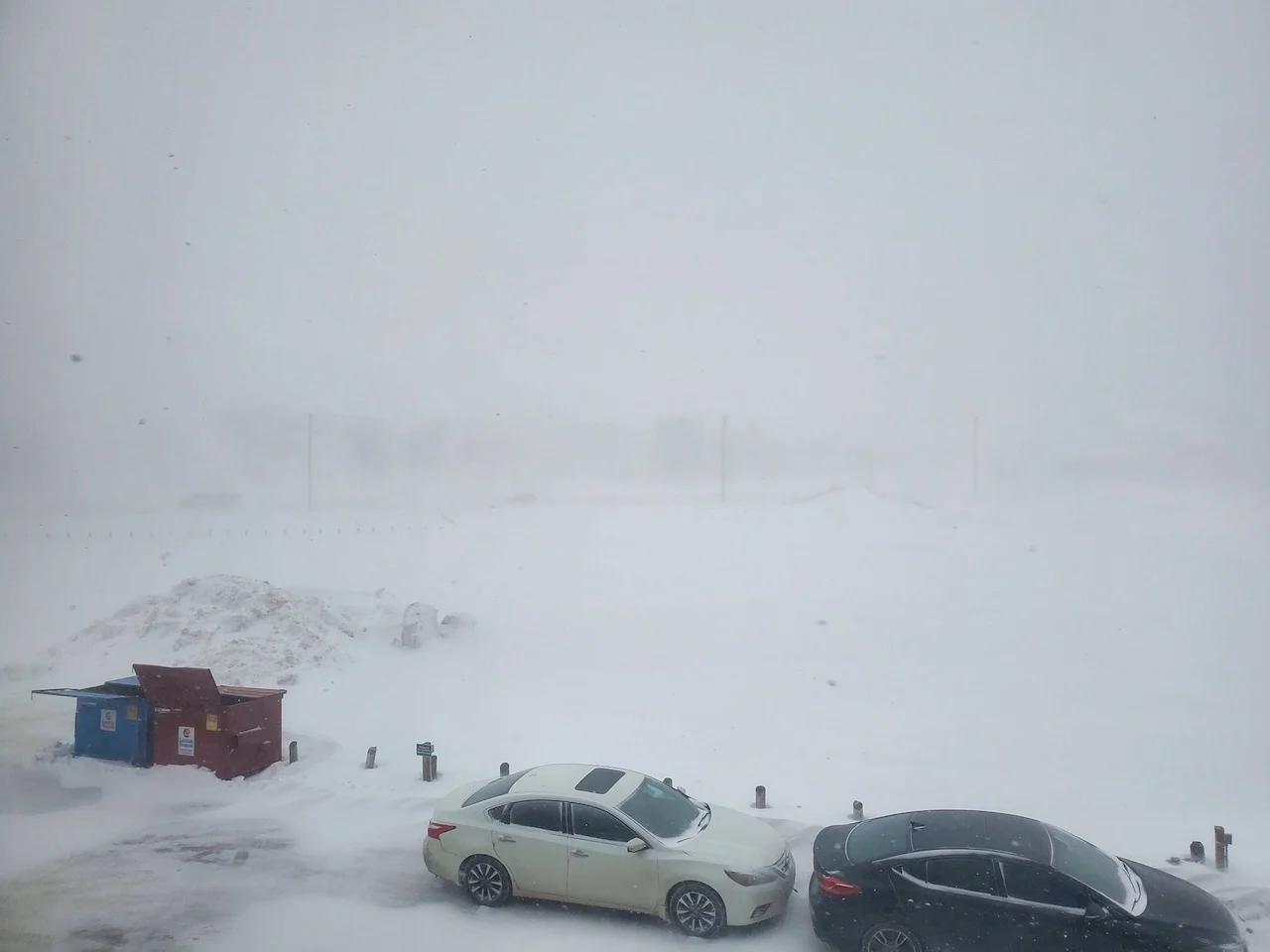
With about six weeks to go until winter, the Prairies are getting another sneak preview of it this week, as a significant low-pressure system from Montana pushes through with heavy snowfall, blustery winds and even freezing rain for some areas. Various wintry weather alerts are in place across the region, with some areas in line to see as much as 40 cm of snow. Needless to say, people can anticipate significant travel issues and it's recommended to avoid driving in the hardest-hit areas. More on the timing and impacts across the region, below.
MUST SEE: Canada's November Forecast: Winter weather moves in
This week: Snowfall warnings issued for potent winter-like storm
Snowfall warnings are now in effect for parts of Alberta including the city of Calgary and Saskatchewan. Freezing rain warnings and special weather staatements are in place in Manitoba.

"Visibility may be suddenly reduced at times in heavy snow," Environment and Climate Change Canada (ECCC) says in the warning. "Poor weather conditions may contribute to transportation delays. Take frequent breaks and avoid strain when clearing snow."
Snowfall rates may pick up in intensity slightly Wednesday as high pressure descends south and leads to more upsloping flow and enhanced totals along the southern foothills.
RELATED: Why the first snowfall of the season can catch drivers by surprise
The snow, coupled with blustery winds between 30-50 km/h could impact travel times across Alberta and towards central Saskatchewan through Wednesday.

The snow will begin to ease across Alberta on Wednesday night, though continuing for Saskatchewan and Manitoba through the afternoon hours on Thursday. The system will then pull east out of the Prairies by Thursday evening.
The storm will also bring the chance of freezing rain to parts of Saskatchewan and Manitoba Tuesday overnight, lingering through the day Wednesday in parts of the latter.
Highway impacts
At this point, 10-40 of snow is expected cm along foothills, with the heaviest amounts expected in higher elevations. Southern portions of Alberta may crack 20+ cm. A good 10-20 cm of snow is anticipated along an axis from southern Alberta to northern Manitoba. Calgary could see 10-20 cm, and Lethbridge and Medicine Hat, Alta., may approach 25 cm of snow.

Thumbnail courtesy of Devyn Gregoire/Twitter.
Be sure to check back for the latest on conditions across the Prairies