Up to 50 cm of snow: Powerful winter storm batters Newfoundland
Parts of Newfoundland are in the midst of yet another winter storm, expected to dump 20-50 cm of snow and bring blizzard-like conditions through Wednesday. Significant snowfall and strong winds will create hazardous travel conditions.
It has been a snowy winter so far for Newfoundland, and there doesn't appear to be an end to it, yet, as another winter storm is in progress on parts of the island.
So far this season, St. John's has received 278 cm of snow, below the provincial capital's 335 cm seasonal average. Farther north, however, Gander has already received 400 cm of snowfall! And even more snow is on the way for both communities.
SEE ALSO: The blizzard that caused an avalanche in St. John's, Nfld.
Stay alert for travel delays, including road closures, and school closures on Wednesday, as some areas, including St. John's, could see up to 50 cm of snowfall with this latest storm.
Persistent snow continues Wednesday
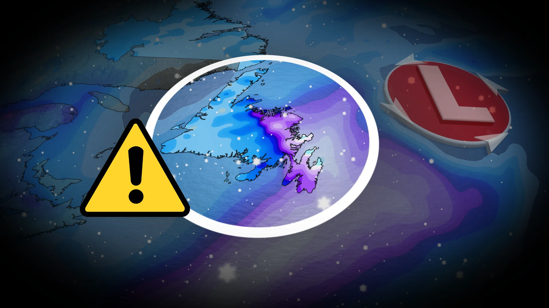
A large, strong low is well offshore. It will be nearly stationary until Friday, bringing heavy, prolonged snowfall to northeastern Newfoundland. Winter storm warnings are in place from Gander to St. John’s.

DON'T MISS: Throwing through the frost: How weather can affect your curling game
Snowfall is ongoing in northeastern Newfoundland, and will be most intense Wednesday morning--falling at a rate of 3-5 cm an hour in the St. John’s area.
Paired with 60-80+ km/h winds, blizzard conditions are possible with significantly reduced visibility. Travel is not recommended.

By Wednesday afternoon, snow lightens but remains steady for the remainder of the day. Snowfall will continue to push across the north coast through Thursday, too, as the low circles well offshore. It will not budge until Friday morning
Here are the forecast snowfall totals for the hardest-hit areas with this storm:
St. John’s: 40-50 cm
Bonavista: 30-40 cm
Clarenville: 20-30 cm
Gander: 15-25 cm
Badger: 10-20 cm
Burin: 10-20 cm

Now to answer the question everyone is likely asking: Will this be a blizzard?
Based on the current forecast, yes, this will likely be a blizzard. Strong winds are forecast to stay around 40-50 km/h around St. John's and exposed coastal regions on Wednesday morning, with even stronger gusts forecast. Combined with the heavy snow, we're looking at visibility likely being reduced to less than 400 metres. These conditions, if they play out as forecast, will satisfy the criteria to be called a blizzard.
Stay with The Weather Network for the latest updates on your forecast across Newfoundland.