20-40 cm: Ontario to see multiple snow chances as December nears
Winter weather will be in full swing across Ontario this week as we close out November, with significant snowfall coming to northern and southern areas of the province.
A long-duration snow event will impact highway travel across northern and parts of southern Ontario this week as November draws to a close.
Folks across the province should remain alert. for the potential for heavy snow heading into this week. A major snowfall is in the cards for parts of northern Ontario, while the snowbelts of southern Ontario will watch for a multi-day, lake-effect snow event.
SEE ALSO: Winter road warriors: Here's what you should be keeping in your car
Major snowfall moves into the north late Tuesday
A new low-pressure system is set to develop south of Lake Superior late Tuesday, expected to cause snowy headaches for folks across northern Ontario through Thursday.

DON'T MISS: Winter-proof your home with a heat pump that even works in -30°C
This is expected to be a major, long-duration snowfall event for all of northern Ontario, with some of the heaviest snow expected to fall over major highways through northwestern Ontario and along Lake Superior's north shore. A winter storm watch is in effect.
A swath of heavy snow is forecast along the Minnesota border in northwestern Ontario, between Fort Frances and Thunder Bay, which will impact travel along Highway 11 between the communities, as well as the Trans-Canada Highway between Thunder Bay and Dryden.
"Roads and walkways may be difficult to navigate," warns Environment and Climate Change Canada (ECCC) in the winter storm watch. "Visibility may be suddenly reduced to near zero at times. Road closures are possible."

SEE ALSO: Why it's never a good idea to pass snow plows
Drivers are urged to consider rescheduling travel and outdoor activities until conditions improve.
The highest-risk corridor will be between Thunder Bay, Geraldton, Marathon, and Moosonee. We could see 20-40 cm of snow fall over this region in addition to winds gusting off Lake Superior that could reach 60-80+ km/h. Winds will be higher along the lake's north shore highway.
The exact amount of snowfall will depend on the storm's track, where a small shift north or southward could drastically change who sees 15 cm of snow and who sees 30 cm.
DON'T MISS: Winter's wrath unleashed: The 'Great Lake-effect'

(Lake-effect snow explainer courtesy of The Weather Network)
Drivers travelling through the region are urged to use extreme caution if you must be on the highways. Expect travel disruptions and reduced visibility at times from heavy snow and gusty winds.
Special caution should be taken along Highway 11 and Highway 17 north of Thunder Bay, as well as along Lake Superior's north shore, as the winds will be stronger and produce blowing snow over the highways.
Is southern Ontario off the hook? Not so fast
Despite being out of the system's path, parts of southern Ontario will still feel the effects of lake-effect snow by the end of the week.
The sprawling system to the north will draw in Arctic air across the Great Lakes basin by Thursday, sending temperatures plummeting.

Gusty winds off the lakes will funnel the lake-effect snow squalls into the snowbelts downwind of Lake Huron and Georgian Bay, but we may even see the squalls and heavy snow reach into the Greater Toronto Area (GTA).
Highest amounts will be in the traditional snowbelts downwind of Lake Huron and Georgian Bay, where 20-30 cm is possible over several days.
Weather models are indicating very strong winds (60-80+ km/h) are likely to develop, meaning whiteouts, road closures and tough winter driving conditions will be expected during the squall activity.
WATCH BELOW: The costly consequences of ignoring snow on your vehicle
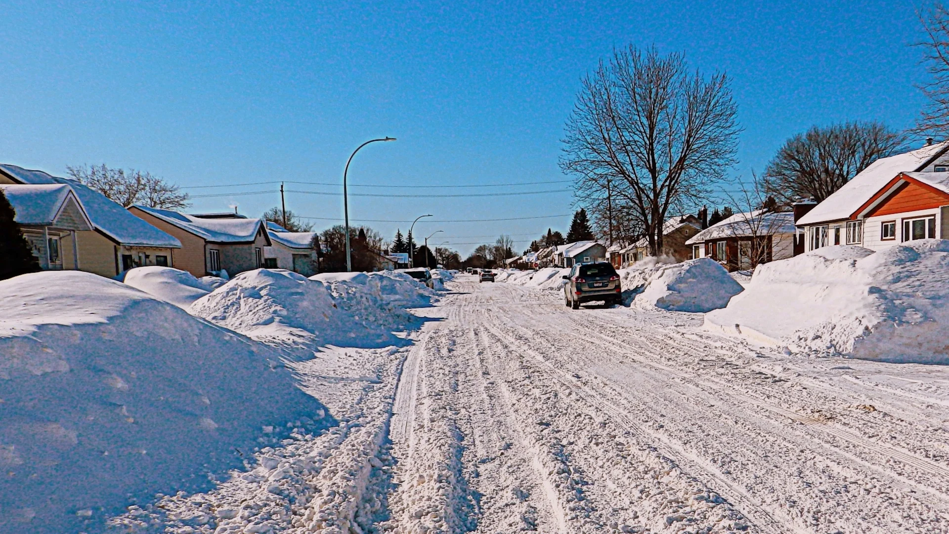
Thumbnail courtesy of Percykins Joe, taken in Thunder Bay, Ont.
Stay with The Weather Network for more information and updates on your weather across Ontario.