
Winter hits back at Ontario with snow, Arctic cold and flash freeze

We’re in for a frigid weekend across Ontario as Arctic air pushes into Central Canada, bringing the chance for a flash freeze and lake-effect snow for parts of the province Saturday.
Dress warmly with lots of layers if you're planning on spending anytime outdoors in southern Ontario this weekend. An Arctic air blast is bringing the chill Saturday morning, with temperatures falling in such a quick fashion that there is the potential for a flash freeze across cottage country, parts of the Lake Huron shores and eastern Ontario. Any wet surfaces including roads and sidewalks will likely become icy and slippery as a result. Flash freeze warnings are in place. Aside from the temperature drop, lake-effect snow is spinning up near the shores of Lake Huron and Georgian Bay, with no major accumulations are expected, but travelling will be tricky already as a result of the slippery roads. Sunday will be even colder. More on the weekend cold and when to expect an end to the bitter cold next week, below.
DON’T MISS: Here's how to stock your vehicle's emergency kit, BEFORE you get stranded
SATURDAY: TEMPERATURE PLUNGE BRINGS LAKE-EFFECT SNOW, GUSTY WINDS, FLASH FREEZE THREAT
Winter is certainly back in southern Ontario after a short hiatus earlier this week that saw mild temperatures and fair conditions.
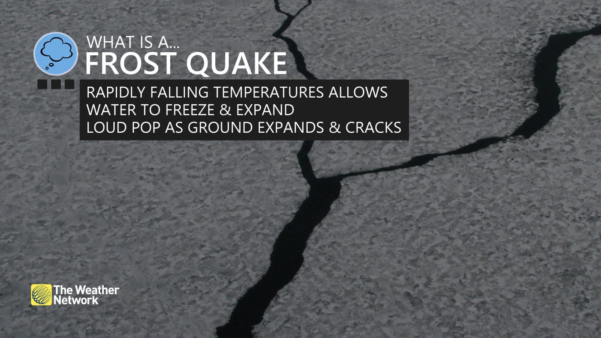
With the clipper having pulled away from Ontario, with some lingering system snow in eastern areas, in behind it is Arctic air. This is bringing rapidly falling temperatures Saturday. Temperatures are quickly falling to well below freezing. As a result, there is the potential for a flash freeze for cottage country, eastern Ontario and parts of the Lake Huron shores.

In eastern Ontario, temperatures are hovering around zero Saturday morning, which has resulted in partial melting of the current snowpack. In addition, periods of rain have and will continue to contribute to partially wet road conditions across the area. The temperature drop will accelerate in the afternoon.
So any wet surfaces including roads and sidewalks will likely become icy and slippery. Flash freeze warnings are in place, with Environment and CLimate Change Canada (ECCC) warning motorists and pedestrians to exercise caution.
"Take extra care when walking or driving in affected areas. Be prepared to adjust your driving with changing road conditions," ECCC says in the warning.
Meanhile, some lake-effect snow has kicked up for communities along the shores of Lake Huron and Georgian Bay, expected to wind down through the afternoon hours. While no major accumulations are anticipated, as a result of it and the icy surfaces, travelling will be particularly impacted in some of the regions.
With the passage of the clipper, winds will switch to a northwesterly direction Saturday, remaining blustery through the early evening before diminishing. Gusts of 40-60+ km/h is expected and will be strongest along Lake Ontario shores.
SUNDAY AND BEYOND: STUBBORN COLD WILL HANG ON UNTIL EARLY NEXT WEEK, PATTERN SHIFT AHEAD
Sunday is going to be downright cold, with frigid daytime highs expected to dip into the minus double digits across the region. Subfreezing daytime highs and even colder nighttime lows will continue to bathe Ontario through Tuesday.
Ottawa will see nearly a 25-degree drop in a 24-hour period. With a temperature reading at the freezing mark 8 a.m. Saturday, the city is expected to plummet into the low -20s at the same time Sunday morning.

The frigid temperatures will be replaced by much milder air by Wednesday, but the arrival of more agreeable temperatures will portend a more unsettled pattern heading into the latter half of next week.
PLAN AHEAD: Winter loosens its grip in Central Canada, but it's not over, yet
A boundary setting up across the Great Lakes through southern Quebec will act as a battleground between mild air to the south and colder air to the north. This stark temperature divide will serve as an active storm track that could see one or more systems trek across the region late next week.
Southern Ontario and southern Quebec could see rain, possibly heavy, followed by the potential for ice and snow. Heavy snow is possible for the northern Great Lakes and central Quebec.

The milder pattern we’ll experience next week has the potential to linger through the remainder of February. While winter isn’t coming to an end, this pattern shift might signal that we’ve turned the corner on the slow but steady climb toward longer days and the spring equinox in March.
Subscribe to 'This Day in Weather History': Apple Podcasts | Amazon Alexa | Google Assistant | Spotify | Google Podcasts | iHeartRadio | Overcast'
Thumbnail courtesy of Max Fuchs/Unsplash.
Check back for the latest forecast across Ontario.