Will this fall chill stick around across southern Ontario?

Chilly temperatures will dominate the region heading into this weekend
Fall-lovers are in luck this weekend as a brisk airmass swoops across southern Ontario.
Temperatures will dip close to the freezing mark in some areas, prompting localized frost advisories in the Greater Toronto Area (GTA).
But enjoy it while you can. This taste of autumn won’t linger for long.
DON'T MISS: Winter snowfall across Canada may fall victim to El Niño
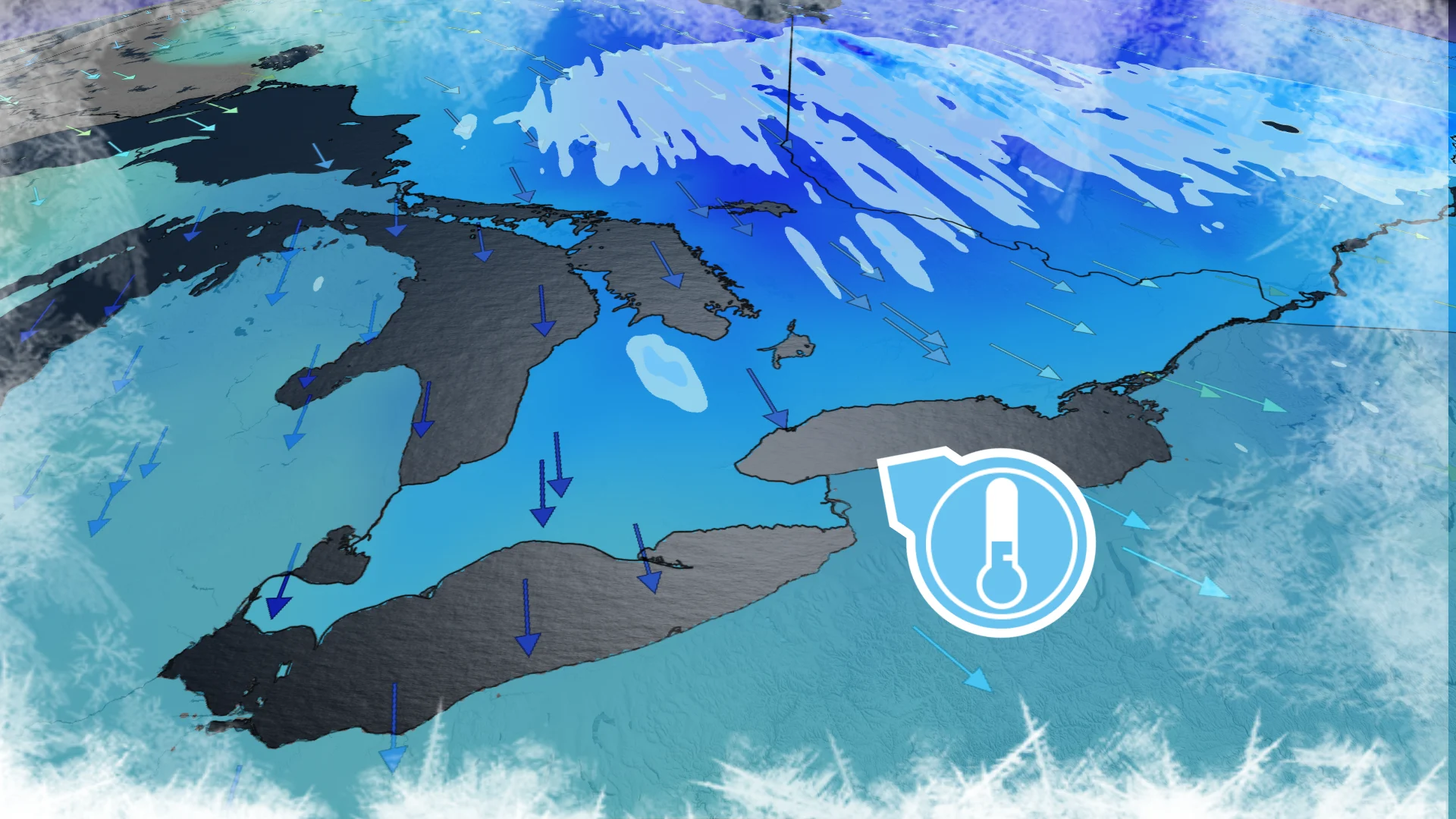
Northerly winds filtering into southern Ontario behind our departing low-pressure system will allow the fall chill to take hold of the region to kick off the weekend.
Early morning temperatures will fall close to or below freezing. A frost advisory is in effect for parts of the GTA, including Toronto proper, as well as Mississauga, Brampton, and Scarborough.
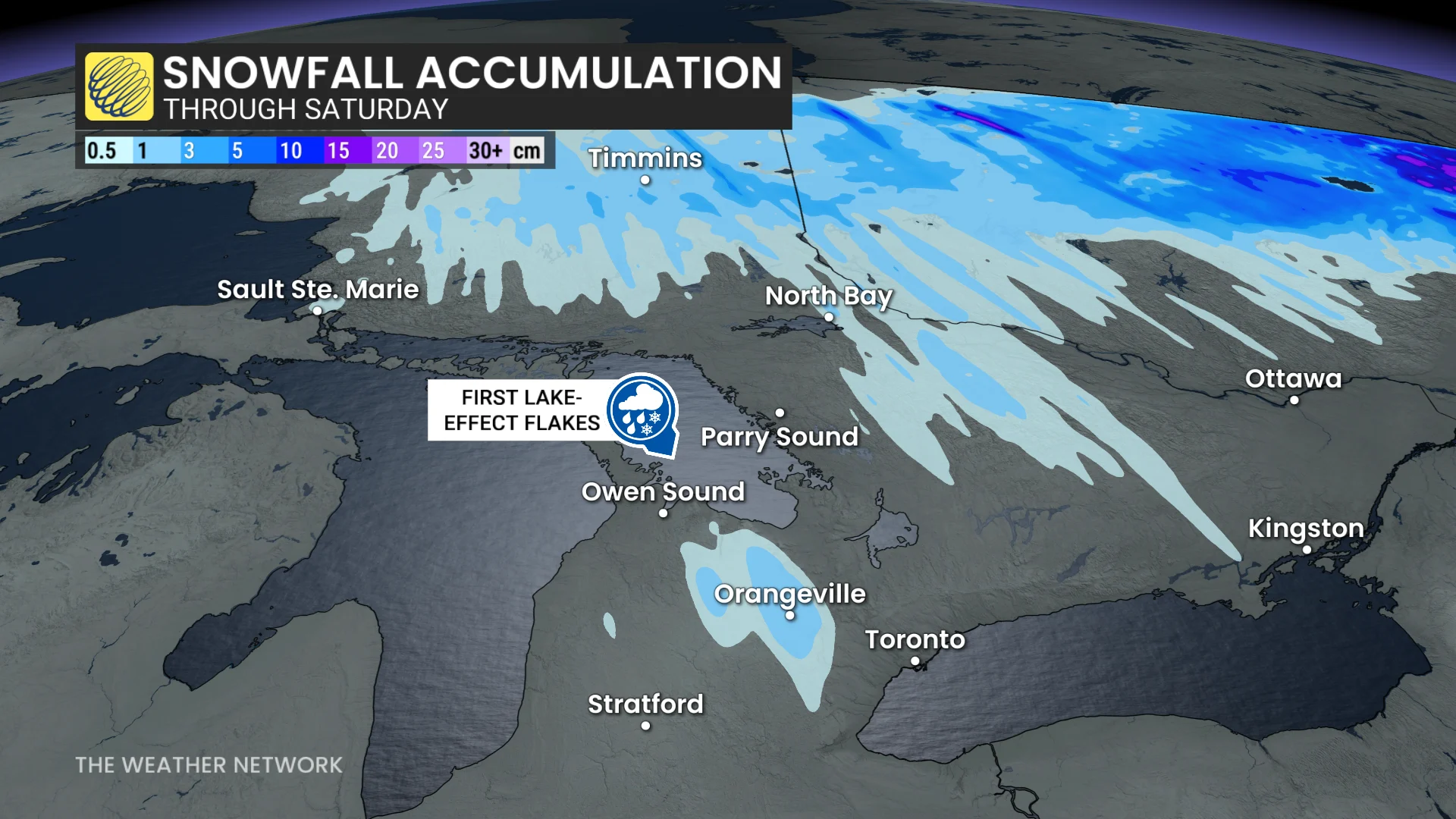
We could even see the first snowflakes of the season in some snowbelt communities as lake-effect showers develop amid the contrast between the cold air and the warm lakes. Additional flurries are possible in parts of Algonquin during the early-morning hours.
This snow is expected to remain at higher elevations as freezing levels here drop to around 800 metres. Snow falls up to 200 metres below the freezing level; anyone below that point could see a rain-snow mix.
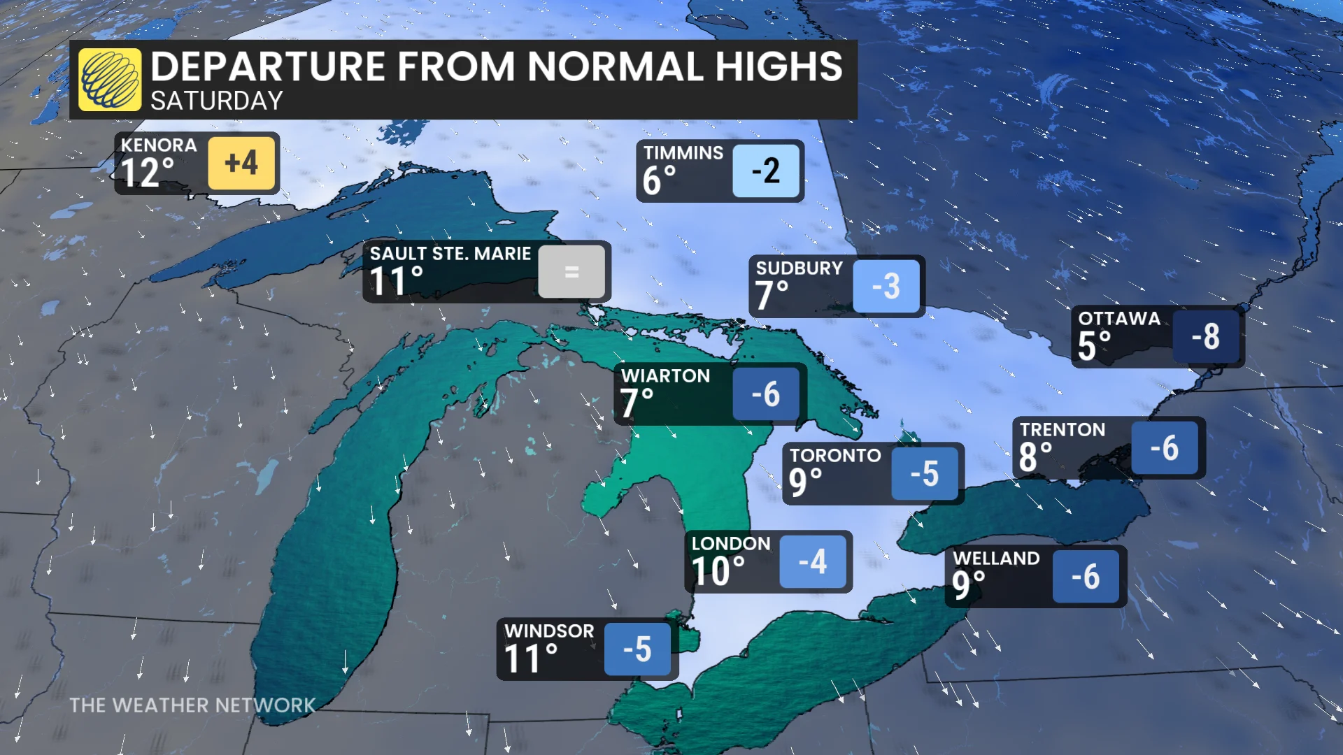
Temperatures will likely fall short of the double-digits on Saturday afternoon, with brisk wind chill values expected through the day and the evening.
Don’t expect the frosty readings to last much longer, though. A region of high pressure moving in will allow warmer conditions and a significant dry stretch through next week.
Temperatures are expected to rebound back toward the seasonal mark on Sunday, with above-seasonal readings developing into the workweek. Average temperatures at Toronto-Pearson Airport this time of year are a daytime high of 13°C with an overnight low around 5°C.
Stay with The Weather Network for the latest on conditions across Ontario.