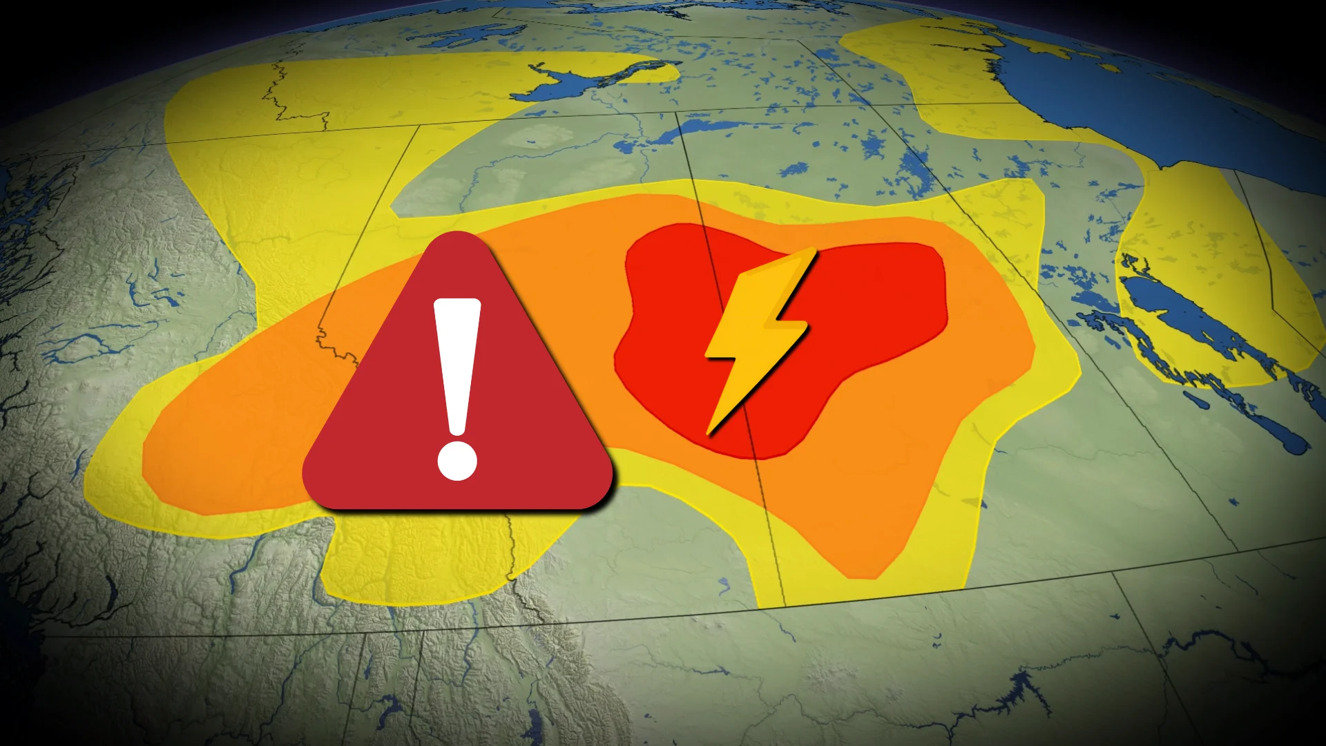
Widespread severe storms on tap for the Prairies on Saturday

High instability and wind shear will fuel storms throughout the Prairies to kick off the weekend
Another day of very active weather is in the forecast across the Prairies, with high instability and wind shear fuelling a fresh round of severe storms in Alberta and Saskatchewan.
All modes of severe weather are possible, including one or two tornadoes.
Storm fatigue can be a real problem during an exceptionally active pattern like the one we’ve experienced for the past few weeks. Don’t let your guard down if severe storms are in the forecast for your area. Advanced warnings are proven lifesavers.
DON’T MISS: El Niño is rapidly strengthening with global implications
Severe weather is likely on Saturday
A risk for severe thunderstorms continues into Saturday as a boundary and surface low linger over the region.
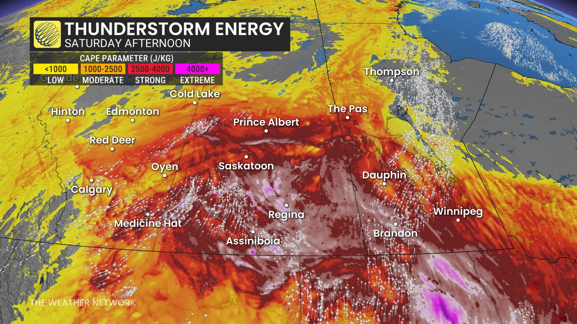
Dynamics will grow increasingly favourable for hazardous weather through the day, with plenty of instability, moisture, and wind shear available for storms to fire off and quickly turn severe.
Saturday’s storm potential will cover a wide swath of Alberta and Saskatchewan. All modes of severe weather are possible, including large hail, strong wind gusts, and tornadoes.
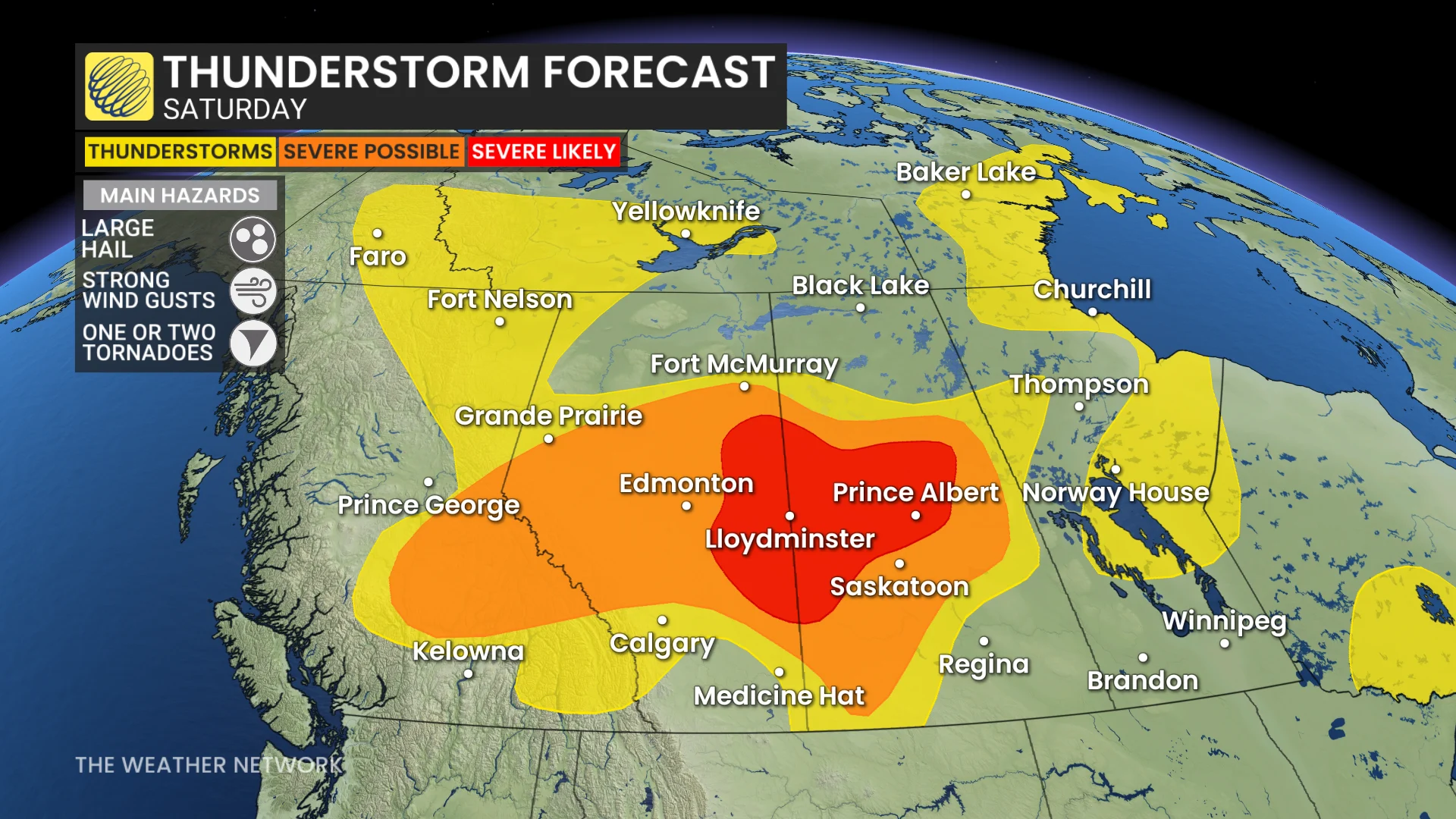
The threat for tornadoes is greatest east of Edmonton and north of Saskatoon, around Lloydminster and Prince Albert.
By this weekend, a heat dome building over the United States will begin to influence conditions over the southern Prairies. Temperatures will climb into the mid-30s with humidex values into the 40s on Saturday and Sunday.
This stateside ridge will shunt the active storm track up toward northern regions of Alberta, Saskatchewan, and into the Northwest Territories.
Stay with The Weather Network for all the latest on conditions across the Prairies.