Millions of Canadians at the mercy of a 2,000-km-long warm front

Millions of Canadians will spend this last weekend of summer at the mercy of a 2,000-km-long warm front draped across the eastern half of the country.
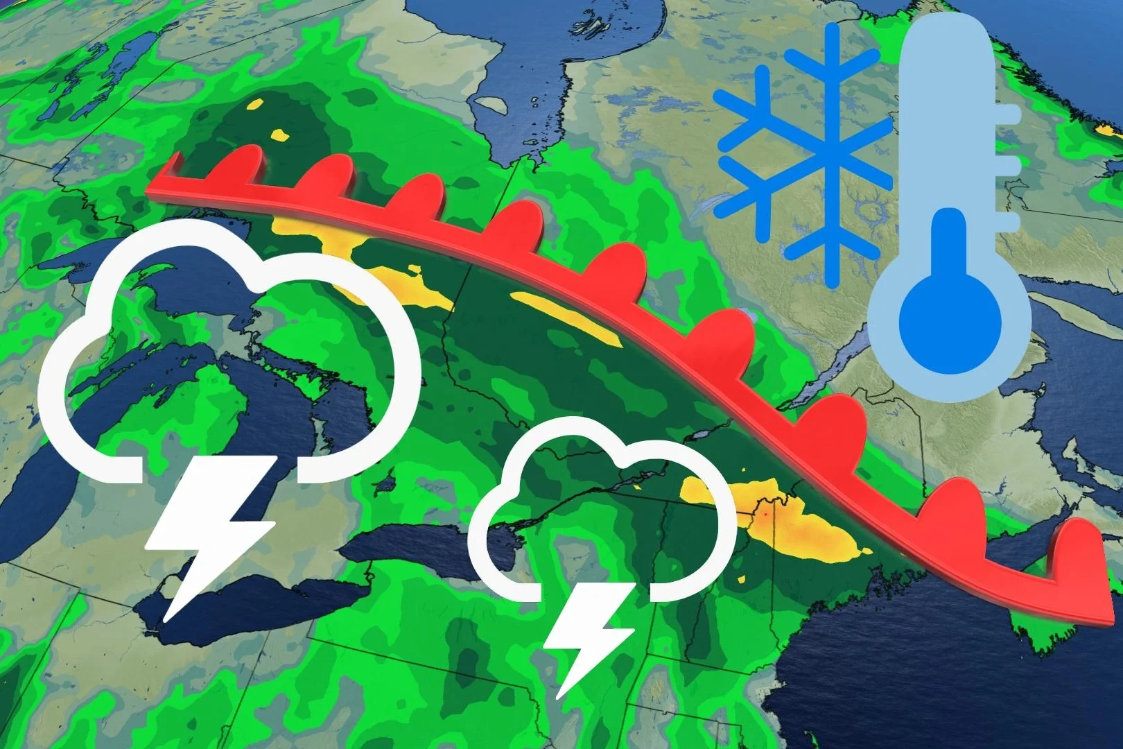
Eastern Canada will be divided by what could be summer's last hurrah and an early preview of fall-like weather during the final weekend before the transition to the new season. Depending on where you are along a 2,000-km-long warm front, soaking rains may put a damper on any outdoor plans.
Visit our Complete Guide to Fall 2022 for an in-depth look at the Fall Forecast, tips to plan for it and much more!
The weekend began with a slow-moving storm system dawdling near Lake Superior. A warm front extending off this low will eventually grow to more than 2,000 km in length, stretching all the way from Thunder Bay, Ont., east to Halifax, N.S.
This warm front will serve as a sharp boundary between summer to the south and fall to the north. Communities that wind up under or near the warm front are also in line to see several days of rainfall -- with decent totals possible by early next week.

Steady rainfall ongoing across northwestern Ontario will continue straight through the weekend.
Late Sunday morning and through the afternoon, the warm front continues to drape across southern Ontario Quebec. The boundary will bring the risk of isolated showers and embedded thunderstorms to the regions. Much of the heavy rainfall will hold off for northern and eastern areas.
Much of Sunday will be rain-free for southern Ontario including Windsor region. Sunday overnight into Monday morning will see a trailing cold front bring the chance of showers and embedded thunderstorms across southern Ontario, reaching eastern areas and southern Quebec on Monday evening.
DON’T MISS: Perseverance finds strongest signs yet of ancient life on Mars

An axis of heavy rainfall will set up along and near the front, with locally 50+ mm for parts of northeastern Ontario. Generally 30-50 mm for the Ottawa region, pushing into Montreal, as well. Lesser amounts likely across southern Ontario since this won't be a persistent heavy rainfall. Instead, rainfall will come via pop-up thunderstorms and passing showers in the region. Anywhere from 5-15 mm of rainfall is expected for the Golden Horseshoe.
We’ll eventually see the chance for rain creep into southern Ontario, but the region will remain rain-free until later Sunday evening.
The warm front will certainly live up to its name through the weekend. It’ll be possible to drive between seasons in the coming days if you’re up for a short road trip and enjoy gloomy weather.

Temperatures south of the front will climb into the mid- to upper 20s, with highs in the 30s possible across parts of southwestern Ontario. Along and north of the front, however, we’ll see fall-like temperatures. Daytime highs will come in below seasonal, struggling to climb out of the upper teens for some communities.
Warmer weather will stick around for much of southern Ontario heading into next week, with cooler temperatures and a chance for rain arriving with a cold front near the end of the week.
Stay tuned to The Weather Network for the latest on conditions across Eastern Canada.