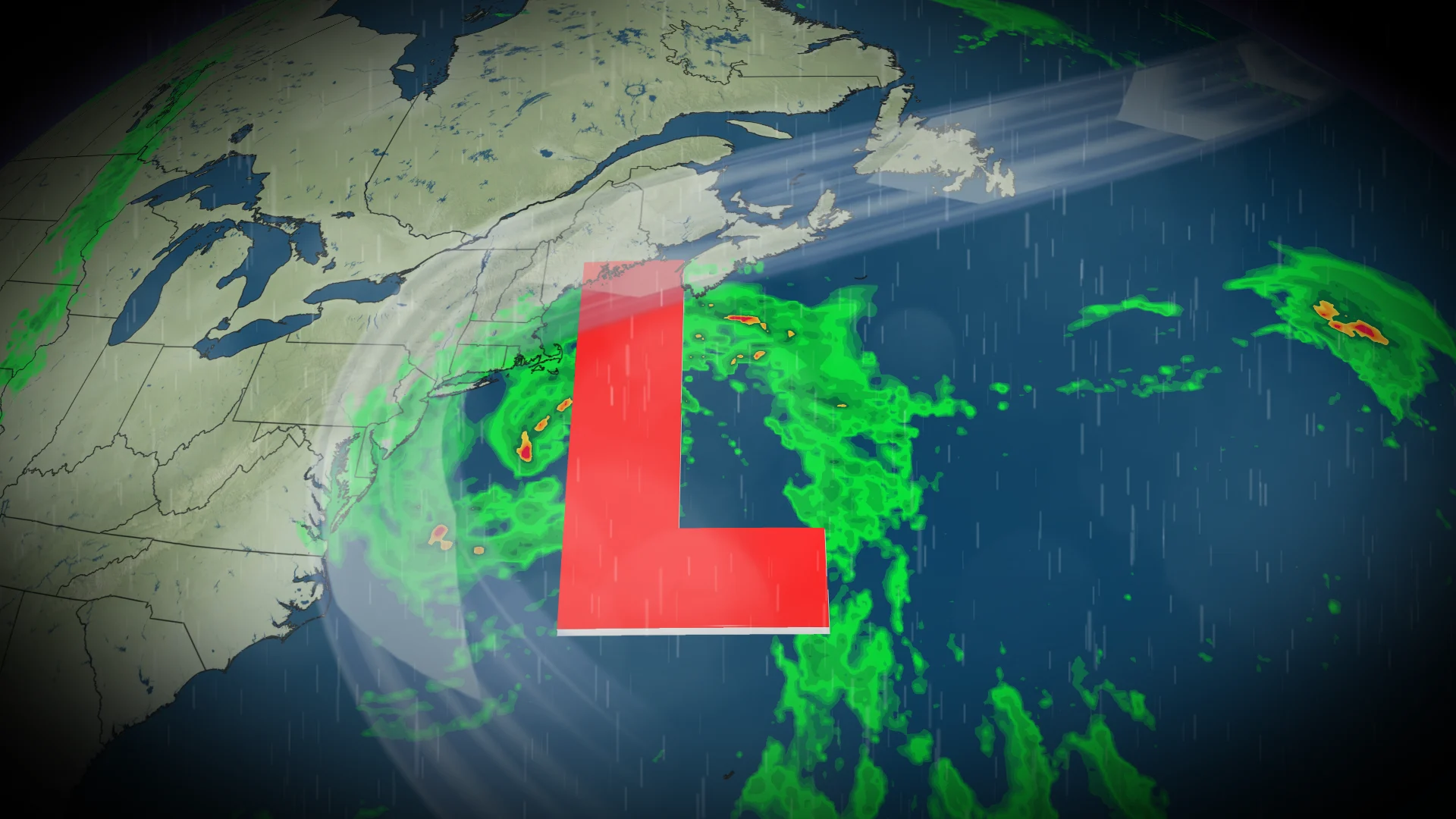
Active storm track to keep the East Coast wet with multiple rain bouts

Canada's East Coast can expect several rounds of rain and cooler temperatures as air masses collide over the region this week
A battle between Arctic and Gulf air will leave Atlantic Canada in the crosshairs as multiple rounds of rain are forecast throughout the week.
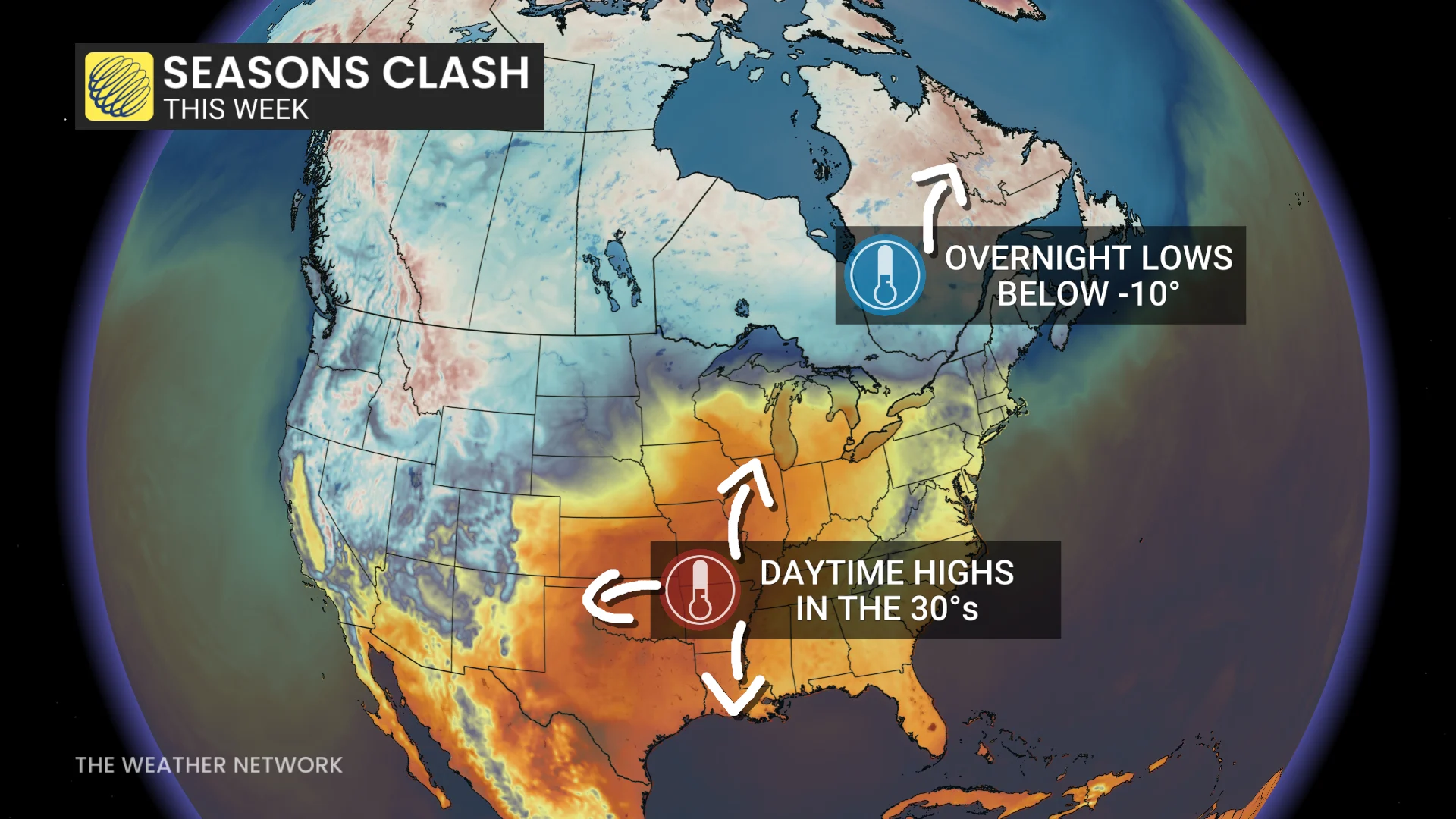
The soggy pattern will be thanks to a hot and muggy, high-pressure system stalled over the southeastern United States, where daytime highs are in the 30s, and a freezing high-pressure system over Hudson Bay. The result? A conveyor belt of active weather aimed right at Atlantic Canada.
DON'T MISS: Canada's Winter Sneak Peek: El Niño puts record warmth in play
A widespread 20-40 mm of rainfall is forecast across Newfoundland and the Maritimes through the week, with locally higher amounts possible across southern Nova Scotia and along Newfoundland's coast.
Round 1: Isaias remnants kicked off the soggy pattern
The damp, cool weather is forecast to linger through Tuesday as a new system begins to make its way into the Maritimes.
SEE ALSO: Fight flu season with nature: Four immune-boosting foods to try this fall
Round 2: Heavy rainfall moves in Wednesday before the main event
Moderate to heavy rainfall is expected to spread across the Maritimes through Wednesday morning as this second system makes its way east. Folks may see a break in the rain through the afternoon as the system moves away, but some showers may return overnight.
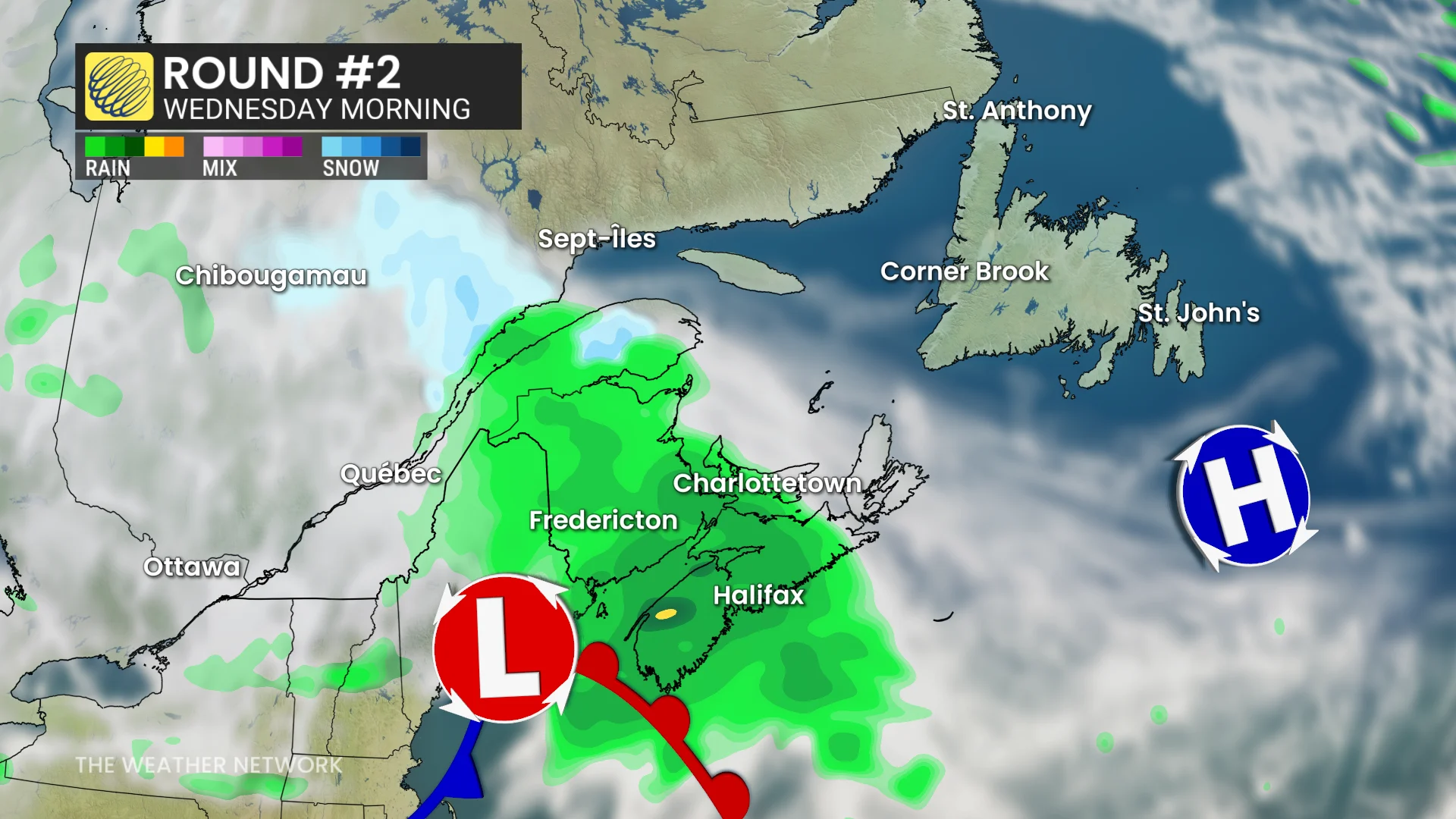
By late Wednedsay, the system will make its way into Newfoundland, bringing steady, moderate rainfall across the province through the overnight hours.
The steady rains should ease across Newfoundland through Thursday morning, but wrap-around showers and gusty northwesterly winds are then expected to develop over the province and parts of the eastern Maritimes.
Round 3: Saturday brings on the main event
Several forecast models are indicating that a third low-pressure system will swing through Atlantic Canada through the start of the weekend. This round could very well be the strongest of the week as it holds the potential for widespread rain and gusty winds.
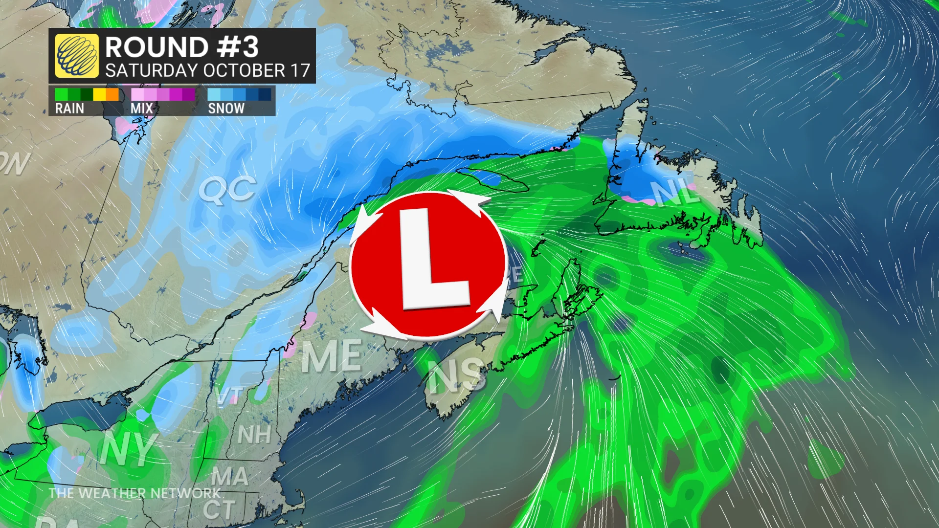
Some wintry precipitation is also likely on the backside of the low, as it pulls in the freezing air from the north.
Stay with The Weather Network for the latest updates and information on your forecast across Atlantic Canada.