Weekend rain ends Ontario's dry spell, but more heat is coming
After the longest dry stretch in eight months, much of southern and central Ontario are set to see showers and thunderstorms this weekend, with warmer temperatures and sunshine returning early next week
After a 10-day stretch of rain-free weather, dry conditions across much of southern and central Ontario are set to end this weekend.
DON'T MISS: Visit our complete guide to Summer 2026 for an in-depth look at the Summer Forecast, tips to plan for it and much more!
On Wednesday, Toronto Pearson International Airport (YYZ) marked 10 consecutive days without rainfall – the first extended dry spell of this length since late September to early October!
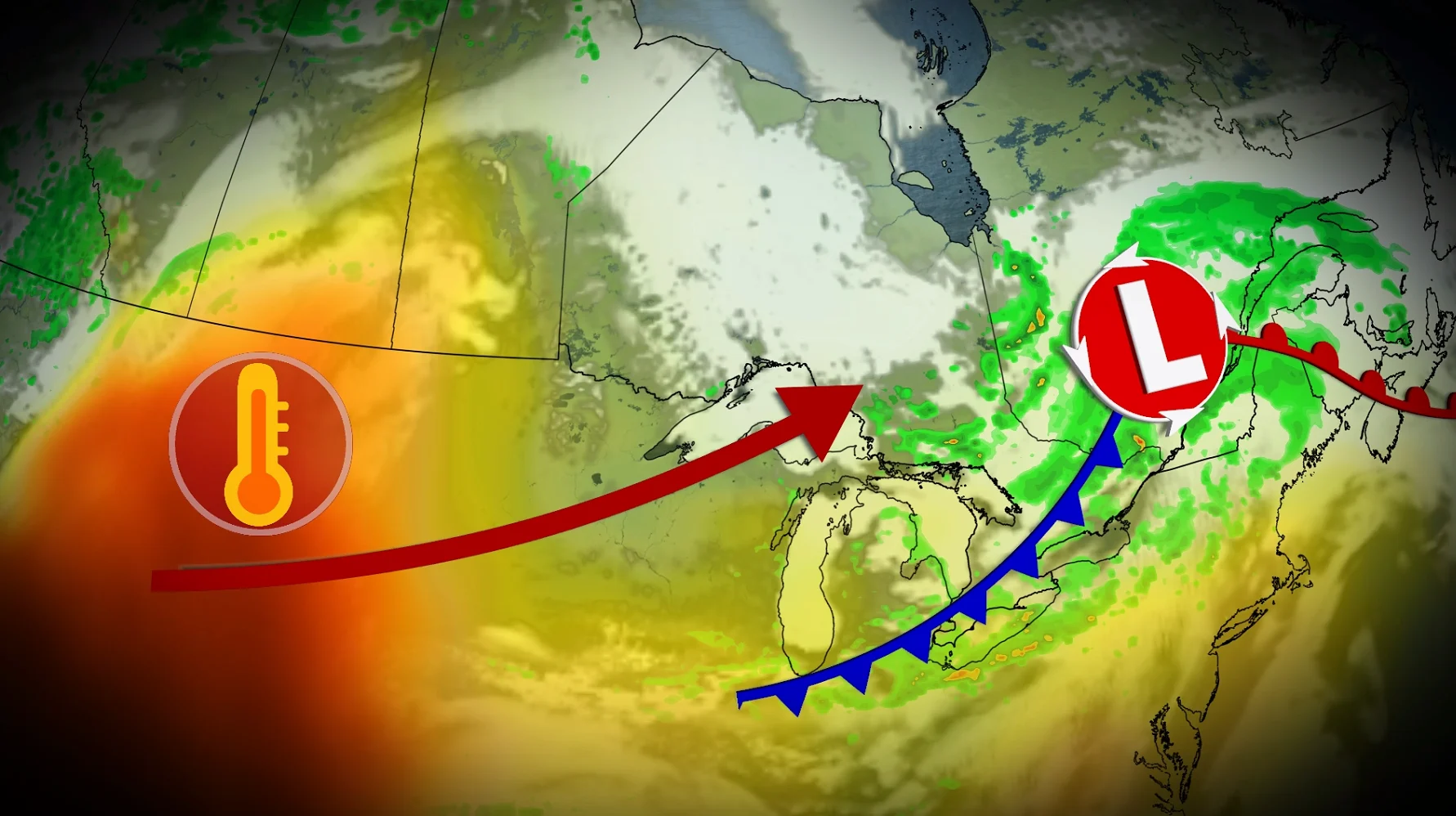
Thursday will bring clear and sunny skies, providing one last rain-free day to the region. However, an approaching system from the northwest will increase the chance of showers and thunderstorms Friday evening, marking the start of more unsettled weather.

Weekend rain could spoil outdoor plans
Rain and thunderstorms are forecast to move into southern Ontario on Saturday, potentially bringing rainfall totals of 10-20 mm, with locally higher amounts possible.

Some regions could see isolated thunderstorms lingering into Sunday, but conditions should steadily improve throughout the day.
SEE ALSO: The pros and cons of an El Niño summer across Canada

More sun and heat return for next week
Looking ahead to early next week, an incoming ridge is expected to bring warmer temperatures and more sunshine. Highs in the mid to upper 20s are forecast, with some areas in northern Ontario possibly exceeding 30°C. However, scattered showers and thunderstorms may develop mid-to-late week.
Be sure to check back for the latest weather updates across Ontario.