Quebec: Blast of strong winds makes for howling start to November

The province is set for a blustery start to the month.
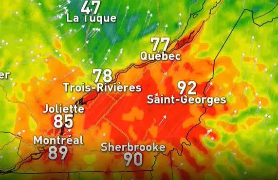
The first day of November is going to hit Quebec hard, not due to the lingering downpours, but because of the very strong winds that will be ramping up Friday morning, reaching 90 km/h in some areas. For more details on what to expect, see below.
WEATHER HIGHLIGHTS
Strong winds peak in the late morning and early afternoon
Snow for areas further to the north
All precipitation ends by the evening
Stay up-to-date on the ALERTS in your area
Friday will dawn with scattered showers for areas along the St. Lawrence River and the Eastern Townships, and people in the province can expect temperatures to fall through the day as the system tracks to the northeast.
As it departs, wind gusts are set to gradually increase in speed through the early morning, peaking in the late morning and early afternoon.
"Wind gusts for Montreal, Quebec, the St. Lawrence River Valley, and the Eastern Townships will range from 70-90 km/h," Weather Network meteorologist Matt Grinter said Thursday. "Wind gusts will diminish by the evening hours for Montreal and through the evening for Quebec City."
WATCH BELOW: POWERFUL WINDS BLAST THROUGH QUEBEC
Those will be very powerful winds, and residents would be wise to secure anything that's in danger of being blown away, particularly if they put up Halloween decorations.
Meanwhile, those dropping temperatures could make for a rain/snow mix with the storm's wraparound moisture. Higher elevations in the eastern townships will have a better chance to see flurries, compared to Montreal and Quebec, along the St. Lawrence River.
Snow will continue in western Quebec Friday morning, but will move out of the region through the afternoon. The heaviest amounts will be in the north of the province, and areas north of Quebec City.

All precipitation moves out of southern Quebec through the afternoon hours and eventually out of Quebec city by the evening.
Check back for updates as this system continues to unfold.