Stagnant weather pattern envelopes Vancouver Island this week

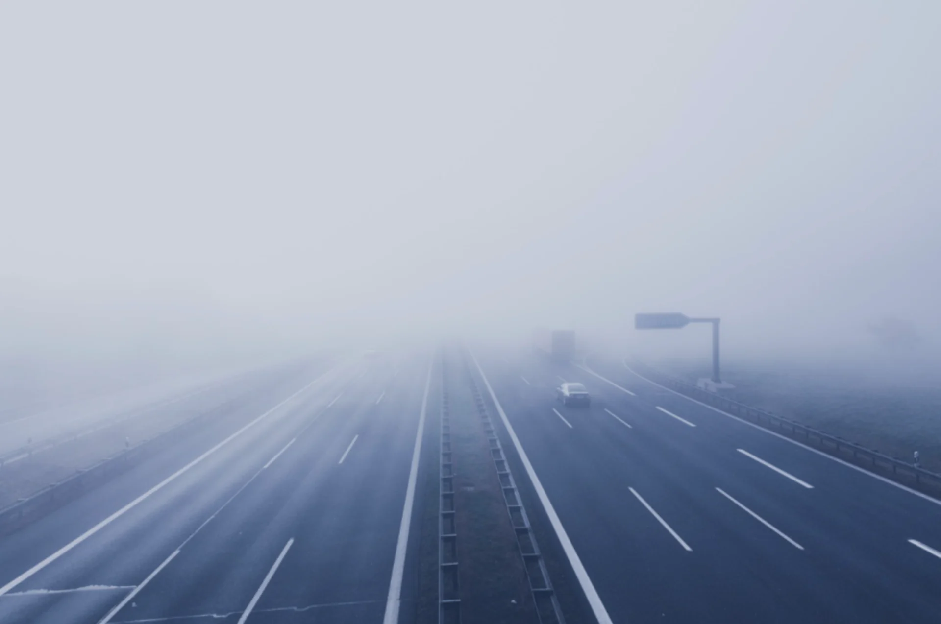
A blocking pattern building over the West Coast will allow thick fog to settle over much of the Lower Mainland this week.
British Columbia has seen a decade’s worth of active weather in the past year, so any sign of a calm pattern is always welcome news. Sometimes, though, that calm isn’t all it’s cracked up to be. A large blocking pattern setting up in the atmosphere over the West Coast will keep things stagnant across much of B.C. this week. The pattern could lead to another round of repetitive fog across the Lower Mainland. More on what to expect this week, below.
A REX BLOCK IS BUILDING
We’re in the stages of a Rex block building across the eastern Pacific.
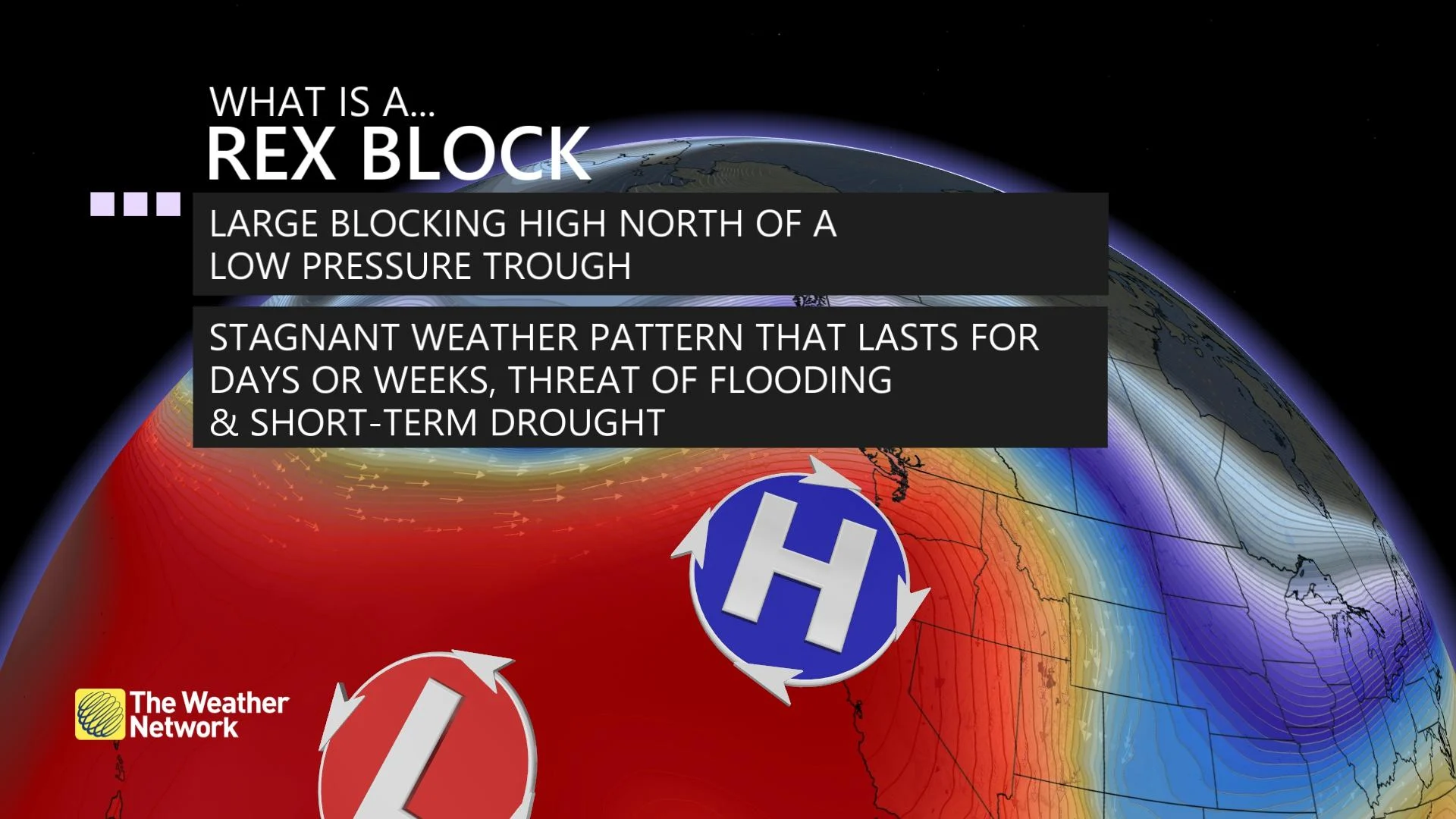
This type of blocking pattern forms when a steep ridge of high pressure builds over a trough of low pressure to its south. This setup creates an atmospheric logjam, so to speak, shunting the active storm track far to the north and leaving everyone beneath the ridge in a stagnant pattern.
Stagnant weather beneath a Rex block can last for weeks in extreme cases, locking in long spells of dryness or rainy weather depending on the overall setup. This week, however, we could be on track for some foggy weather for the Lower Mainland.
THE RIDGE WILL CAUSE AN INVERSION—AND FOG
The upcoming pattern is the perfect recipe for a temperature inversion. An inversion forms when a layer of warm air aloft gets sandwiched between two layers of cold air.

This layer of warm air effectively forms a lid that ‘caps’ the atmosphere and prevents cool air at the surface from rising and mixing with the surrounding environment. Inversions are a frequent culprit behind long spells of gloomy and rainy weather, especially in areas where cold air tends to pool up in valleys or dam up against the side of a mountain range.
We’re looking at a likely temperature inversion setting up beneath this Rex block. The cool air trapped beneath the inversion could lead to several days of fog across the Lower Mainland, including Metro Vancouver.
The low February sun angle will prevent enough sunlight from reaching the surface to warm up the air and mix out the inversion. This spell of fog and cool air trapped near the surface could also keep high temperatures lower than they’d climb otherwise.

Warmer air building beneath the ridge will also send freezing levels soaring through the end of the week. The freezing level will soar to 1900 metres on Wednesday, rising again to 2800 metres by Friday.
These higher freezing levels will lead to a ‘considerable’ avalanche danger across most B.C. ranges through at least the middle of the week, according to Avalanche Canada.
Stay tuned to The Weather Network for the latest on conditions across British Columbia.