More rain expected across Atlantic Canada into Saturday

Colliding air masses bring rain and cooler temperatures to Canada’s East Coast this week
Clashing Arctic and Gulf air masses are set to bring multiple rounds of rain to Atlantic Canada through the end of the week.
A stalled high-presure system over the southeastern U.S. is pushing moisture north, while a cold high-pressure system over Hudson Bay is heling drive an active storm track from the Praires to Atlantic Canada.
Widespread rainfall of 20-40 mm is forecast across the Maritimes and Newfoundland, with locally higher amounts possible across southern Nova Scotia and Newfoundland's coast.
DON'T MISS: Canada's Winter Sneak Peek: El Niño puts record warmth in play
Thursday: Lingering showers and gusty winds
Steady rain will clear Newfoundland from west to east Thursday morning, but wraparound showers will linger through the day, reaching the Avalon Peninsula by evening. Showers around Prince Edward Island and Cape Breton will taper off through the afternoon.
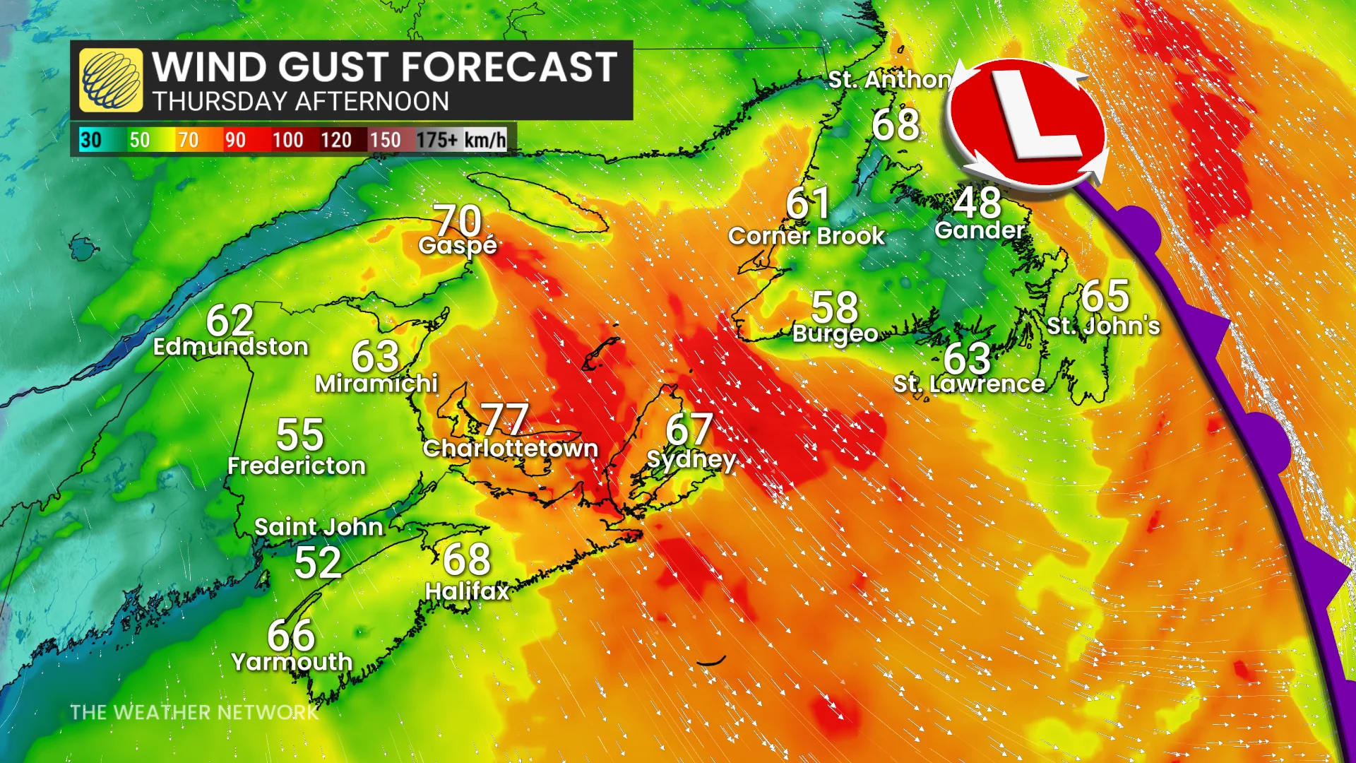
Gusty northwesterly winds are also expected across Newfoundland and the eastern Maritimes.
DON'T MISS: Winter has a few tricks up its sleeve for Eastern Canada this year
Friday-Saturday: Another round of rain
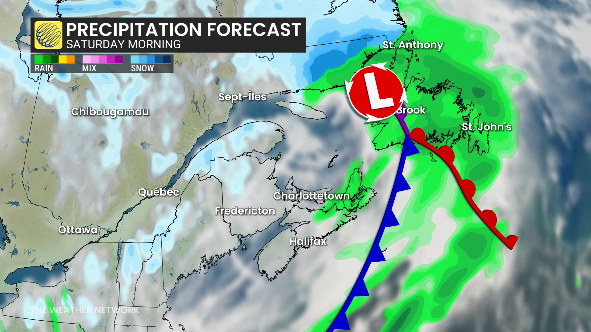
A final system will move into the region Friday, bringing light to moderate rain to the Maritimes by the afternoon and evening. The rain will clear from west to east Saturday morning.
In Newfoundland, rain will begin Friday night before spreading across the island through Saturday morning. Conditions will improve from north to south by early afternoon, although showers may linger across the Avalon Peninsula into the evening.
Stay with The Weather Network for the latest updates and information on your forecast across Atlantic Canada.