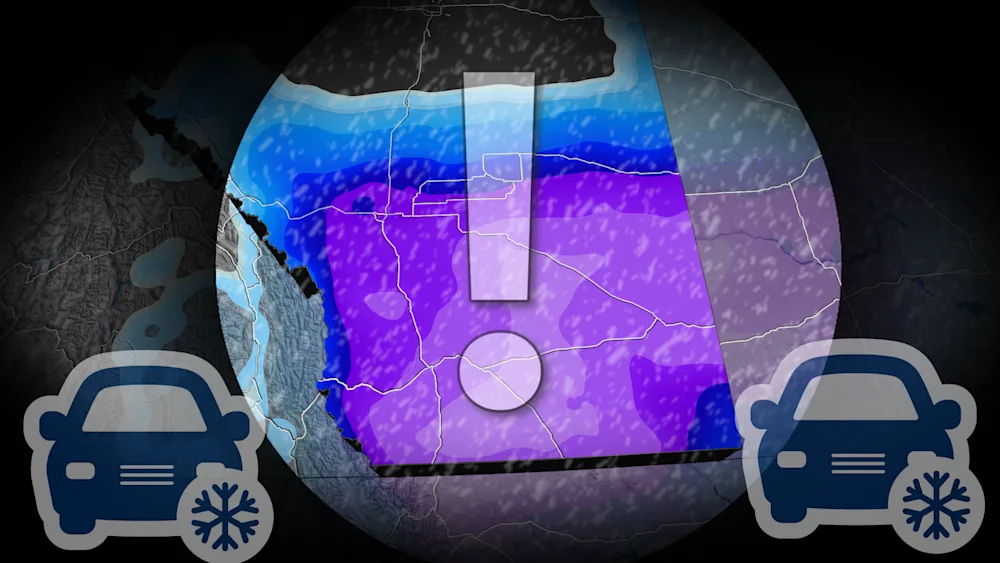
Up to 30 cm snow storm prompts warnings in southern Alberta

A high-impact snowstorm will bring up to 30 cm in southern Alberta starting Tuesday.
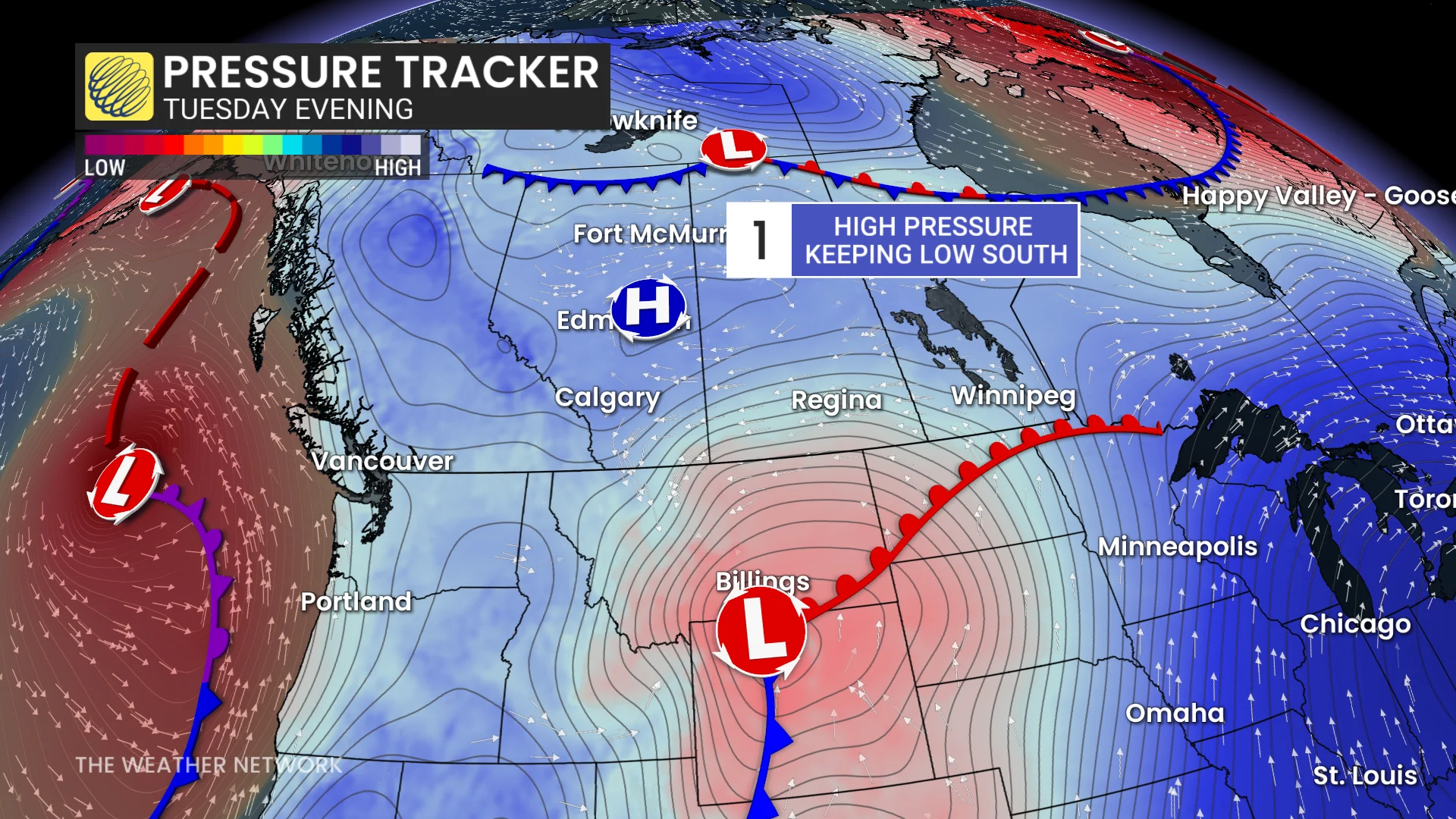
This isn't the first snow event of the season for Alberta, and it certainly won't be the last. Much of southern Alberta, including Calgary, is under a snowfall warning Tuesday, as a Wyoming/Montana low tries to track along the international border.
A block of high pressure over central Alberta will not only keep the low from tracking too much into the province, but will also pull Arctic air southward toward the international border. However, with the low's warm front nudging north, there will likely be some rain mixed in with the snow throughout the day.
SEE ALSO: Exploring Tofino, B.C.: Canada's storm-watching capitol
The low itself isn't very notable; there isn't a deep area of low pressure to bring very impactful winds with the snow, although we could see them pick up to 50 km/h on the back end of the storm.
Parts of southern Alberta could see up to 30 cm of snowfall before it tapers off on Wednesday, impacting commutes and travel conditions.
"Roads and walkways will likely be difficult to navigate due to accumulating snow. There may be a significant impact on rush hour traffic," Environment and Climate Change Canada states in the snowfall warning. "If driving, turn on your lights, slow down and maintain a safe following distance."
Wet snow, at times heavy, begins Tuesday
A rain-snow mix will divide southern Alberta from the rest of the province through Tuesday afternoon.
To the west, we'll see the Arctic air help fuel prolonged snowfall over the Rockies, with heavier snowfall expected at higher elevations.
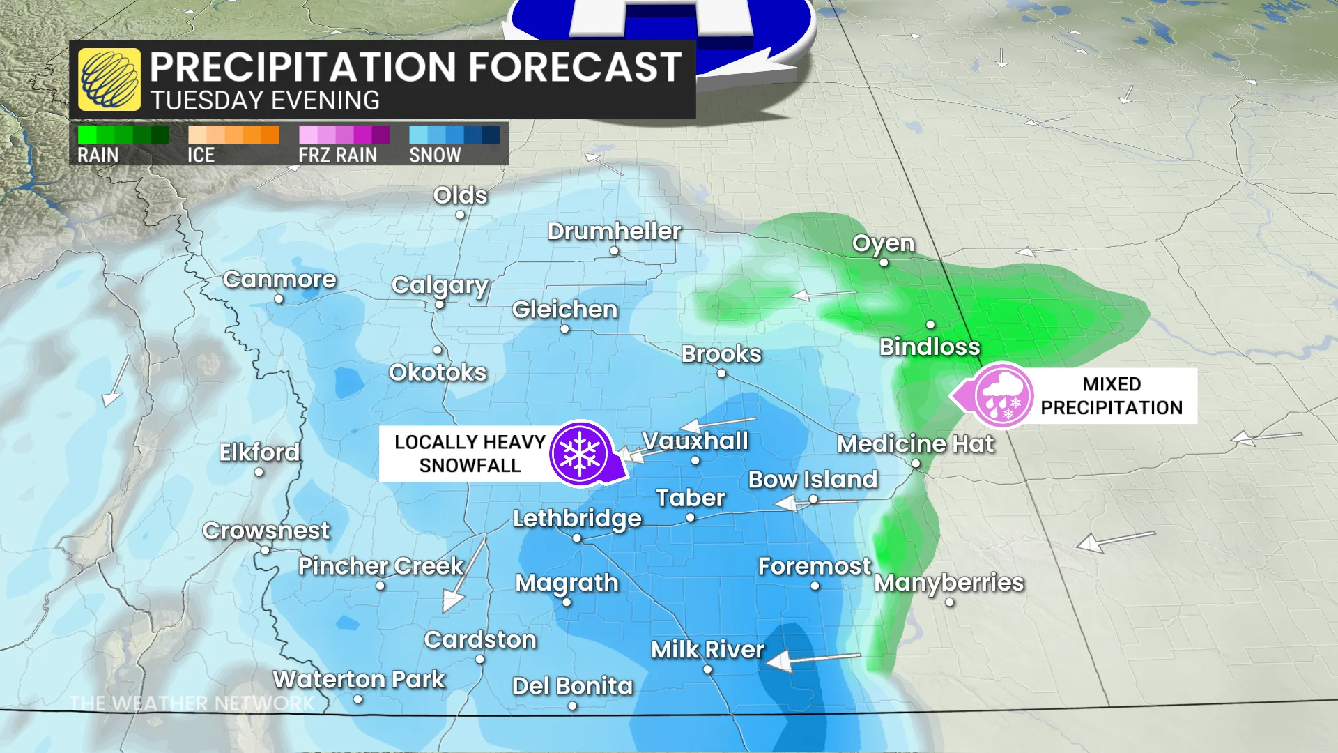
East of Lethbridge, we should see some rain mixed in with the snow through the day, but fully transition to snow by evening as temperatures drop.
The Calgary area can expect to see 15-20 cm of snowfall through Tuesday and into Wednesday. Folks along Cypress Hills could see higher totals thanks to the upsloping nature of the terrain.
DON'T MISS: Why cold weather makes your joints hurt
Impacts to travel along the QE2, Highway 3, and the Trans-Canada Highway between Gleichen and Medicine Hat are expected, especially during the evening rush hour. Up to 30 cm of snowfall is possible along the Trans-Canada.
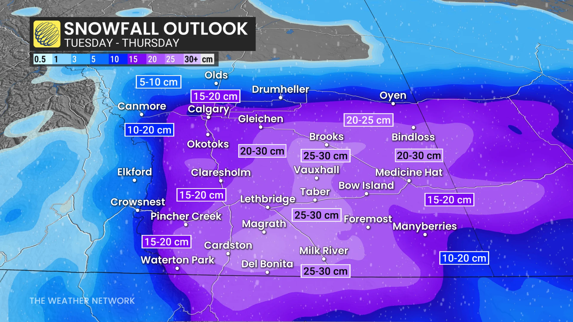
By Wednesday morning, the heaviest of the snow will begin to shift into eastern Alberta and Saskatchewan.
Overall, temperatures are forecast to hover around the freezing mark, which means we should see some wet snow with this event. Wet snow is famously harder to shovel thanks to the added weight of liquid water in the snow, so be sure to take frequent breaks while cleaning up.
It is possible that more warm air than forecast could stay put, reducing snow totals in eastern portions of the province. On the other hand, we could see increased snow totals to the west where the terrain is more uneven, allowing for an upsloping effect to take place.
Stay with The Weather Network for more information and updates on your weather in Alberta.