Up to 25 cm snowfall brings widespread closures to Ontario, Quebec
Parts of southern Ontario could see their biggest snowfall event of the season so far, with 10-25 cm expected to fall through Thursday. Travel will likely be difficult as road conditions and visibility degrade
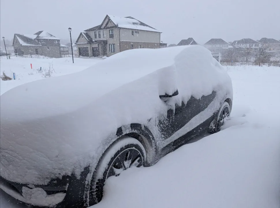
A snowstorm has arrived in southern and eastern Ontario, and southern Quebec, bringing totals ranging from 10 to 25 cm expected through Thursday.
Prepare for potential travel delays through Thursday as multiple commutes may be affected. As mentioned above, up to 25 cm of snow is expected, depending on the locale, with blustery winds accompanying the system and reducing visibility at times. Yellow-level snowfall warnings are in place.
Multiple school boards across Ontario have also announced full closures of schools and offices on Thursday due to the heavy snowfall. Other school boards that have chosen to remain open have cancelled all buses Thursday morning.
Toronto Pearson International Airport is also experiencing widespread delays and cancellations due to the weather Thursday morning.
DON’T MISS: El Niño incoming? Forecasters see signs of big changes ahead
There have also been numerous reports of vehicle collisions along major roads and highways across the province resulting in closures.
Frigid Arctic air will take hold next week, bringing lake-effect snowsqualls to snowbelt regions east and southeast of Lake Huron and Georgian Bay. Winter weather conditions are anticipated to persist through the end of the month, so be sure to stay up-to-date on the weather and alerts in your area.
Heavy snowfall continues through Thursday
Snowfall intensity is expected to pick up through the overnight, especially in communities along the southern Great Lakes, including the southern Golden Horseshoe, parts of the Greater Toronto Area (GTA), and Prince Edward County.
Some GTA communities have already reported between 15-20+ cm of snow as of 7 a.m. ET Thursday.

This increase in snowfall is driven by a strengthening, upper-level low tracking south of Lake Erie and Lake Ontario, enhancing snowfall rates and totals.
RELATED: 'Common sense' driving tips to help steer through Canada's winter
Snowfall moved into Ottawa and Montreal Thursday morning, which will continue to bring heavy snow accumulating through the day. 10-15 cm is forecast for region before the snow tapers west to east by the afternoon.

Projected accumulations for the GTA range from 15-20 cm, extending all the way down to the lake shores. The projection includes the 400- and QEW-series highways.
Between 10-20+ cm is likely for regions east, including Kingston and Peterborough, as well as Niagara, which is on the highest side of that range (20-25 cm).
Blustery winds accompanying the system may lead to blowing and drifting snow, reducing visibility at times.
Lake-enhanced and lake-effect snow squalls could create higher accumulations in snowbelt regions.
WATCH: Heavy snow disrupts morning commute across southern Ontario
Frigid cold returns
Temperatures in southern Ontario steadily dropped throughout Wednesday and will continue to drop through Thursday, bringing daytime highs in the minus double digits. Wind chills could make it feel closer to the -20s for some.
DON'T MISS: Three things to know about the flu with kids back at school
Thursday is expected to bring the coldest daytime high of the season so far in Toronto, which previously dipped down to -7.2°C on Dec. 14.
While a slight temperature rebound is possible by the weekend's start, another surge of Arctic air is forecast to push south, keeping cold conditions entrenched well into next week.

Snowy pattern locks in for the days ahead
Snow is expected to return to parts of the province late this week and into the weekend, with rounds of snowfall in the forecast for Friday, Saturday, and Monday.
A winter weather pattern is expected to persist through the end of January, with a close eye on the potential development of Colorado, Texas, and Gulf lows that could move northward across eastern North America. While there is a chance the storm track may remain too far south to significantly affect the region, this pattern increases the likelihood of notable winter storms in affected areas.
WATCH: Stormy weather moves into Quebec, blowing snow impacts visibility
Be sure to check back for the latest weather updates across Ontario and Quebec.