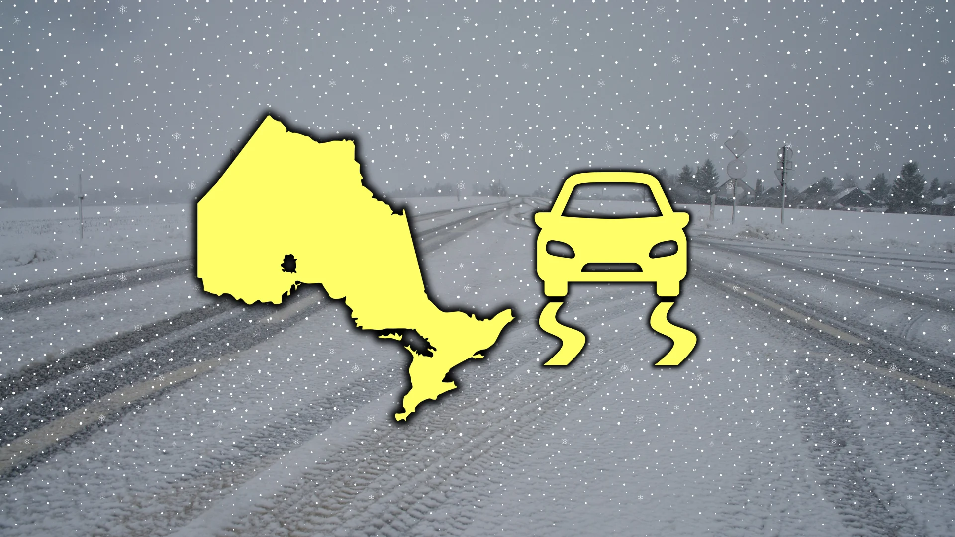
Up to 15 cm possible as clipper brings fresh snow into Ontario
Prepare for snow-covered roads across parts of Ontario overnight Saturday into Sunday
Happy spring! A clipper moving out of the Prairies will drag a fresh round of snow across Ontario beginning Saturday evening and lingering into Sunday.
Some of the same regions dealt extreme snowfall from the recent Colorado low will see another round of heavy snow from this upcoming system.
Prepare for slow travel and slick roads heading into Sunday as the blanket of snow arrives.
DON’T MISS: Will Canada’s volatile March go out like a lion or a lamb?
Clipper pushing into Ontario from the Prairies
A weak clipper that started in Alberta on Friday evening slid across the region toward the Great Lakes to begin the weekend.

Precipitation will move into central and southern Ontario beginning Saturday evening, continuing through the overnight hours and lingering into the day Sunday.
The heaviest bursts of snow are forecast near Lake Superior, across the same areas that saw extreme snowfall from our recent major winter storm.
A touch of a wintry mix is possible north of the Greater Toronto Area near Lake Simcoe and Peterborough through early Sunday morning.

Folks around the Greater Toronto Area and southwestern Ontario can expect a couple of rounds of rain showers as the system grazes the region.
Overall snowfall totals of 5-10 cm are on tap for most areas, including Ottawa and North Bay, but localized totals up to 15 cm are possible east of Lake Superior.
Stay with The Weather Network for all the latest on conditions across Ontario.