Another thunder threat as unseasonably mild weather kicks off March in Ontario
Enjoy the unseasonably warm weather while you can before a cold front arrives late Tuesday
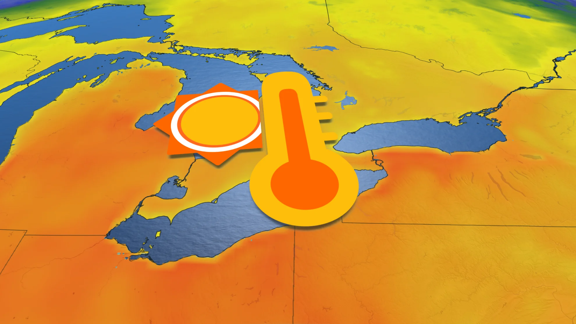
We’re on track for a gorgeous start to the week across southern Ontario as southerly winds pump warm temperatures into the area.
Readings will rise high enough to threaten daily temperature records for some communities.
Enjoy the pleasant weather while you can, though—a cold front pushing across the Great Lakes late Tuesday will bring rain and even a threat of thunderstorms.
DON’T MISS: Ontario’s exceptionally warm February landed in the records

A nice start to the week feels like a consolation prize as the first few days of March brought patchy dense fog to southern Ontario. That low-hanging gloom is on its way out, thankfully, replaced with warm winds blowing across the border.
Ample sunshine and a comfortable southerly breeze will allow temperatures to rise into the teens as we start the workweek. Daytime highs on Monday will rise into the teens across southern Ontario and even approach the 20-degree mark down near Windsor.
One asterisk with early-spring warmups is that unseasonable temperatures depend on which way the wind blows. Folks directly downwind of the cold waters of Lake Ontario and Lake Erie will see lower temperatures than communities farther inland.

We’ll see a repeat performance on Tuesday as temperatures climb a little higher on gustier winds. Readings in the mid-teens are likely throughout the entire region, which could challenge daily records for a few communities.
Change is on the horizon, though. The same storm responsible for the warm southerly winds will drag a cold front across the Great Lakes on Tuesday. This front will approach southern Ontario into Tuesday afternoon and evening.
MUST SEE: Expect a turbulent March across Canada as the seasons duke it out

Expect a period of rain to accompany the front’s arrival during the day Tuesday, with 5-15 mm likely, and higher totals possible in central sections. A bit of instability creeping across the border may even lead to a risk for thunderstorms across southwestern Ontario as the front pushes through.
Any thunderstorm activity on Tuesday wouldn’t come close to matching the intensity or coverage of the tremendous late-February storms we saw last week, but rumbles of thunder are a conversation starter either way. The potential for thunder closer to the GTA is still uncertain, as it depends on how far north the instability manages to reach.

Cooler conditions will sweep into southern Ontario behind the front, but readings will likely remain on the milder side of seasonal for the remainder of the week. Forecasters are watching the potential for unsettled weather to return to the region heading into next weekend.
Stay with The Weather Network for all the latest on your forecast across Ontario.


