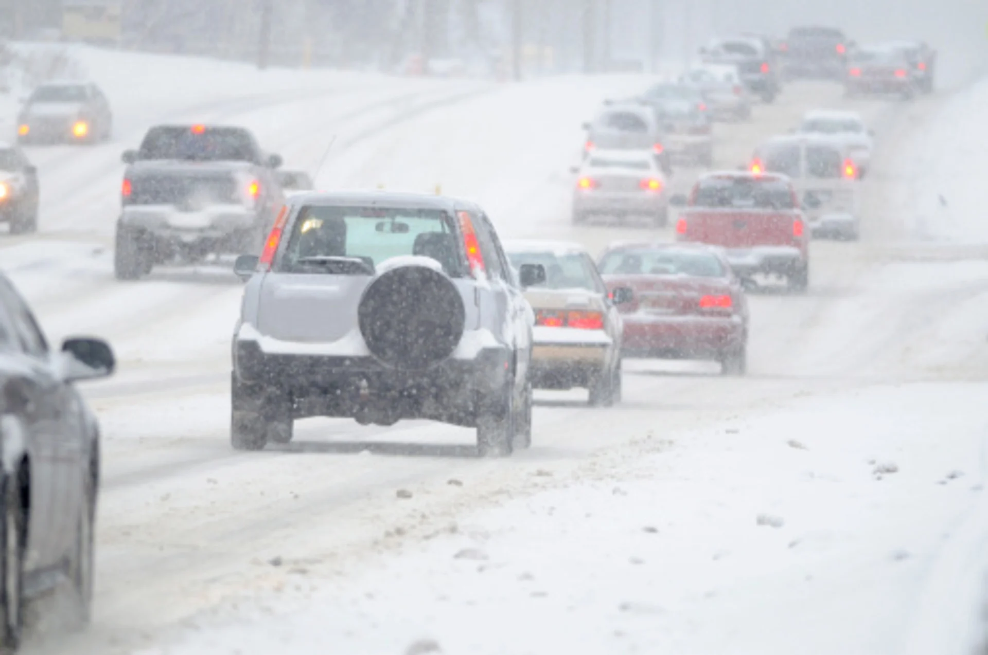
Treacherous travel on the Prairies likely with new, wintry blast
A good portion of the Prairies will get another sneak preview of winter this week, with freezing rain, snow and gusty winds likely to disrupt commutes
Drivers on the Prairies are being urged to plan ahead and prepare for wintry weather once again this week.
MUST SEE: When should you switch to winter tires? Provincial breakdown, here
The wintry cocktail will see freezing rain, snow and blustery winds offered up to the Prairies, likely to lead to some hazardous travel conditions and perhaps road closures, as well.
Some areas could see 5-15 cm of snow by the time the system departs.
RELATED: Here’s how early skiers lined up for elusive 'first chair' at Lake Louise
Saskatchewan and Manitoba
Through the early afternoon Tuesday, a period of freezing rain swept across the southern border of Saskatchewan and Manitoba. A few hours of freezing rain were picked up at the Regina and Winnipeg airports. However, colder air switched the icy precipitation into snowfall in the evening.

MUST SEE: Canada's November Outlook: A smooth transition or a free fall into winter?
Tuesday night's travels will feature accumulating snow building across southern Manitoba, including Winnipeg, with between 5-15 cm likely.
Conditions will ease by Wednesday morning, but a trailing trough will brush flurries across Saskatchewan through the day as the system continues to push east.
Thumbnail courtesy of Getty Images.
Stay with The Weather Network for the latest on conditions across the Prairies.