Travel in Ontario remains treacherous amid blustery winds and snow
A combination of snow and howling wind gusts will continue to make for difficult travel in Ontario into Tuesday, so plan ahead and brace for slower commutes, as well as additional power outages
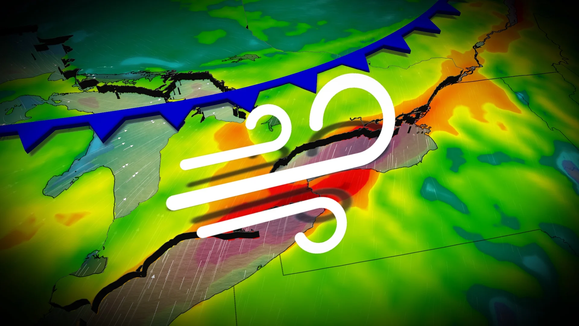
A powerful storm rolled into Ontario on Monday, kicking off the final days of January with a bang.
Numerous weather alerts from blizzard, wind and snow squall warnings to weather advisories and special weather statements were issued as the potent cold front pushed through the province. Snow and blustery wind gusts made for difficult, hazardous and even dangerous travel in the hardest-hit regions.
DON’T MISS: January’s jet stream drama leads to February pattern swap in Canada
Thousands are in the dark as a result of the potent winds. Hydro One reported more than 18,000 customers were without power as of late Monday evening. The latest outages can be found, here.

Earlier on Monday, the Ontario Provincial Police reported a series of road closures in Grey Bruce County. Updates on road closures can be found on 511on.ca.
Stay up-to-date with the latest weather alerts in your area, and be sure to monitor road conditions throughout the region as this hazardous system gets underway.
Into Tuesday: Hazardous travel remains as snow, winds linger
A very deep area of lower pressure swirling across Hudson Bay and its associated cold front delivered an extra punch as it swept through Ontario on Monday.
RELATED: What turns a snowstorm into a raging blizzard?

Snow squalls along the cold front pushed into parts of southern Ontario into Monday evening, and around and just after midnight Tuesday for the 401 corridor. The dangerous combination of heavy snowfall and strong winds could catch commuters and drivers off guard throughout the region. Use caution if you're commuting in the Greater Toronto Area (GTA).

DON'T MISS: The crucial extra item you must include in your winter emergency kit
Gusts could range from 70-100 km/h across the Niagara Peninsula and into eastern Ontario during the evening commute home.
Other regions of strong wind gusts include Hamilton, Dunnville, Guelph, Halton Hills, Kingston, Mount Forest, Niagara Falls, St. Catharines and Owen Sound. Widespread gusts between 60-80+ km/h are likely.
Fluctuations in power outages are likely to continue Monday overnight, as well as tree damage and travel trouble, especially for transport trucks and over bridges. However, since the ground is frozen, that will limit any uprooted trees from the winds.

Temperatures behind the cold front will quickly fall well into the minus teens across the region. For folks around Georgian Bay, temperatures of 0°C at midnight Tuesday will tumble to below -15°C in a just a matter of six hours.
As well, there is another clipper system that will bring more snow Tuesday afternoon and evening for southern Ontario.
WATCH: Treacherous travel and gusty winds continue across Ontario
Be sure to check back for the latest forecast updates across Ontario.