'Be prepared to adjust your driving': Wintry mess in eastern Ontario, Quebec
A wintry mix will make for a mess on the roads in eastern Ontario and Quebec through Wednesday morning, so plan ahead if you need to do any travelling
The early preview of winter is giving Central Canada drivers a reminder on what to expect on the roads over the next few months, and why winter tires are important.
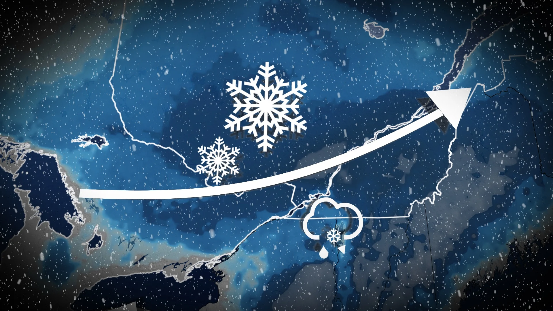
It would be wise to avoid any non-essential travelling in eastern Ontario and southern Quebec overnight through Wednesday morning as a bout of rain, snow, ice and freezing rain move through, varying by your location.
SEE ALSO: Ottawa enters 'diciest' weeks for viral transmission as cold weather returns
Surfaces such as highways, roads, walkways and parking lots may become icy and slippery. Be prepared to adjust your driving with changing road conditions.
WATCH: Freezing rain to snow across Ottawa
Wednesday
Snow continues Wednesday morning for areas along the Ottawa Valley with some rain and mixing in areas south of it.

Snow eases for Montreal in the early morning, with some mixed precipitation and even rain to conclude the system's march through.
By the afternoon, conditions will improve as the precipitation moves out.
In all, between 5-20 cm of snow is expected in the hardest-hit areas through Wednesday, with lesser amounts for places that see mixing or the rain. Snow accumulation could also be limited in certain areas since surface temperatures are high.

WATCH: Messy mix pushing across Montreal
Near-normal or colder-than-normal temperatures are expected to dominate the final week of November and possibly into the first few days of December. However, a much milder pattern is expected to return during the first week of December and then dominate through at least mid-month.
Be sure to check back for the latest forecast updates across eastern Ontario and Quebec.