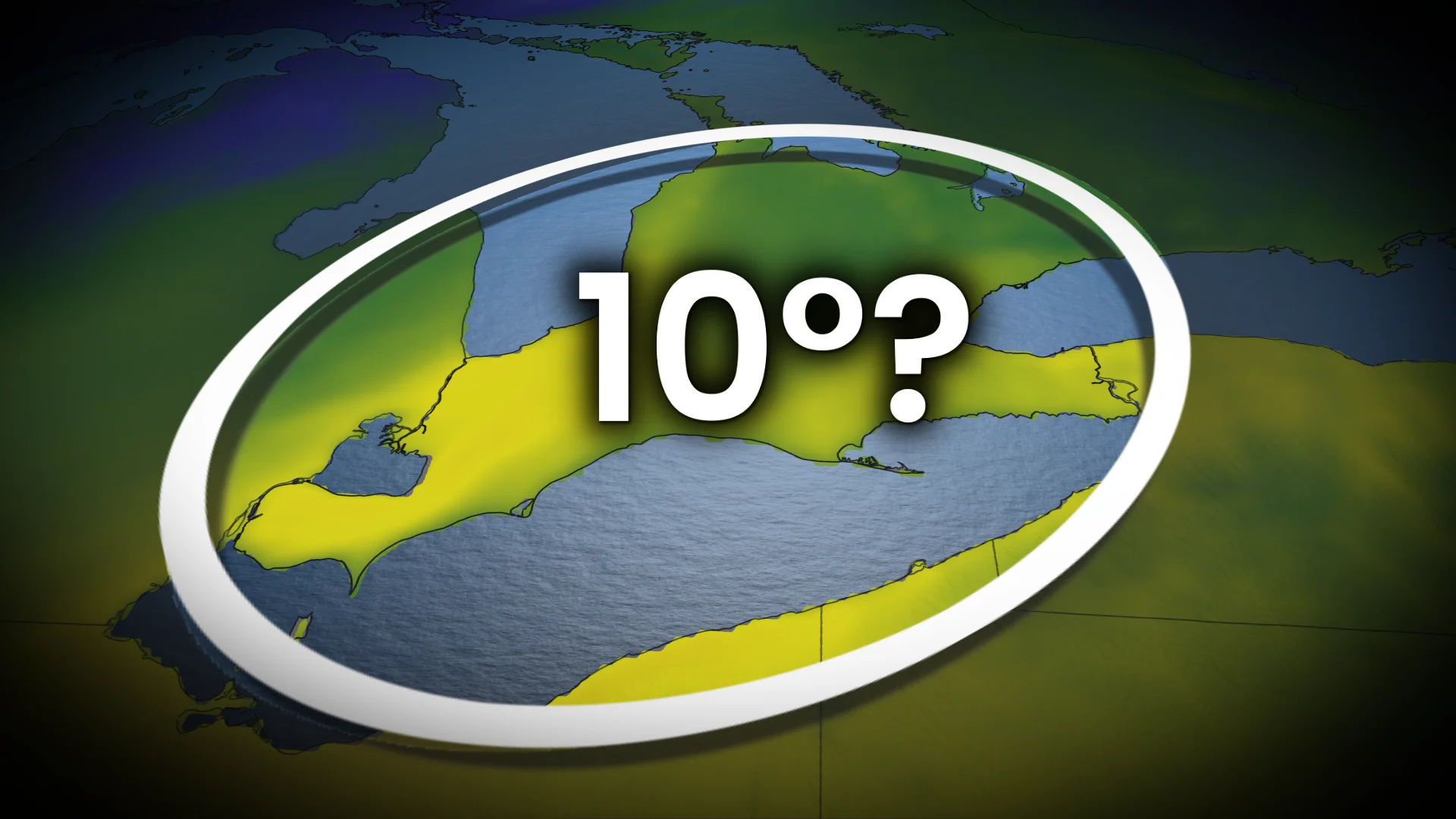
Toronto may see a January double-digit high on Friday

Toronto will be one of several locations in southern Ontario that will have a chance to hit double-digit warmth on Friday, but it will come with potential hazards
You might be noticing this in your forecast, Toronto: Ten, 11, maybe even 12 degrees coming up?
No, it's not an error. Multiple locales in southern Ontario, not just Toronto, have a chance to reach double digits for the first time this year--stretching down to Windsor on Friday.
DON'T MISS: Many snowbanks in peril: Why a January thaw is a cause for concern
Why will it be that warm?
A storm is tracking north of the region. It will lead to a surge of very mild, southerly air across southern Ontario, raising temperatures well above normal.
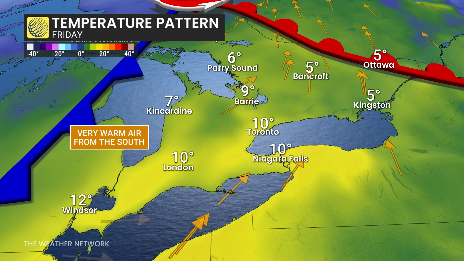
In Toronto's case, recording a 10-degree daytime high would be 12 degrees above our normal of -2°C for this time of year.
The January thaw will inevitably come with impacts of heightened flood potential and snowmelt, also accompanied by 10-20 mm of rainfall through the day.
Snowbanks and snow depths in southern Ontario are expected to diminish significantly as mild temperatures and rain arrive this week.

The combination of snowmelt and rainfall could create localized flooding, particularly in areas where storm drains are blocked by snow. Residents should monitor for potential ice jams along rivers, which could exacerbate water levels, as well.
The warming trend will likely lead to unsafe ice conditions on lakes and ponds. The rising temperatures could weaken ice cover and reduce its thickness, posing a risk for those venturing onto frozen water bodies.
However, don't rush out to the patios just yet. This warm-up will not last as January's cold and snowy weather will return after this weekend.