Ontario, Quebec expect more storms Friday before nice weekend

Some more thunderstorms are possible across Ontario and Quebec on Friday before beautiful weather blankets the region in time for the weekend.
Ontario and Quebec endured quite the active Thursday as severe thunderstorms trekked across the two provinces, bringing strong winds, large hail, and multiple tornado warnings to the region. Folks cleaning up from Thursday’s storms may have to dodge more showers and storms on Friday. We’re going to enjoy a gorgeous weekend to make up for it. More on what you can expect in the days ahead, below.
PHOTOS: Damage, outages reported as powerful storms hit Ontario, Quebec
THURSDAY NIGHT: SEVERE STORMS CONTINUE FOR EASTERN TOWNSHIPS
The rough storms that covered portions of southern Ontario and southern Quebec during the day on Thursday moved east into the evening hours. Storms have cleared Ontario for the evening, with the remaining strong storms focused on the St. Lawrence region and Eastern Townships.
Watches and warnings remain in effect across southern Quebec, where storms could produce strong winds, large hail, and heavy rain. Isolated tornadoes can’t be ruled out.
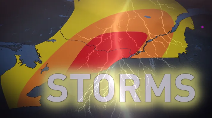
A cold front diving south on Friday will bring another round of storms for parts of eastern Ontario and southern Quebec, however atmospheric dynamics don't look as favourable for the stronger storm development.
LOOKING AHEAD: A PLEASANT AND REFRESHING FATHER'S DAY WEEKEND
Friday is shaping up to be a lovely day behind the cold front. Temperatures will fall to around seasonal for the day, with a chance for showers and thunderstorms cropping up across parts of Ontario and Quebec.
SEE ALSO: The top digital and analog thermometers for your own backyard
We’re looking forward to a “sunsational” weekend across Ontario as this cooler pattern temporarily settles in for a few days. Abundant sunshine, lower humidity, and pleasant—albeit slightly below seasonal—temperatures will prevail. It’s going to be a fantastic Father’s Day for any outdoor plans.
Beyond, a warming trend is anticipated for early and mid-next week as the heat wave over the U.S. Midwest attempts to spread into the region. There is uncertainty as to where the boundary will be between the tropical heat and humidity versus the more comfortable conditions.
Southwestern Ontario will likely have a couple days of excessive heat with a humidex into the 40s. This pattern favours a couple of MCSs (mesoscale convective systems) near the warm front. Cooler weather is expected to return late week and weekend.
WATCH: MAJOR DAMAGE IN BELLEVILLE, ONTARIO, AFTER POWERFUL STORMS TEAR THROUGH
Stay tuned to The Weather Network for all the latest on conditions across Ontario and Quebec.