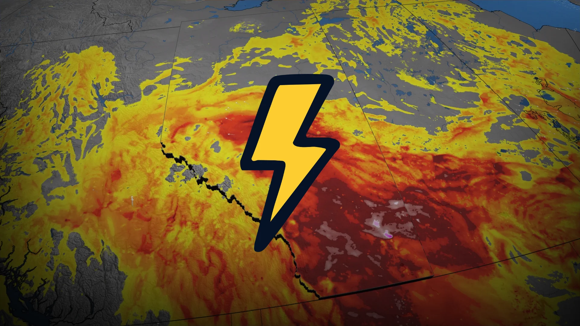
Tornado, hail risk with Friday’s severe storms in Alberta

Stay alert for rapidly changing conditions in your area through the day Friday
Another busy week on the Prairies continues Friday with a renewed risk for severe thunderstorms across Alberta.
The day’s storms could produce strong winds and hail up to the size of golf balls. One or two tornadoes are also possible.
Have a plan in place in case severe weather watches and warnings are issued for your location, including if a tornado warning is issued while you’re in a vehicle.
DON'T MISS: Tornado warning safety: Here’s what you should do
We’ll see the threat for severe thunderstorms and tornadoes increase across Alberta on Friday.
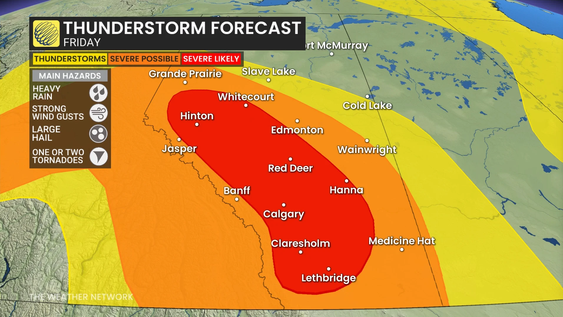
Strong storms will develop just off the foothills northwest of Calgary and migrate eastward through the afternoon and evening hours. The main timeframe is 4:00 p.m. to 10:00 p.m. local.
Folks in and around Calgary should watch the storms closely as they’re likely to pass very close to town during the early evening on Friday.
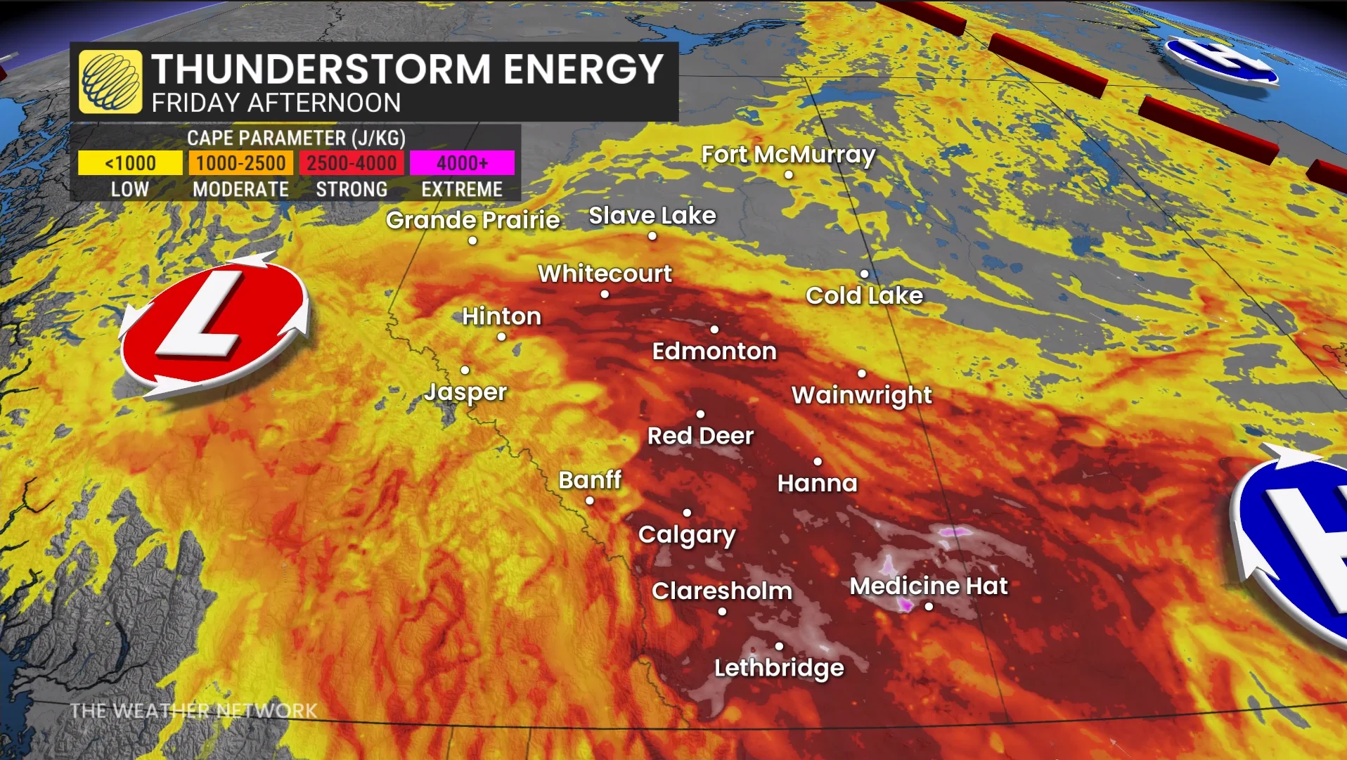
Areas that should remain on heightened alert Friday include communities northwest of Calgary, crossing the QE2 toward Red Deer, Stetler, Drumheller, and Brooks.
The environment will be capable of supporting strong wind gusts, hail up to the size of golf balls, and heavy rainfall. One or two tornadoes are possible, though there is uncertainty precisely where the tornado threat will unfold.
Stay with The Weather Network for all the latest on conditions across Alberta.