Wildfire smoke reduces severe storm threat in eastern Ontario, Quebec

A heat dome to the south generated a "ring of fire" pattern, creating enhanced conditions for severe thunderstorms across eastern Ontario, Quebec, and New Brunswick.
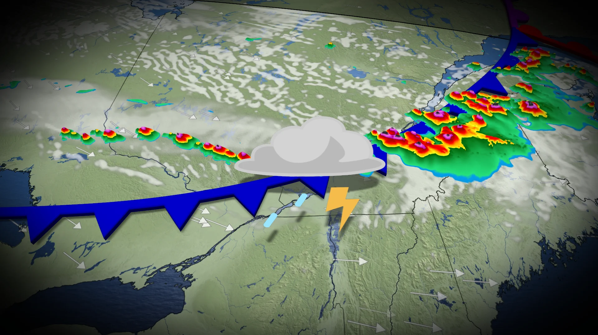
Thick wildfire smoke plume from northwestern Ontario got the best of the severe thunderstorm development in Quebec on Tuesday.
A widespread, high-impact event is no longer in the cards, but isolated, severe thunderstorms are still possible in eastern Ontario and parts of Quebec until late this evening.
DON'T MISS: How a U.S. heat dome could bring severe summer storms to Canada
Residents across these regions should monitor alerts, and be prepared for the quickly changing and deteriorating conditions.
Tuesday: Severe thunderstorm risk for Ottawa region, St. Lawrence, and southern Quebec
According to several accounts, downed hydro poles were reported just east of Drummonville, Que. The L'Avenir, Saint-Lucien, and Hemming Road areas were among the hardest hit after the initial round of storms.
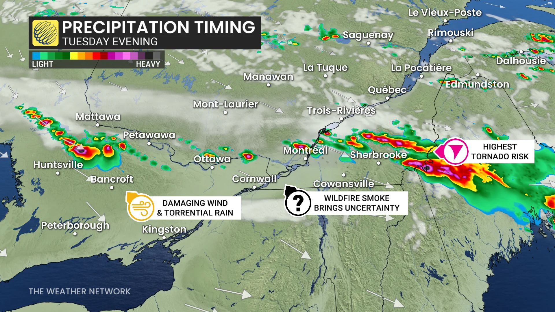
A severe thunderstorm risk is maintained for much of Quebec, and parts of eastern Ontario and northern New Brunswick.
Severe weather ingredients present:
High moisture available with a hot, humid air mass, so there is a torrential rain threat. Storms could drop 30-50 mm of rain locally in an hour.
A strong jet from the northeast provides increased lift for stronger updrafts and downdrafts in mature thunderstorms. Large hail (2-4 cm), as well as strong downbursts, are possible.
Upper-level, dry air in eastern Ontario and southern Quebec. Rain falling through evaporates and cools the air mass, cold, denser air falls rapidly, drawing strong jet stream winds to mix down to the surface. Damaging wind gusts of 100+ km/h are possible.
DON’T MISS: Tornado season is underway in Canada. Here’s what you need to know
Storm activity will diminish overnight, with more comfortable temperatures arriving Wednesday.
WATCH: Could wildfire smoke suppress a severe weather in Quebec?
Severe weather safety is paramount
Pay close attention to rapidly changing weather conditions in your area. For tips on what to do in case a tornado warning is issued, click here.
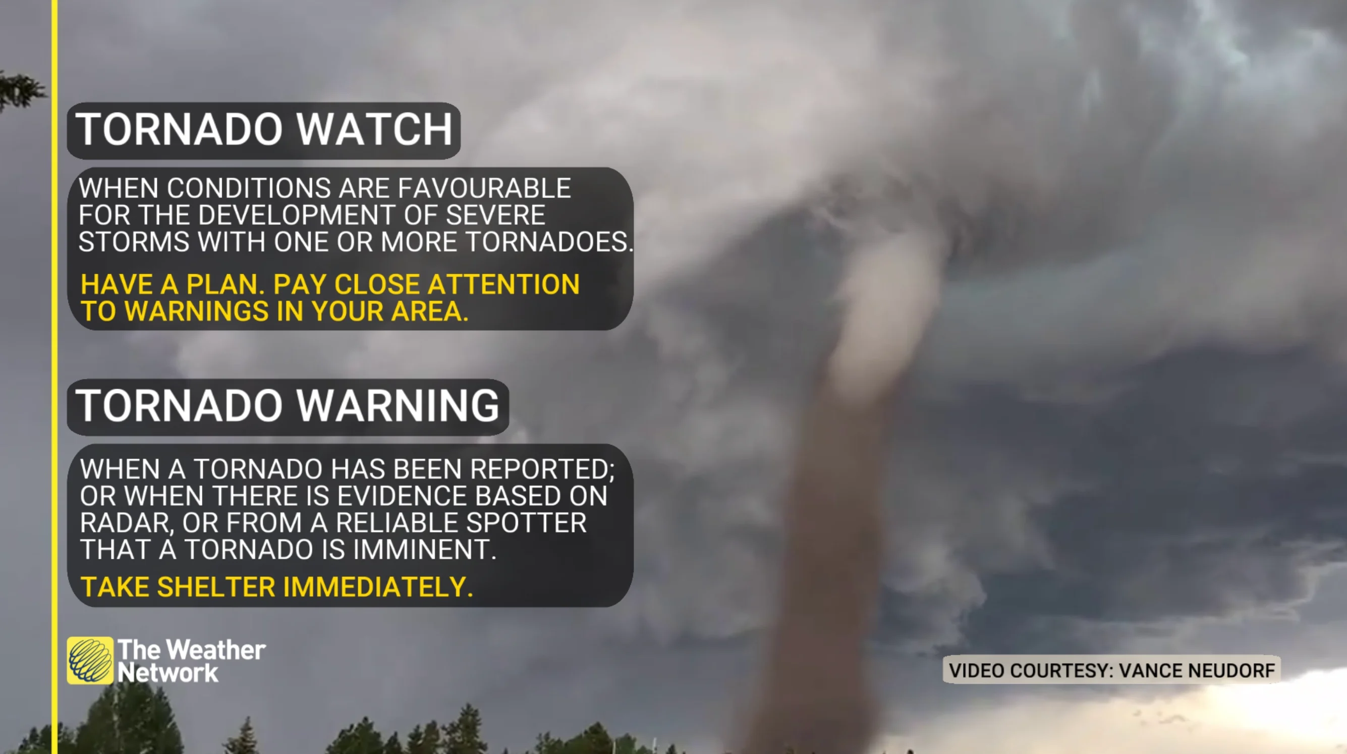
Scout out a safe place to take shelter in your home well before storms approach your location. The safest place is an interior room on the lowest level of the building. The goal is to put as many walls as possible between you and flying debris.
If you’re in a vehicle and a tornado warning is issued, pull over at the nearest sturdy shelter. Never try to outrun a tornado.
Residents in impacted areas are urged to keep cell phones charged ahead of the storm in case of any power disruptions or outages to receive weather alerts (click here to see how to turn on alert notifications from The Weather Network app).