Thunderstorms expected across Ontario Saturday, some may turn severe
A stormy Saturday on tap for parts of Ontario. Chance for severe thunderstorms to bubble up
Thunderstorms are in the forecast for Ontario on Saturday, with some potentially intensifying to severe levels in certain areas. Temperatures will rise into the mid-teens under milder southerly winds, creating conditions for thunderstorm activity.
RELATED: Confidence increasing in a very strong El Niño by this summer
Weather Highlights:
Saturday will bring thunderstorms to Ontario, with a risk of some turning severe
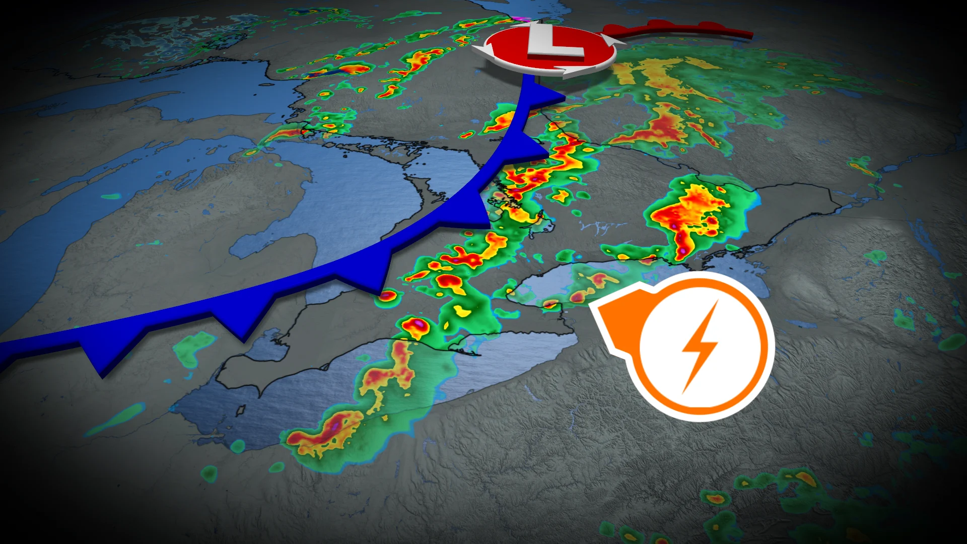
Storms are likely in northeastern Ontario near Chapleau, Sudbury, and Timmins, with a cold front triggering a broken line of storms in southern Ontario by afternoon, moving east in the evening
Heavy downpours and strong winds are possible, especially in inland areas with higher thunderstorm energy

A more organized weather system is expected to move across northeastern Ontario Saturday, sparking thunderstorm development near Chapleau, Sudbury, and Timmins. By the afternoon, the system’s cold front will move into southern Ontario, triggering a broken line of storms.
The highest potential for severe thunderstorms will be inland, where conditions for higher thunderstorm energy are most favourable.

As the storms track east toward eastern Ontario in the early evening, their ability to maintain strength remains uncertain.
Localized impacts may include heavy downpours and strong winds, particularly in areas experiencing more continuous storm clusters.

The exact severity and location of these storms will depend on factors such as cloud cover, prefrontal convection, and warm air advection earlier in the day. Thunderstorm risks may evolve closer to Saturday, so stay tuned to updated forecasts for the latest details.
DON'T MISS: May can bring Canada 30-degree heat and late-spring snows
Be prepared for potential weather changes and keep an eye on local forecasts throughout the weekend.