Thunderstorm risk spreads across B.C., and cooler weather follows
Scattered pop-up thunderstorms expected Wednesday in B.C.'s interior and northern regions
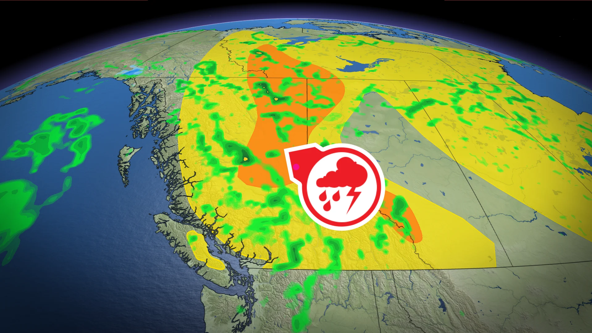
A shifting weather pattern brings a thunderstorm risk to British Columbia on Wednesday. Northern B.C. could see the strongest storms, with hail and strong wind gusts as potential threats.
RELATED: Sizzling heat set to fizzle in B.C. with a cooler pattern looming

A pressure trough will increase instability across the province Wednesday evening.
Showers are likely by late morning, intensifying into thunderstorms during the afternoon as temperatures climb near 30°C, particularly in northeast B.C.

Scattered thunderstorms are possible across central Vancouver Island and much of the Interior. Regions with a higher chance of briefly severe storms include Cariboo, Prince George, McGregor, Williston, B.C. Peace River, Fort Nelson, Muncho Lake, and Stuart-Nechako.
Potential hazards include localized flooding from slow-moving storms and 1-2 cm hail in interior areas.

A pattern shift is expected to bring cooler, wetter weather by Thursday, with daytime highs dropping into the teens by the weekend.
The return of rain should help reduce the current high to extreme wildfire risk in most areas of the province.
