The snow keeps coming as Ontario sees swarm of clippers amid chill
Several snowy clippers will make their way through southern Ontario this week, adding to the region's snowpack. Be sure to stay alert to the changing conditions, and prepare for travel impacts at times
Ontario is embracing a definite winter vibe this week with rounds of snowfall accompanying a bout of chilly temperatures.
Four weather systems are forecast to impact Ontario this week, each bringing a variety of winter-weather conditions. A favourable temperature boundary has developed, shifting the storm track across the province for the week ahead.
RELATED: Toronto increases parking fines as snow hits the city
Meanwhile, a cold start to this week is forecast, with midwinter-like conditions bringing overnight lows in the minus double digits.
Keep the snow-clearing equipment handy and be prepared for difficult and slower-than-normal travel at times.
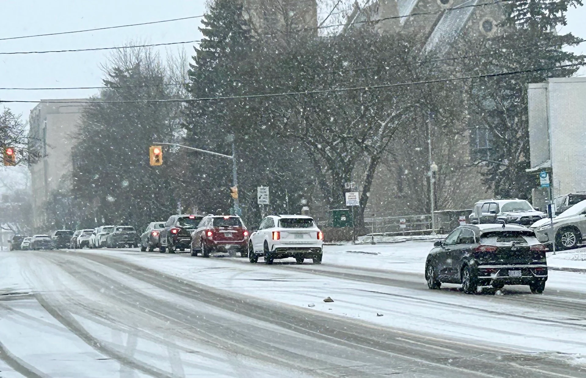
Parade of snowy clippers to bring wintry weather through this week
Clipper No. 1 (impact level is 2 out of 10): Periods of light snow fill in on Sunday afternoon across pockets of southern Ontario. More organized snowfall will be found near Georgian Bay and extending farther into eastern Ontario. Amounts will be modest in nature, with some lake enhancements for areas near Lake Huron.

Most areas will see 1-3 cm of snow, including the Greater Toronto Area (GTA), Locally, 5 cm is possible in areas east of the region, along the 401 corridor from Cobourg to Brockville.
Clipper No. 2 (impact level is 4 out of 10): A new clipper from the Prairies slides across Ontario, beginning early Tuesday morning across the north and southwestern Ontario. Periods of light snow continue through mid-to-late afternoon before tapering west to east. Higher impact because of a more widespread snow signal.

DON'T MISS: Canada’s December outlook holds a strong, cold start to winter
Amounts remain modest still at 1-3 cm (locally 5 cm) as the system interacts with some commuters. Higher amounts along eastern Lake Superior with lake enhancement (10+ cm) and the shorelines of Lake Huron and Georgian Bay.
Clipper No. 3 (impact level is 6 out of 10): The most significant system in this sequence will begin from along the coast of British Columbia on Monday. Although the system slides farther south, negating the impacts across northern Ontario, the warm front crosses into southern Ontario into pre-dawn Wednesday hours.
Commute impacts are likely as periods of wet snow will be ongoing early Wednesday morning across southern Ontario. Areas inland from the Great Lakes, northern sections of the GTA, and eastern Ontario will all see the heaviest snowfall accumulations from this clipper.

If the 5+ cm of accumulating snowfall is timed with the morning commute, that will increase the risk of accidents and greatly slow commute times.
Rain or mixing is likely near the western end of Lake Ontario and farther across southwestern Ontario as temperatures warm above the freezing mark. A lower barometric pressure means gustier winds as the low lifts across the province.
SEE ALSO: Many Canadians dream of a white Christmas, but what are the odds of it?

Clipper No. 4 (impact level is 2 out of 10): By Saturday, another weak low crosses the Great Lakes, bringing more bursts of snow and ushering in more cold Arctic air behind the front.
Although a major storm is not expected, the Alberta clippers will affect travel and commutes while contributing to building a decent snowpack across the region.
Frigid start to this week with midwinter-like cold expected across the region
By Monday morning, some of the coldest air of the season slides south, pushing temperatures close to the -20s outside of the GTA, and certainly in cottage country.

Bancroft has already recorded a -27.9C°C reading on the morning of Dec. 5--remarkably cold for early December.
Colder-than-normal conditions are anticipated to persist through much of December. Although a few milder days may occur, no significant shift in the weather pattern is expected this month.
Stay safe out there as hypothermia can be a real risk this time of year.