The parade of severe weather continues into Thursday on the Prairies

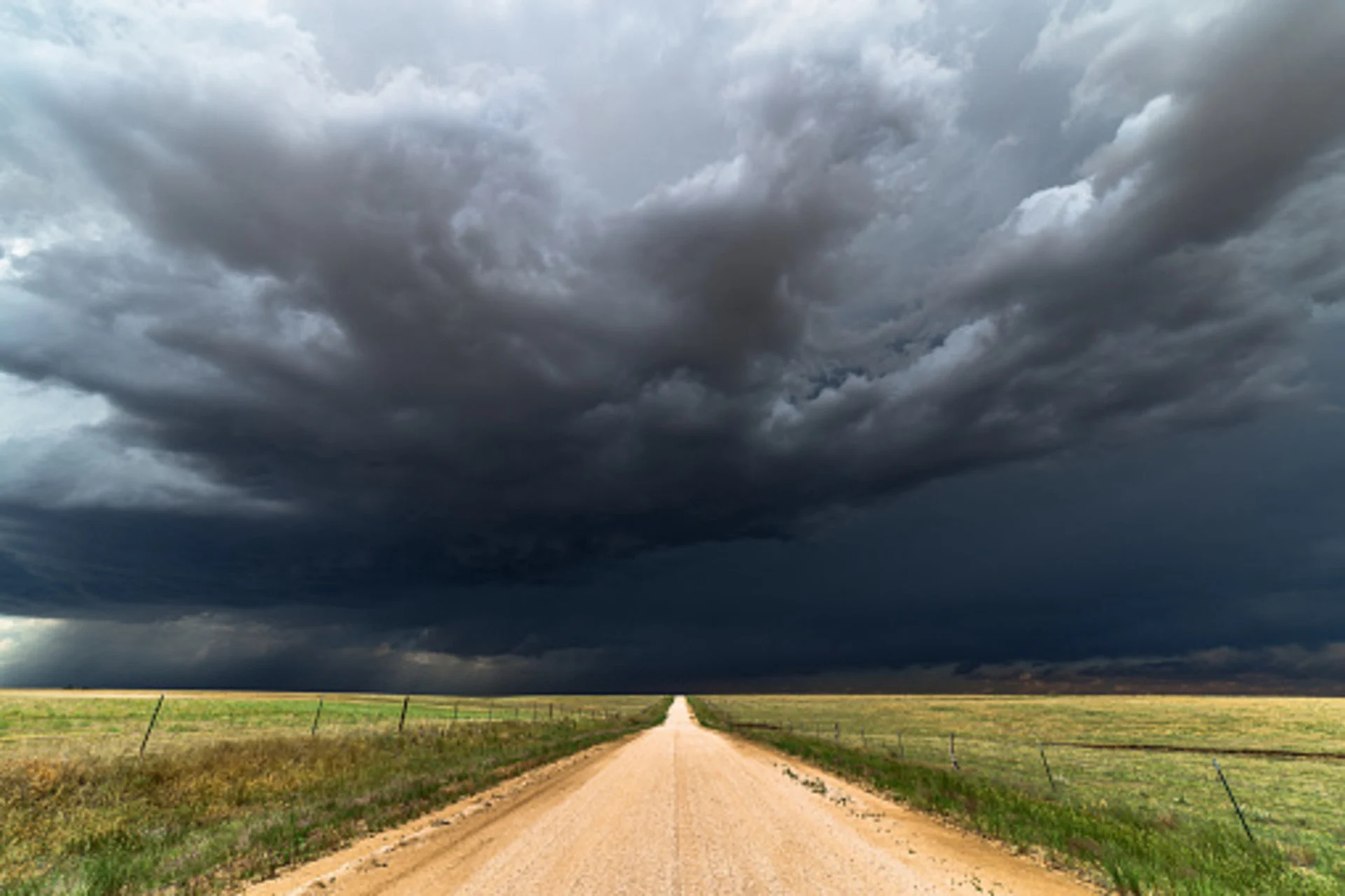
Severe thunderstorms are running a race with no winners this week as day after day of hazardous conditions pop up across the Prairies
The marathon run of severe weather continues on the Prairies Thursday and into Friday as the region enters its fourth consecutive day of lively weather conditions this week.
Manitoba took the brunt of the active weather on Wednesday as severe thunderstorms surged through the area - this time, Alberta will be the focus of the rough weather.
DON'T MISS: Sunscreen or umbrellas: Flexible plans needed this Canada Day long weekend
Thursday
Areas: Eastern British Columbia, central and northern Alberta
Timing: Afternoon and evening.
Weather: Thursday features a funnel cloud and landspout tornado risk in Alberta as a trough triggers thunderstorms in central and northern regions.

The atmosphere will grow a little more unstable over this region, with ample fuel that could allow thunderstorms to produce large hail and heavy rainfall. Some of the storms could develop rotation, especially north and west of Edmonton, including the Slave Lake area.
Farther east, we’ll see a lingering potential for severe thunderstorms in far southeastern Manitoba and northwestern Ontario.
Pay close attention to watches and warnings if you’re on the Prairies on Thursday, and have a plan in place to get to sturdy shelter if threatening weather approaches your location.
Friday
Areas: Alberta, southern Saskatchewan, and northern Canada
Timing: Afternoon and evening
Weather: Friday’s severe weather potential is kicked up a notch with strong upper-level wind support over the eastern Rockies. Coupled with thunderstorm energy along the foothills, surrounding Edmonton and to the north, severe storms may be strong enough to deliver large hail and strong winds.

For regions across northern Saskatchewan, Manitoba, southern Nunavut, and southeastern regions of the Northwestern Territories, we are monitoring a risk for severe storms as the centre of the low pushes into this region, fuelled by temperatures into the high 20s/low 30s—warm enough to prompt a heat warning by Environment and Climate Change Canada (ECCC). Be sure to check back with us as we lead up to the event for further details.

Thumbnail courtesy of Getty Images.
Keep checking back to The Weather Network for more forecast information and updates for your weather on the Prairies.