Potent storm promising heavy snow and rain looms over the Prairies
Wild weather changes are typical of April, and this week the Prairies will see a sudden drop in temperature and a spring snowstorm push in. Manitoba is at heightened risk of flooding as heavy rainfall sweeps across the province
In typical Prairie fashion, temperatures are expected to plummet this week, ushering in a period of heavy snowfall.
For parts of the region, it will be a formidable, multi-day snowfall event –– possibly ending with more than 20 cm of snowfall for some locales. However, there remains some uncertainty on the exact totals and where the heaviest bands will be.
MUST SEE: No April fool: Almost every province could see snow next week
For southern Manitoba, heavy rainfall is what is coming. With melting snow due to mild daytime highs and the rain, a provincial flood warning has been issued for some areas.
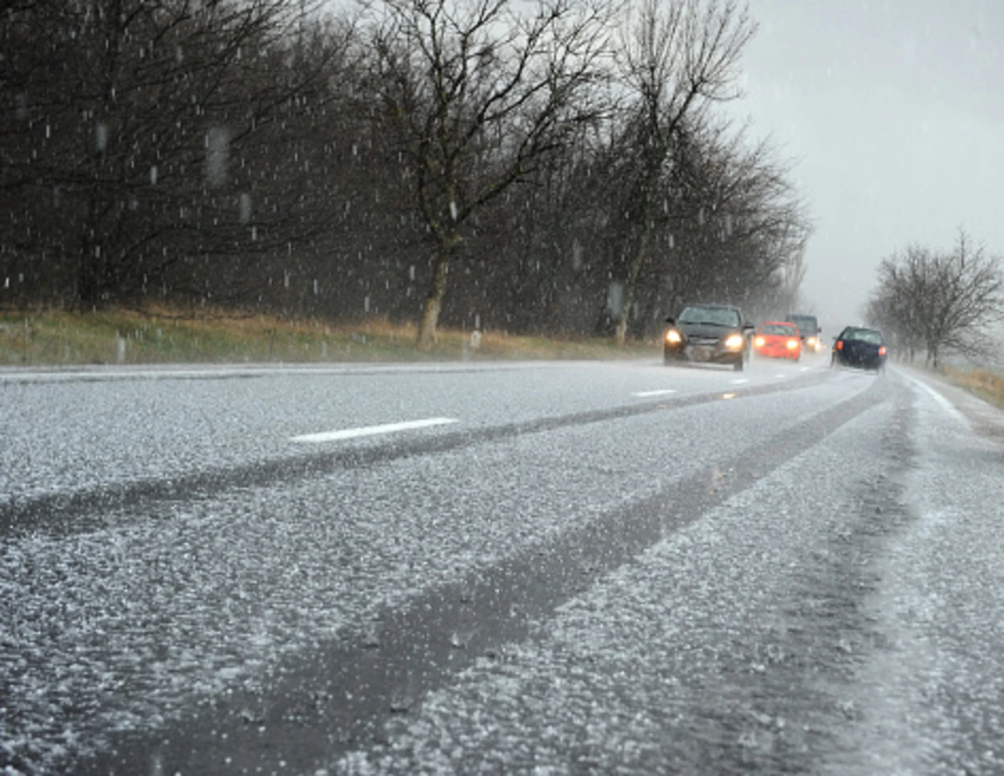
Needless to say, whether rain or snow, travel will be difficult during the event, so consider modifying plans or postponing them until conditions improve.
Monday to Tuesday: Winter weather returns in typical Alberta fashion
A weak trough is forecast to develop across southern Alberta on Monday as an upper trough moves across the province and B.C. Precipitation will then gradually sink south across the province, with the tendency to transition over to wet snow due to the colder air in place.

Precipitation will increase across southern Alberta through Monday night, with periods of snowfall continuing through Tuesday before the system slides into Saskatchewan and Manitoba on Wednesday.
Bursts of wet snow will come to fruition around the city of Calgary, Alta., on Tuesday, made worse by gusty, northwesterly winds up to 60 km/h. Expect poor travel conditions during the heavy snowfall, along with increased commute times.
Tuesday to Wednesday: Snow slides east into Saskatchewan and Manitoba
As the trough continues to move east, heavy, wet snow will push across central and northern Saskatchewan, and Manitoba. As well, with the Assiniboine River under a flood warning, we’re watching for a heavy rainfall event across southern Manitoba Tuesday evening and overnight.

On Wednesday, the rain-snow line will slump south across Manitoba as northwesterly winds drop temperatures on the backside of the low.
For western Manitoba, the heaviest rainfall is forecast to begin late Tuesday, with wraparound snow occurring across central Saskatchewan during that time.
However, there is still a lot of uncertainty as to where the band of heaviest snow will be. There is a signal for more than 20 cm of snowfall across northeast Saskatchewan and central Manitoba. There is also high uncertainty on the potential accumulation in the vicinity of Calgary.

Forecasters will be watching for the transition to wet snow for Saskatoon, Regina and Yorkton, Sask., with subtle changes in temperature and the track of the system influencing totals.
While the rainfall totals aren't significant for southern Manitoba, with 10-20 mm anticipated, the snowmelt expected will be an issue for a raised chance of flooding.
Along with the rain and snow will be the winds. Maximum wind gusts are forecast to be near 60 km/h across all three Prairie provinces. Travel disruptions can be expected, especially northeast of Prince Albert and across the Thompson region of Manitoba.
LEARN MORE: How the tropics help produce big springtime snows on the Prairies
Bursts of snowfall will ongoing across Manitoba into Thursday morning.

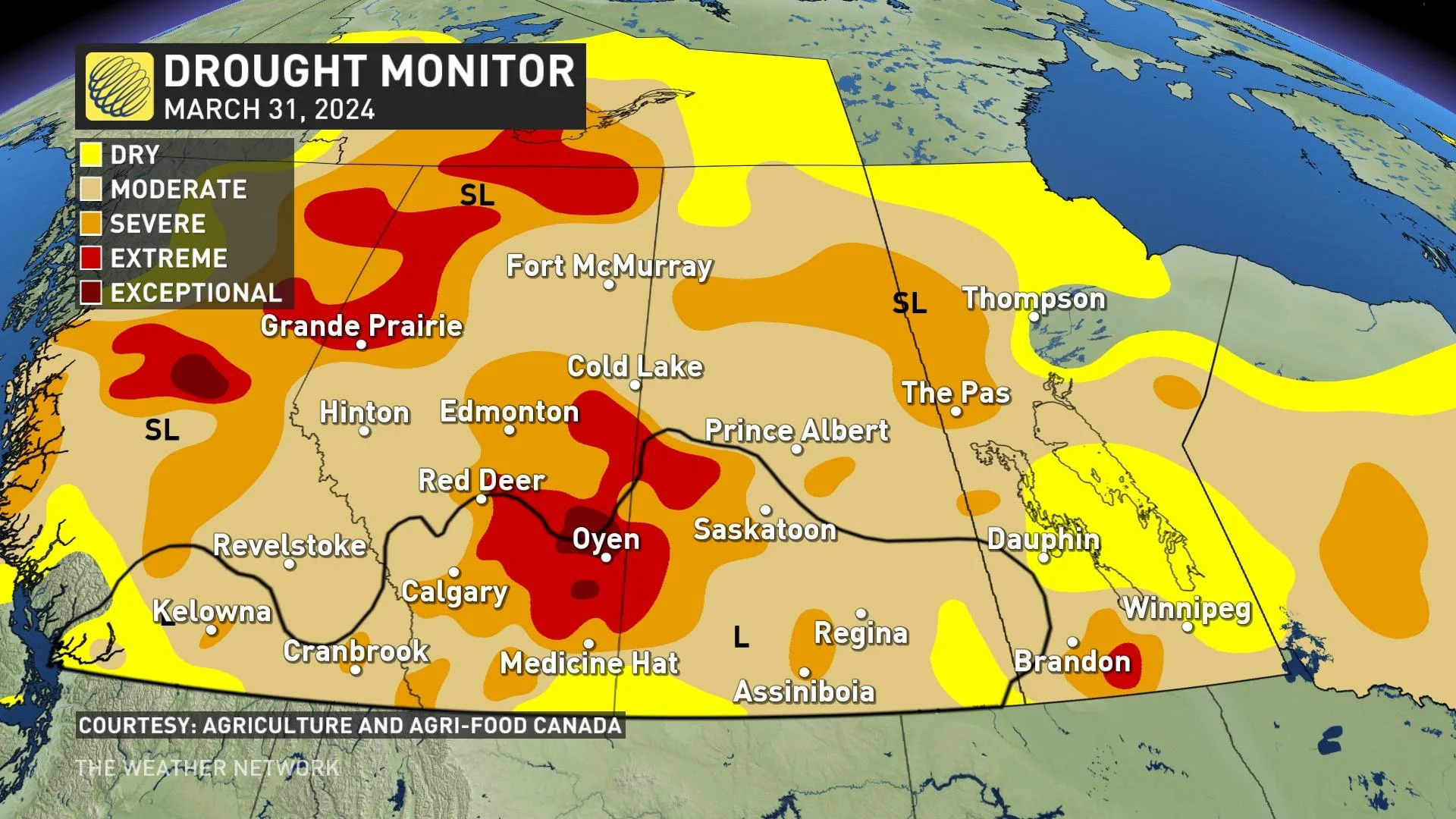
While the snow and rainfall won't be good for driving or the flood risk in Manitoba, the precipitation is sorely needed in a region long plagued by drought conditions.
We’ve seen several upslope events across southern Alberta, with about 25 mm of precipitation recorded around Calgary in April.
It’s a good sign, but it has to continue in order to chip away at the long-term moisture deficits. We're keeping an eye on the June monsoon for Alberta for the most significant and consequential summer rains.
Stay with The Weather Network for all the latest on this snowstorm across the Prairies.
