Stark divide separates Prairies between highs in the 20s or wet snow

A battle between the seasons sets up across the Prairies this week.
It’s been a long wait through a long winter, but a burst of warmth will finally arrive for much of the Prairies this week.
A ridge of high pressure and strong Pacific flow will team up to bring warm temperatures and sunny skies to much of the Prairies in the coming days.
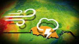
Not everyone will bask in the comfort, unfortunately, as this setup will create a sharp north-south divide through the region that allows parts of Alberta to soar into the 20s while communities a short drive away contend with chilly temperatures and wet snow.
MUST SEE: This week’s abundant sunshine will pack a severe sunburn risk

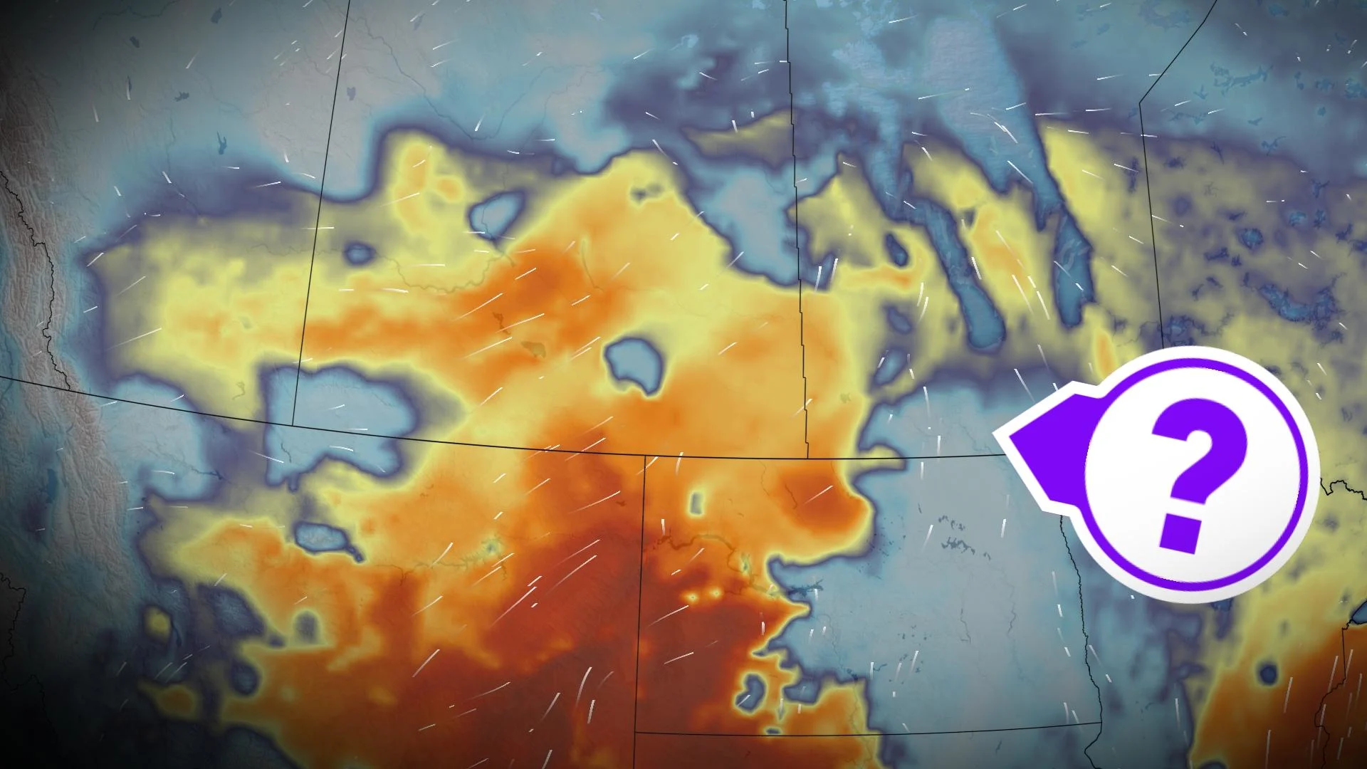
Temperatures will soar well above seasonal across parts of Alberta and Saskatchewan on Monday and Tuesday as the ridge and Pacific flow funnel comfortable conditions into the region.
Many communities across southern portions of the two provinces are on track to see their first 20°C high temperatures of the year. Most major city centres in the region haven’t hit the 20-degree mark since last October.

Forecasters expect Medicine Hat, Alberta, to hit an even 20°C on Monday afternoon, while Swift Current, Saskatchewan, could reach a balmy 22°C by Tuesday.
Southern Manitoba will miss out on the lavish warmth bathing the region, as low clouds and snowpack will cap daytime highs in the mid-teens. However, after remaining below freezing for the entire month of March—a feat last seen in 1899—Winnipeg will surely welcome a high temperature of 16°C on Wednesday.

It’s a dramatically different story just a little farther north, though, with temperatures in the lower single digits and a chance for snow arriving in central Alberta and Saskatchewan by Tuesday.
DON’T MISS: Canada, you’re a year away from a once-in-a-lifetime solar eclipse
The north side of a low-pressure system is the culprit behind the colder temperatures and risk for frozen precipitation across Edmonton and Red Deer.
Tuesday is sure to produce a strange weather map for Alberta, with comfortable 20-degree readings in the south sharply contrasting with wet snow and a high struggling to hit 3°C along much of the Yellowhead.

Stay tuned to The Weather Network for the latest forecast updates on the Prairies.