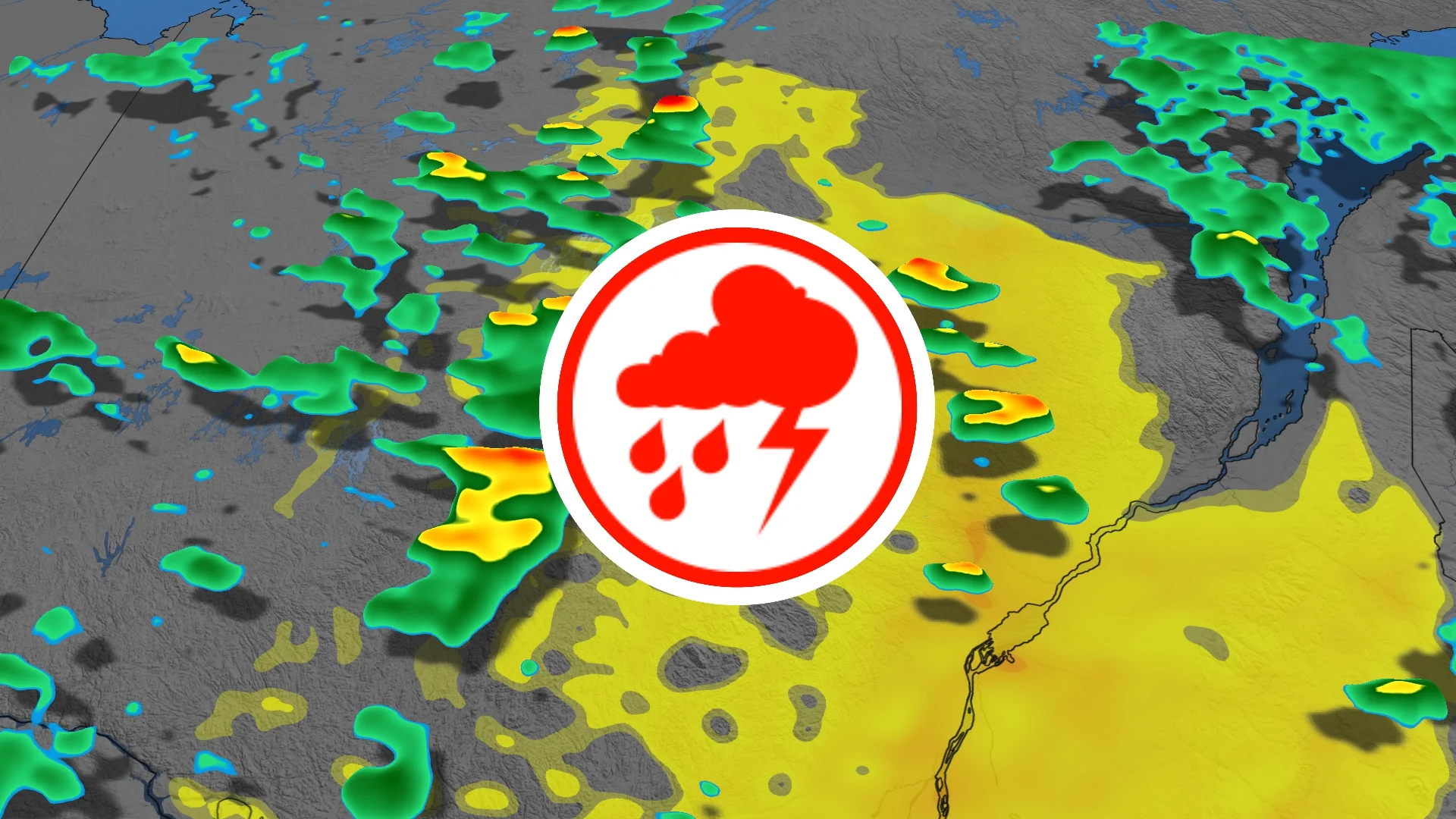
Sunday severe weather risk bubbles up in southern Quebec

A cold front will cut into an unstable air mass over southern Quebec and produce scattered, strong to severe thunderstorms Sunday afternoon and evening.
Folks across southern Quebec will contend with a risk of severe storms on Sunday as a cold front slices through an unstable air mass.
Visit our Complete Guide to Fall 2026 for an in depth look at the Fall Forecast, tips to plan for it and much more!
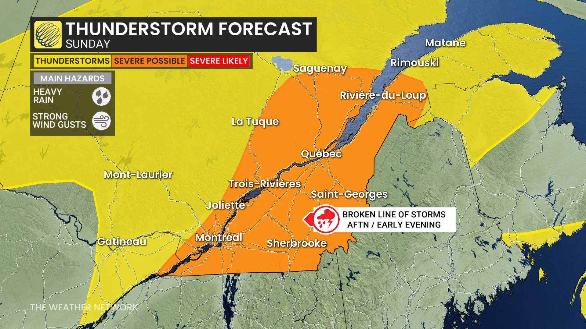
The main hazards will be strong wind gusts and locally heavy rainfall.
Be sure to stay alert to the changing conditions, and check for any weather warnings in your area.
Severe storm risk on Sunday
Spotty thunderstorms are expected to develop along the cold front from Kingston, Ont., to Saguenay, Que., just after midday.
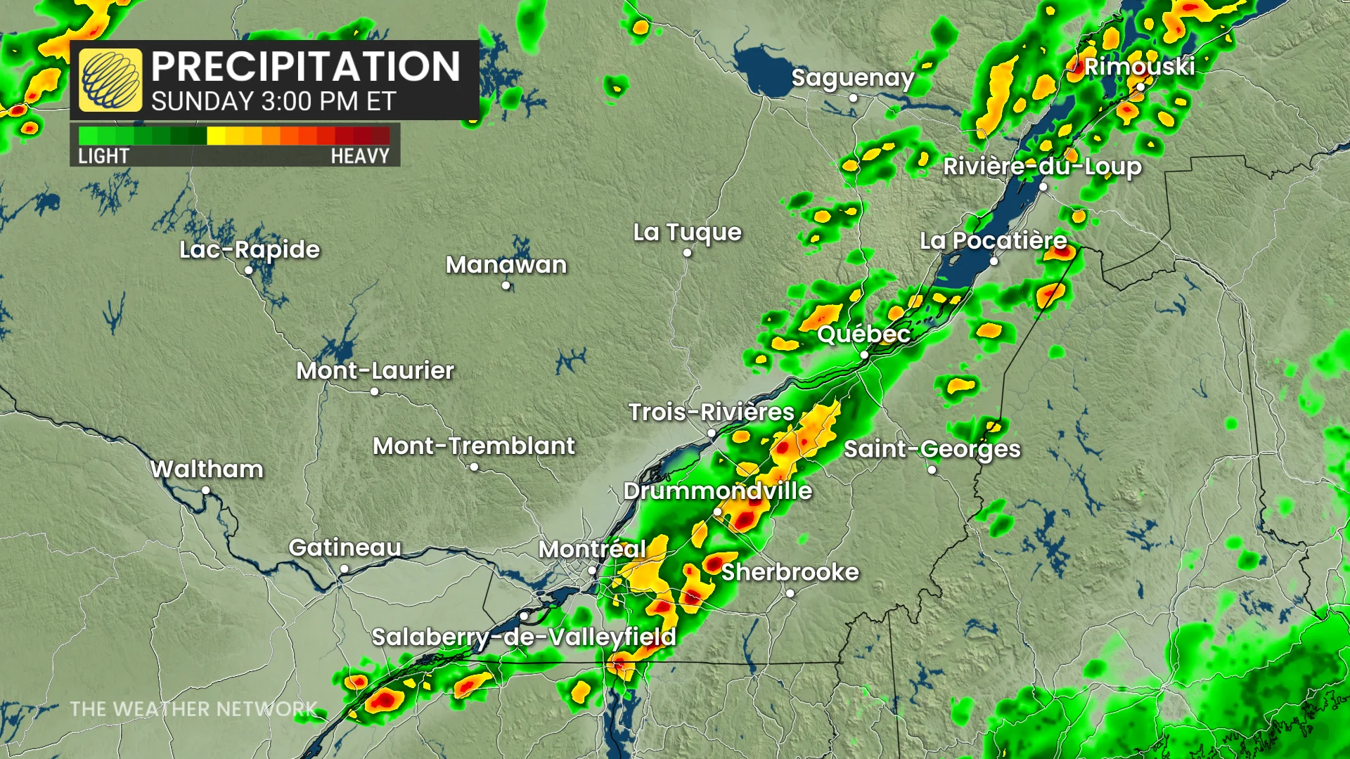
The cold front will produce scattered thunderstorm activity across the region through the afternoon and evening as it advances east.
A broken line of storms may organize along the front, expected to produce heavy rainfall and strong wind gusts.
Storm coverage is expected to be highest along the borders of New York and Vermont.
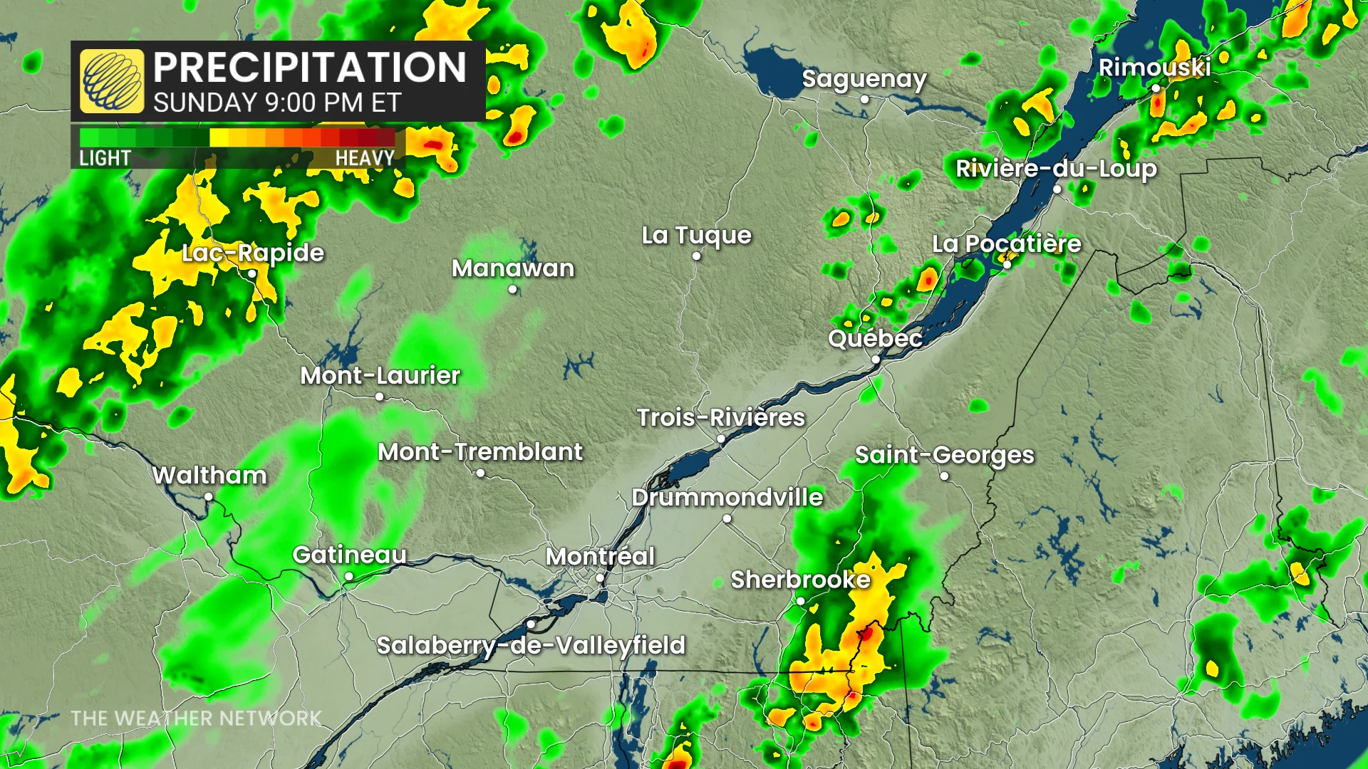
Thunderstorm coverage and intensity will weaken after the dinner hour, but showers are expected to continue overnight.
Primary concerns with any severe storm development are locally heavy rainfall and strong wind gusts.
Beyond, a couple days of warmer weather are possible this week (low- to mid-20s) but we will also see a couple rounds of showers with potential thunderstorms.
Several days of cooler weather are expected roughly for next weekend, and especially into the following week for the official start to autumn. However, temperatures will just be a few degree cooler than seasonal. Temperatures should trend warmer again during the final week of September.
Stay with The Weather Network for all the latest on conditions across Quebec.