Strong winds, heavy snow brings high-elevation travel danger to B.C.
Strong winds and heavy alpine snow will make for dangerous conditions along B.C.'s highway passes late Wednesday and into Thursday.
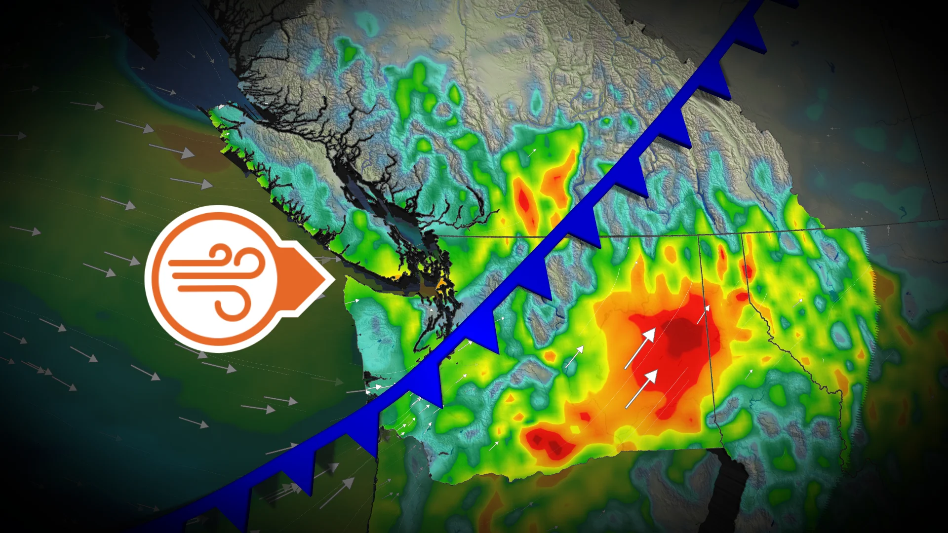
After a snowy Tuesday across B.C.'s South Coast, another potent low-pressure system will make its way into the province late Wednesday, bringing strong winds and heavy alpine snow that will create extremely dangerous travel conditions.
Travellers planning to use the highway passes should consider postponing as we could also see blizzard conditions develop through Thursday. Be sure to also check highway conditions before heading out if you must.
RELATED: Five avalanche deaths in B.C. this season. Will we see more in March?
Winter storm watches have also been issued for several passes including:
Coquihalla Highway - Hope to Merritt
Highway 3 - Hope to Princeton
Okanagan Connector - Merritt to Kelowna
"Weather in the mountains can change suddenly resulting in hazardous driving conditions," Environment and Climate Change Canada warns in the watches.
Windstorm brings outage risk overnight Wednesday
A low-pressure system will cross over Vancouver Island and lift into the Interior on Wednesday night. Strong winds aloft could mix down to the surface, producing damaging gusts over 90 km/h across extreme southern Vancouver Island and the Fraser Valley.
The strong winds will bring an increased risk of power outages into Thursday morning.

Alpine snow brings extreme danger to mountain passes starting Wednesday night
A heap of heavy snow is forecast across B.C.'s mountains through Thursday, including the Coquihalla and Allison Pass.
The heavy snow will move in late Wednesday night and persist into Thursday morning. Folks should avoid all non-essential travel during this time, as we could see whiteouts and blizzard conditions develop east of the Lower Mainland due to the high winds that will also be present.

The Coquihalla could see 20-40 cm of snow through Thursday while the Allison Pass could see 20-30. The rest of the mountain passes through the Interior could see a widespread 10-20 cm of snow.
DON'T MISS: How to pick the perfect ski day (meteorologist-approved tips)
The snow is forecast to finally ease across higher terrains by late Friday.

Could we see low-elevation snow?
Tuesday saw low-elevation snow across Vancouver Island and the Lower Mainland, with some sneaky flakes even making it into metro Vancouver.
We may see conditions set up once again for another round of low-elevation snow on Thursday evening and through the overnight as a weak trough slides into Washington, just south of B.C. From this setup, we could see steady precipitation and wet snow as low as 100 metres in elevation.
Regions inland, including the Fraser Valley, can expect to see some localized snowfall accumulation. The same goes for areas at 100-200 metres above sea level across southern Vancouver Island.

Stay tuned to The Weather Network for the latest forecast updates for B.C.