
Strong storm risk persists on Prairies into the new workweek

Keep an eye to the sky on Labour Day and into the day Tuesday
Widespread storms rolled across parts of the Prairies on Sunday as an active pattern brought instability toward cities like Regina and Winnipeg.
The threat for storms will continue into Monday and Tuesday, with severe storms possible across many of the same areas that saw rough weather this weekend.
Keep an eye on the radar and listen for watches and warnings if you have outdoor plans for the holiday on Monday.
DON’T MISS: Staying safe from flash floods, a serious and deadly hazard
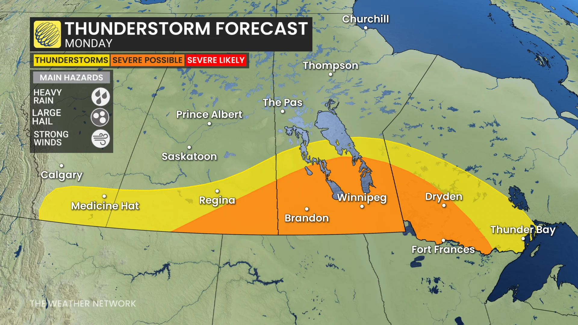
Another round of showers and storms will build on Monday as a low-pressure system moves in from the south. Similar to Sunday, these storms will develop in multiple clusters, rounding out the evening in northwestern Ontario.
Any of Monday’s severe thunderstorms may produce heavy rainfall, large hail, and strong wind gusts.
This low will help to deliver higher rainfall totals as it grows more organized, lingering across the region through Tuesday.
Rainfall totals will vary, but Saskatchewan and southern Manitoba appear to be the target for some of the heaviest rainfall.
Stay with The Weather Network for all the latest on conditions across the Prairies.