
Tornado watch issued in Saskatchewan amid severe storm threat

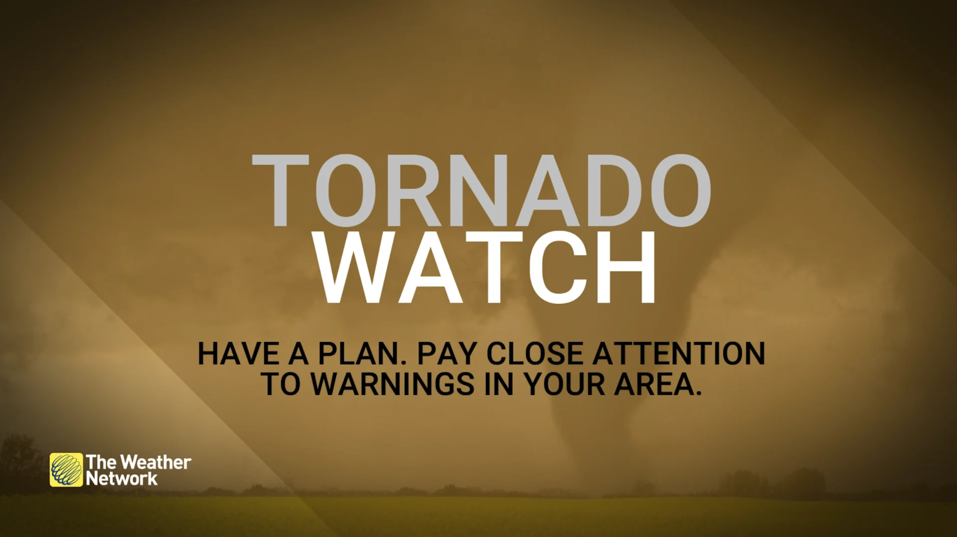
A tornado watch is in effect for parts of Saskatchewan. Another round of rain and storms will sweep across the Prairies Monday
4:05 p.m. CST: Conditions are favourable for the development of severe thunderstorms which may produce a tornado.
A line of showers has developed in southeast Saskatchewan this afternoon and is moving to the northeast. It is along this line where a tornado may form.
Significant damage or destruction to infrastructure, homes and the natural environment is possible.
Current tornado watches
Full weather alerts in Saskatchewan can be found here.
Read on for the full forecast details.
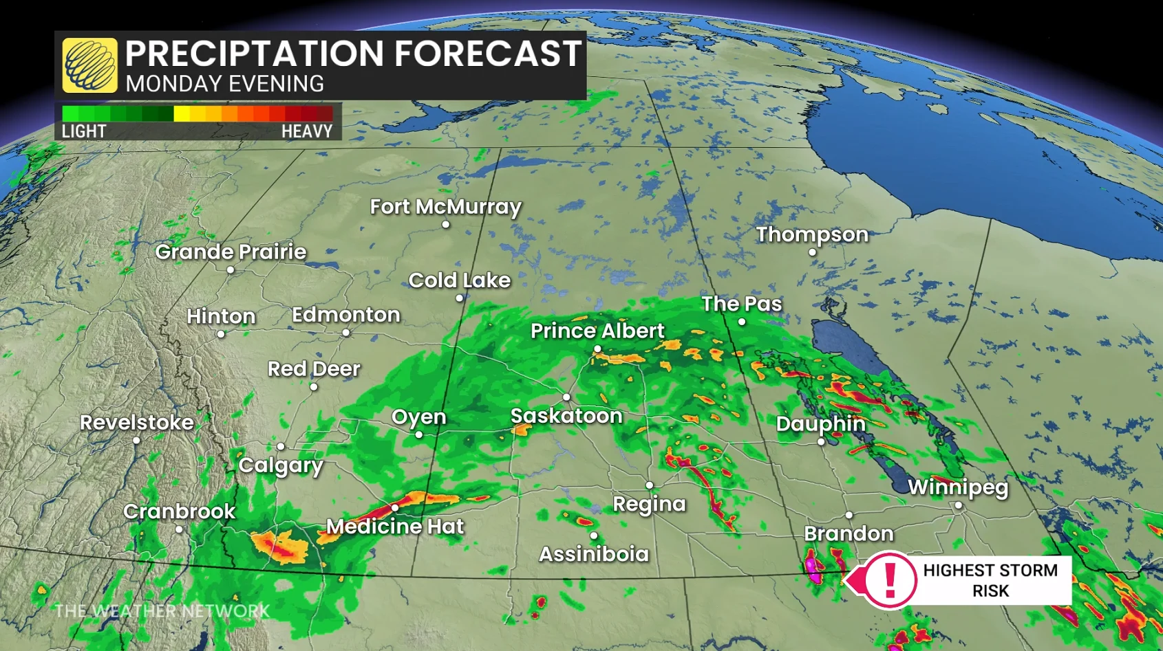
Another round of rain and thunderstorms is expected to hit the southern Prairies on Monday, as an increasingly organized low-pressure system moves north from the south.
Showers and storms will form in multiple clusters throughout the day, moving northeast to northwestern Ontario by Monday evening.
Some storms could become severe, with damaging hail and heavy rainfall being the main threats. Rainfall totals will vary greatly, with Saskatchewan and western Manitoba receiving the heaviest amounts.
CHECK OUT: How the weather could be influencing your music taste
Wet weather lingers into Tuesday
The system will linger in parts of the Prairies until Tuesday before gradually clearing.
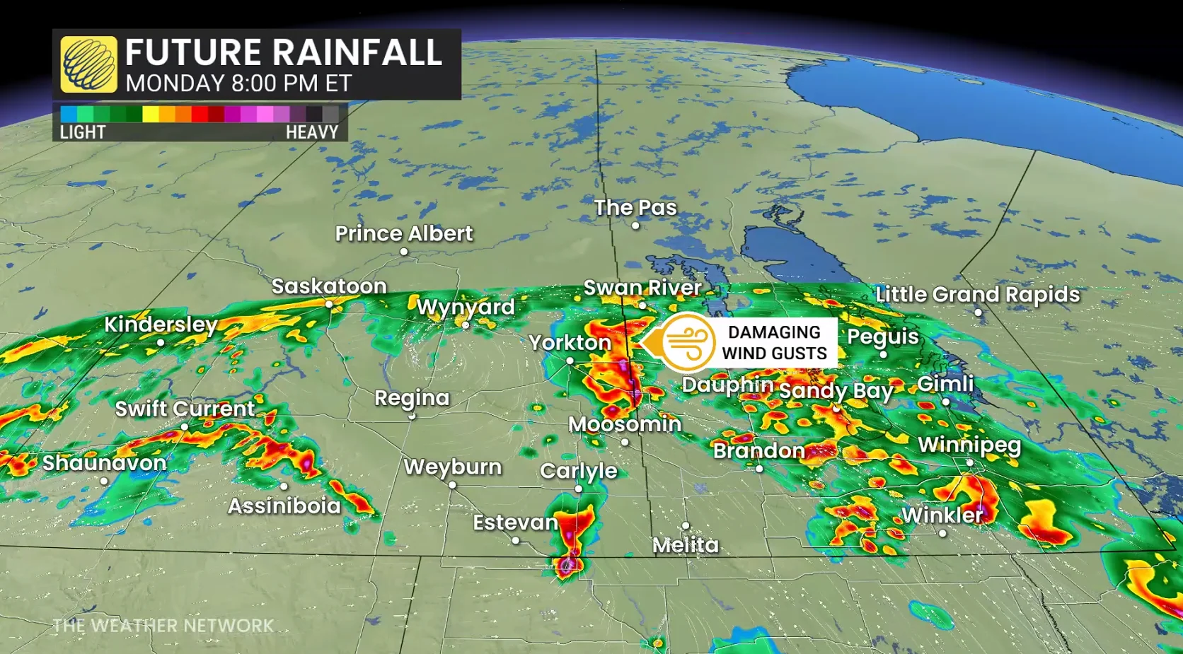
Heavy rains could cause localized flooding and slow the fall harvest, while areas downstream in Alberta should keep an eye out for rising water levels as rain falls across the Rockies and Foothills, which serve as a source for several major rivers.
The wet pattern may also bring hail to crops and buildings as storms pass through.
Stay with The Weather Network for the latest updates across the Prairies