Scary cloud seen in Canada's skies not as rare as you think
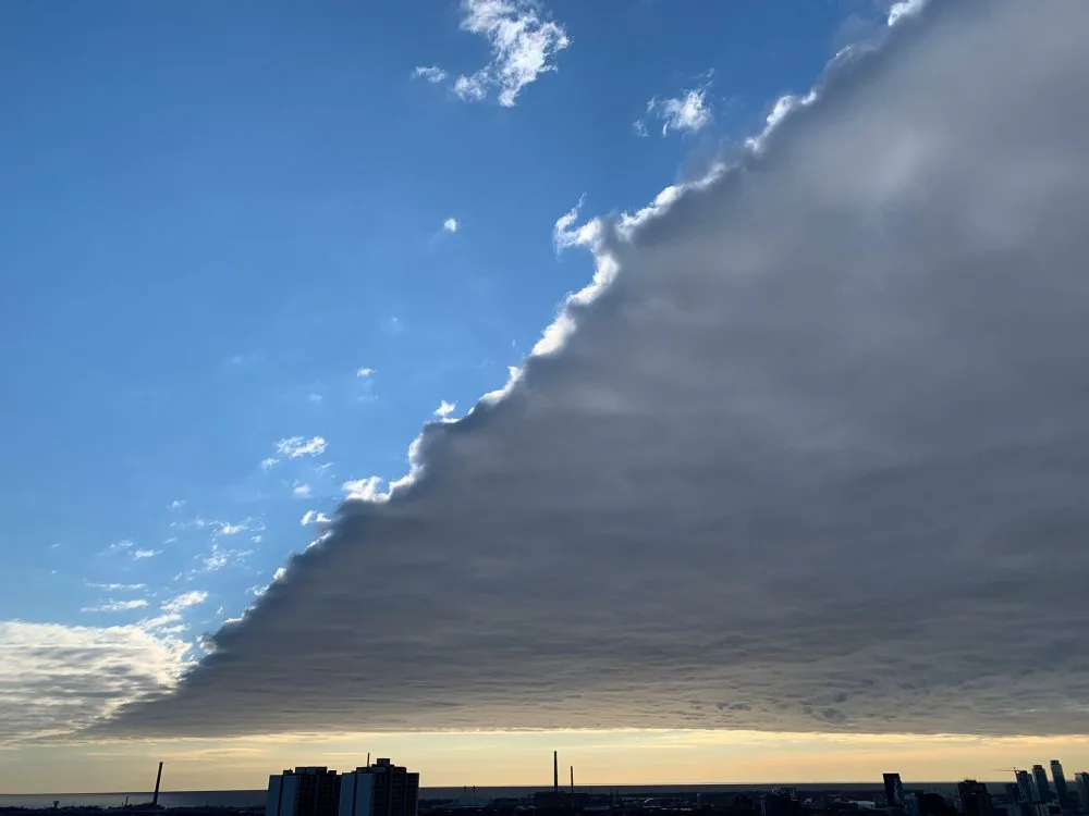
If you live in southern Ontario, you may have spotted an ominous-looking cloud rolling through the skies on Thursday, splitting the sky into one luminous half and one dark half.
This is a low-level cloud, called a stratus cloud, which are actually very common, but what’s more unique here is how sharp the leading edge is.
Stratus clouds form in calm, stable conditions, and often when warmer air blows over a colder surface. On Wednesday night, this cloud formed under clear skies in Indiana and Ohio and then moved northeast over Ontario.
The milder air the greater Toronto area saw Thursday may have helped play a role in making this clouds structure so well defined, and so impressive for skywatchers.
Watch the video above from Nicole Karkic for a full explanation of this impressive phenomenon.
With files from Nicole Karkic


