Stormy pattern set to buffet B.C. with heavy rain, snow, winds

Get ready for an active pattern to set up once again along the West Coast
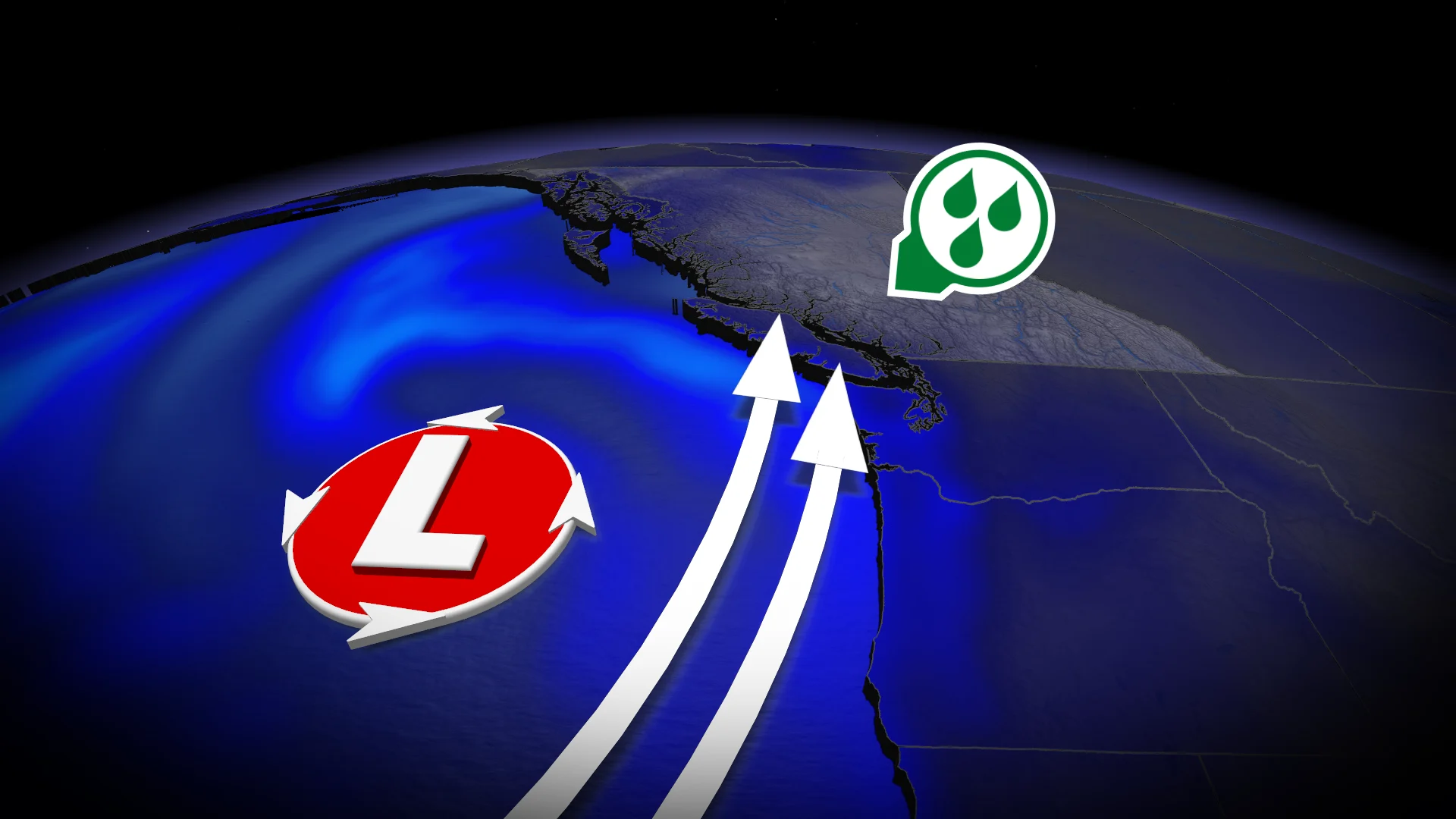
A brief break along the West Coast will prove short-lived as an active pattern reloads over the northeastern Pacific Ocean.
We’ll see a series of low-pressure systems channel ample moisture into the British Columbia coastline, bringing heavy rainfall, strong winds, and plenty of alpine snowfall.
Keep in mind that king tides are expected this week. Coastal areas should closely monitor water levels and the potential for rough surf as these systems roll ashore.
DON’T MISS: Impacts possible as king tides approach in B.C. next week
Active pattern lasts all week
Each wave of moisture aiming for B.C. this week will rank an AR2-AR3, meaning generally beneficial precipitation for the affected areas.
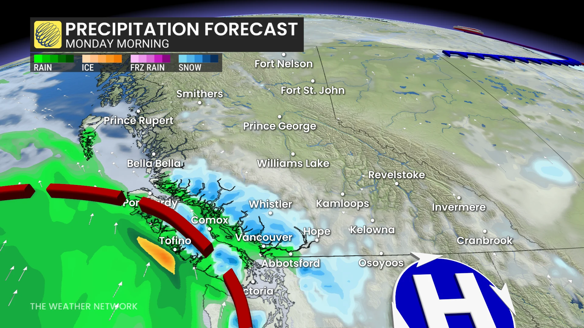
The first storm system will spread precipitation over Vancouver Island and the Lower Mainland beginning overnight Sunday and into the pre-dawn hours Monday.
Freezing levels around 1000 metres will help this system generate significant alpine snows. While this is a welcome sight for ski areas, the snow will prove hazardous for highway travel. Heavy snow will spread well into the B.C. Interior by the middle of the week, while freezing levels will rise toward 2000 metres by the end of the week for coastal areas.
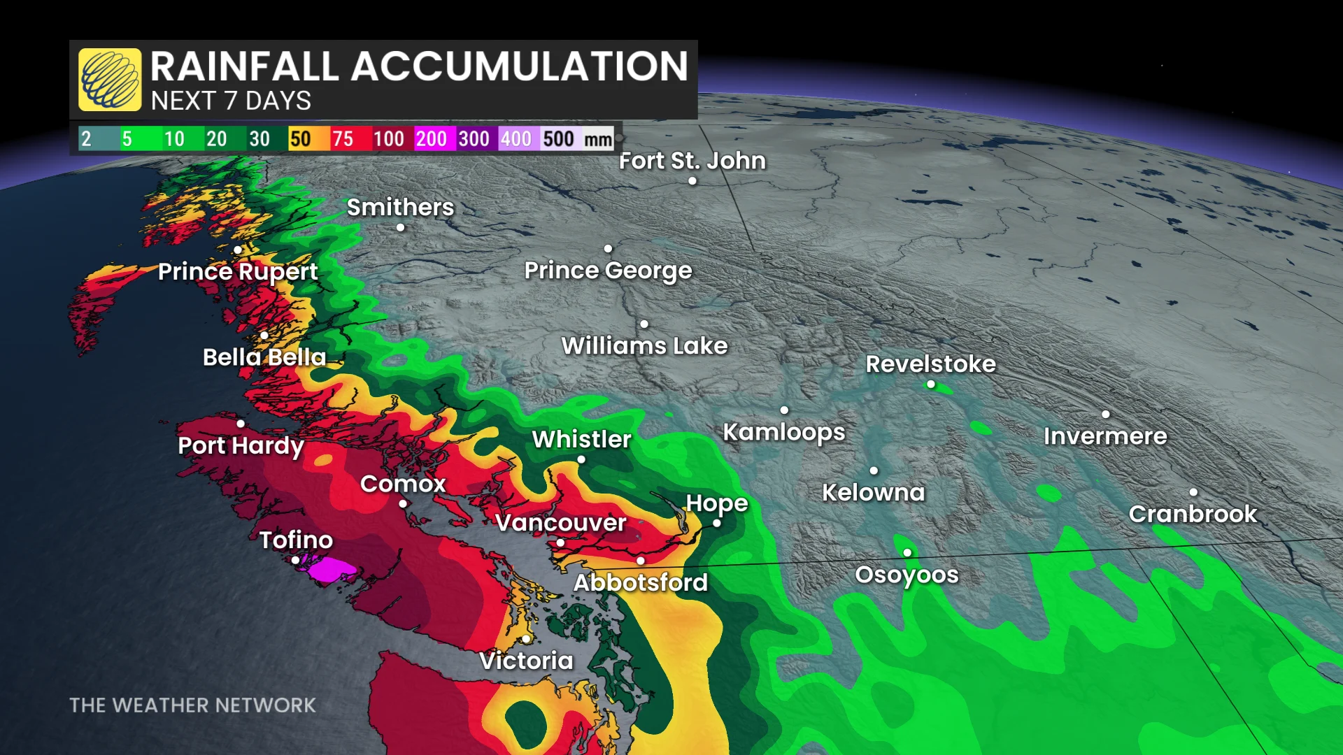
Moderate to heavy precipitation will continue Monday morning, accompanied by strong winds along coastal areas of Vancouver Island and toward the North Coast. Gusts of 80+ km/h are likely for exposed coastal areas.
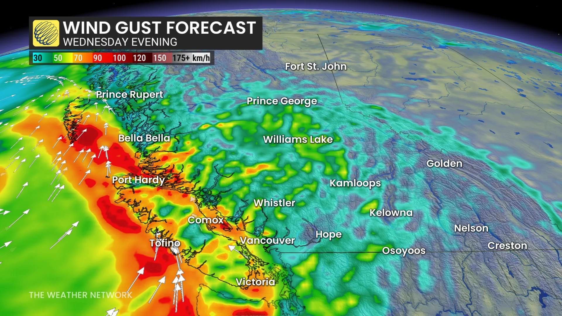
Precipitation will ease through the evening and overnight hours Monday before picking up in intensity with the next surge of moisture arriving Tuesday morning. We’ll see strong wind gusts again Wednesday, which will also extend into the Strait of Georgia.
A third round of precipitation will push into the coast Wednesday evening and continue through Thursday morning. Looking ahead, forecasters will monitor the potential for yet another storm system by the end of the week. This setup could produce even heavier precipitation.