
Storm risk, muggy heat persists for some southern Ontarians Wednesday
While the muggy heat relents for many southern Ontarians, it will persist in southwestern Ontario along with a renewed storm risk
While much of Tuesday was quiet across southern Ontario, severe storms did fire up in parts of the region in the late afternoon and evening as expected, prompting warnings to be issued.
Tuesday evening saw a cluster of storms originally come ashore from Lake Huron, weakening and moving across Lake Erie and the Niagara region.
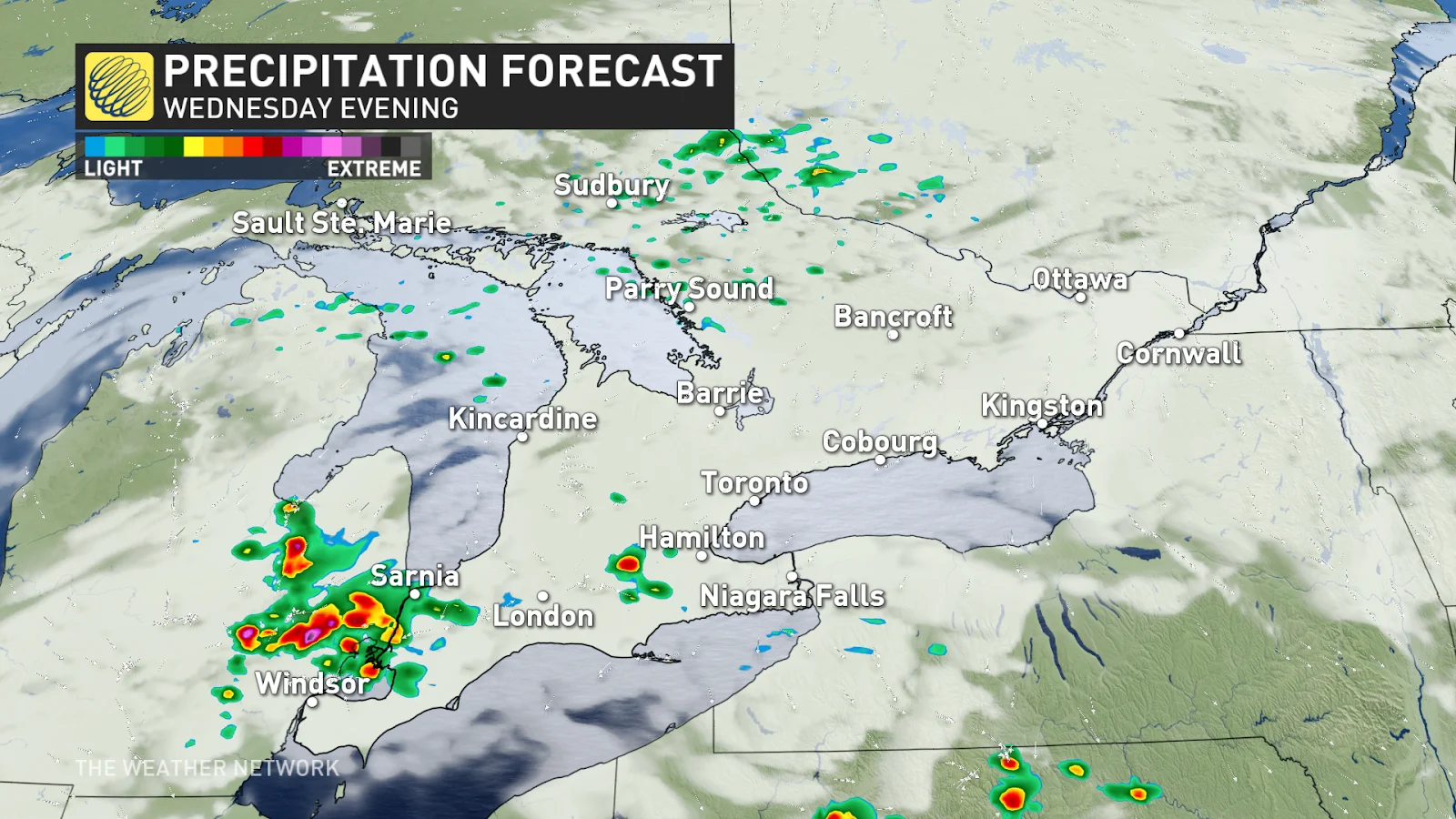
Although storms diminished early Wednesday morning, the opportunity for stormy weather will reappear in southwestern Ontario in the evening.
DON'T MISS: How the atmosphere bakes a perfect thunderstorm
It is important to keep an eye on the radar in your area, and stay alert for additional watches and warnings that may be issued.
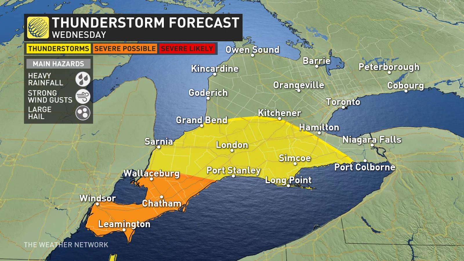
Evening storm risk returns to southwestern Ontario Wednesday
A much more stable environment is expected on Wednesday with the passage of cold front across the Greater Toronto Area and eastern Ontario bringing relief from Tuesday's hot and humid air. The exception to this, however, will be the thunderstorm risk forecast across the extreme southwest tip of the province.

A frontal boundary running west to east will likely trigger thunderstorm activity, but where that boundary sets up and the exact timing of the storm development is uncertain.
Currently, forecast models are suggesting the best chance for storm activity will be near Windsor and Chatham, but it is possible we'll see the storms remain stateside.
Strong winds are likely to be the primary threat if we do see this storm activity on our side of the border. Folks could also see heavy downpours and hail up to 2 cm in diameter.
Stay with The Weather Network for more forecast information and updates on your weather in Ontario.