Storm risk continues with muggy air in Ontario, but major cooldown is coming
Warm, humid conditions persist in Ontario with showers and storms before a cooldown
Ontario remains under the influence of warm and humid air through the end of the workweek, bringing a few more rounds of showers and thunderstorms. By Saturday, humidity levels will drop, and near-seasonal temperatures are expected, marking a shift to more comfortable weather.
DON'T MISS: Visit our complete guide to Summer 2026 for an in-depth look at the Summer Forecast, tips to plan for it and much more!
A cold front is forecast to arrive late Saturday night into Sunday, bringing additional rain and thunderstorms. Behind it, brisk winds and cooler temperatures will settle in. Most of next week is expected to remain below seasonal averages.
Thunderstorm threat shifts into easter Ontario Thursday
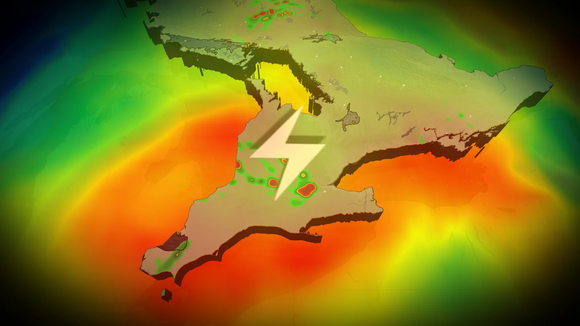
Thursday afternoon brings another day of heat and humidity, along with a risk of isolated thunderstorms, especially along a trailing trough and instability zone.
Eastern Ontario faces the highest storm potential, though activity is expected to remain scattered.
PHOTOS: Reported tornadoes in Manitoba and Saskatchewan as severe storms hit
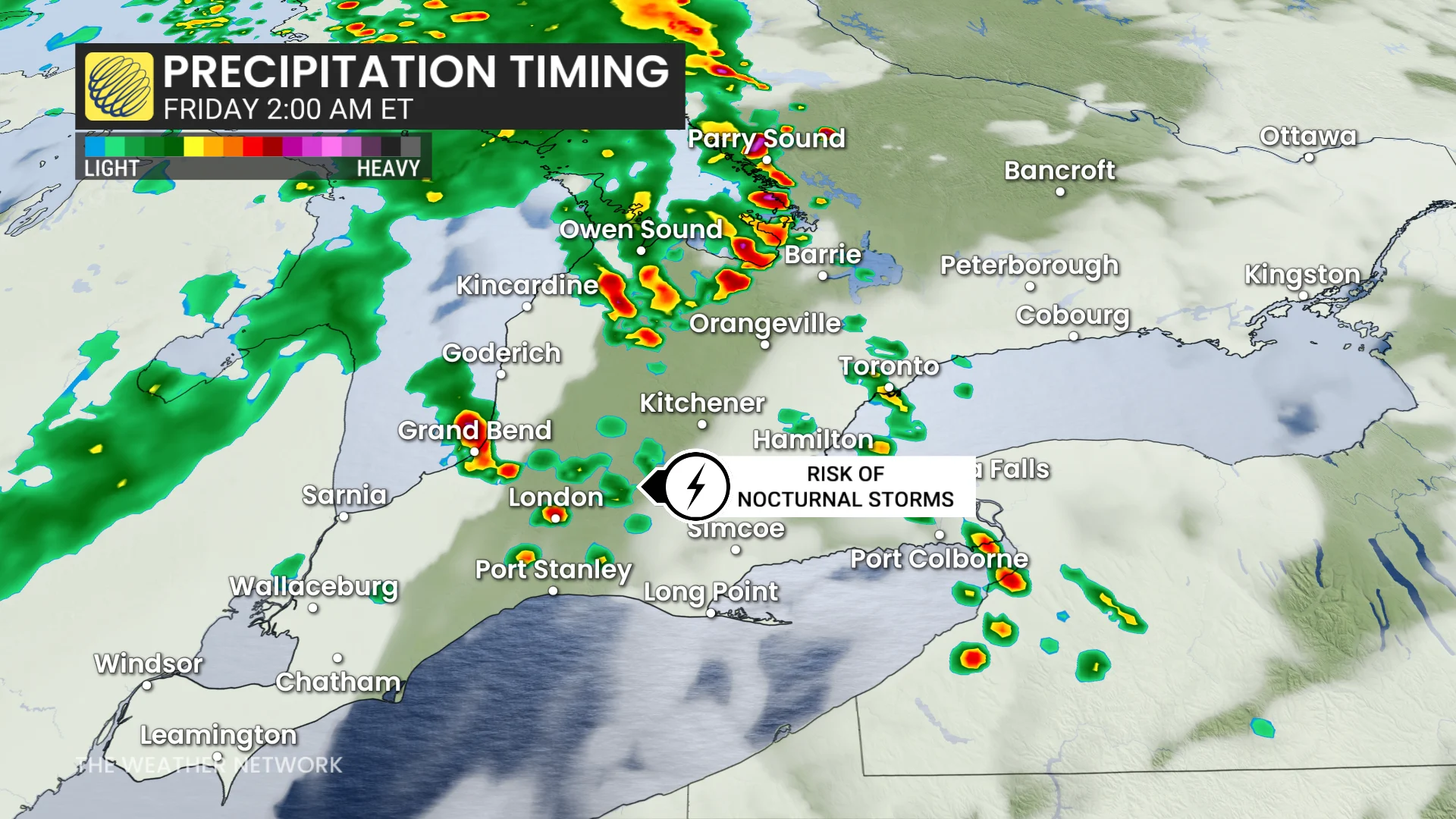
Overnight Thursday, storm complexes lifting from the U.S. Upper Great Lakes could impact parts of southern Ontario. Confidence remains low regarding storm timing and severity, but extreme southwestern Ontario carries a higher risk for pre-dawn Friday storms.
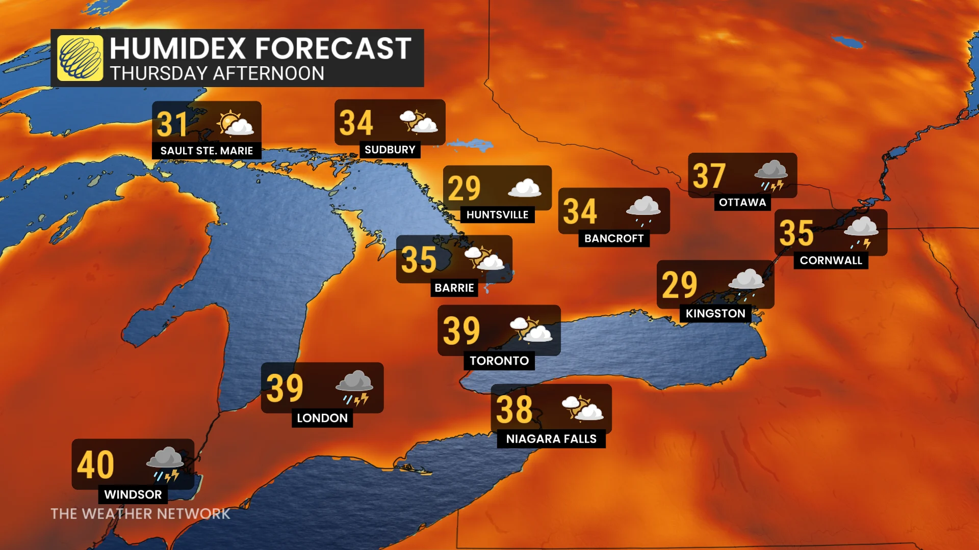
Temperatures across southwestern Ontario hover near heat warning thresholds, with major cities experiencing extreme conditions. Southern Ontario's humidity is driving humidex values into the mid to high 30s, with readings closer to the 40s in southwestern areas.
Friday brings a cold front, increasing thunderstorm risks for eastern Ontario as low pressure moves through northeastern parts of the province. Southern Ontario is expected to stay dry and clear, with the cold front sweeping out humidity for the weekend.
Significant weather pattern shift expected
After above-seasonal warmth, a significant pattern change will arrive by Sunday.
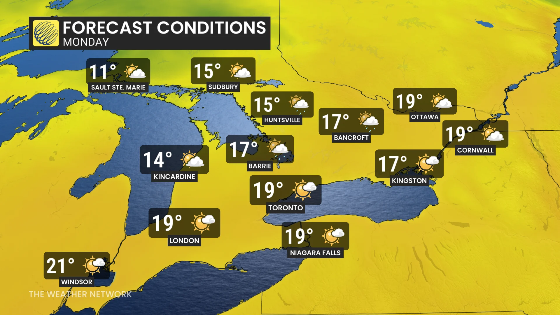
A deep trough over Ontario will drop temperatures well below seasonal values, especially across northern areas, ushering in a much cooler start to next week.
After this week, no consistent heat is in sight, and the pattern should continue to be unsettled at times into the final week of June.