Springtime snowfall continues in Alberta with up to 20 cm
A classic mid-spring snowfall on the Prairies may bring slick travel to parts of Alberta through Wednesday
A sizable springtime snowfall blanketing portions of the southern Rockies and Alberta foothills will continue through Thursday.
Banff and Canmore could see significant accumulations, a nice change after an exceptional lack of snow for much of this past winter.
The wintry weather won’t last very long, as soaring temperatures are likely to arrive by the end of the week.
DON'T MISS: Does poking holes in the snow make it melt faster? We investigate
Snow totals could exceed 20 cm over higher terrain
With high pressure to the north and low pressure to the south, strong northerly winds will develop on Wednesday, with upslope snow forecast to fill in along the foothills.
As much as 15-25 cm of snow could fall from through Thursday.
DON'T MISS: Get to know the hidden gems across Canada

Bursts of heavy snow may move into Calgary at times as well, which could bring some heavier snow totals to the city.
WATCH: Icy roads cause traffic issues as winter returns to Alberta
Drivers should brace for the changing conditions, and keep an eye on any weather warnings in your area.
Major ridge of high pressure pushes temperatures up to 20°C
Temperatures will rise heading into the weekend, reaching double-digit highs once again. These milder conditions will also continue into next week.
A strong ridge of high pressure will send temperatures soaring close to 20°C in the south by Monday.

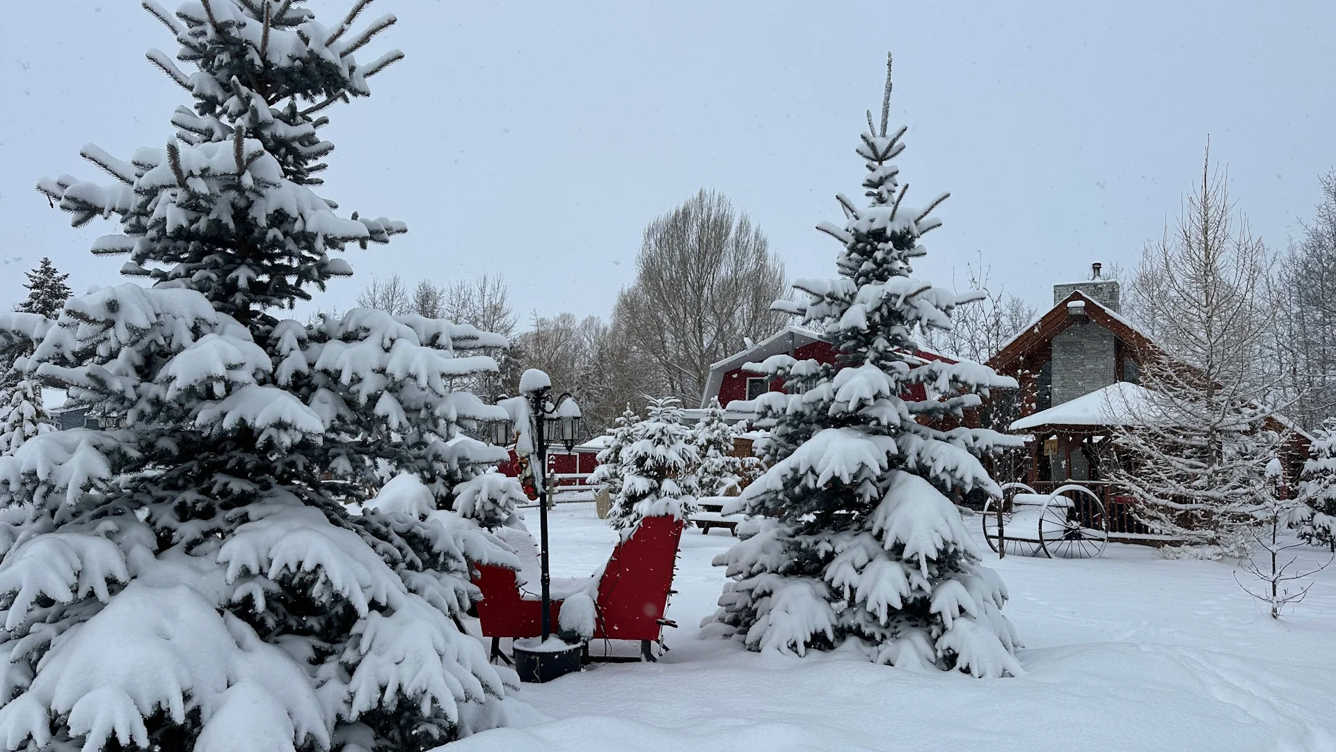
Header image submitted by Chris and Wina Reid in Parkland Beach, Alta.
Be sure to check back for the latest weather updates across Alberta.