Spring reality check for Alberta with a return to cold and snow
Spring swings play out through the weekend in Alberta, trading the sunglasses for snow brushes
If this week's warming trend seemed too good to be true, it's likely because it was. By this weekend, southern Alberta will be trading the mild air and sunshine, for more cold temperatures, and even snow, once again.
DON'T MISS: Get to know the hidden gems across Canada
Don't forget, the bulk of April’s snows are common on the western Prairies, where low-pressure systems can tap into tropical moisture from the south to produce major snowfall events. Calgary averages about 21 cm of snow during a normal month, so this week's early-summer tease certainly wasn't a freefall into the warmer season.
What goes up, must come down! Brace for quickly falling temperatures this weekend
Milder conditions will persist for most areas on Friday, but daytime temperatures will fall below seasonal this weekend, dipping below the freezing mark at night.

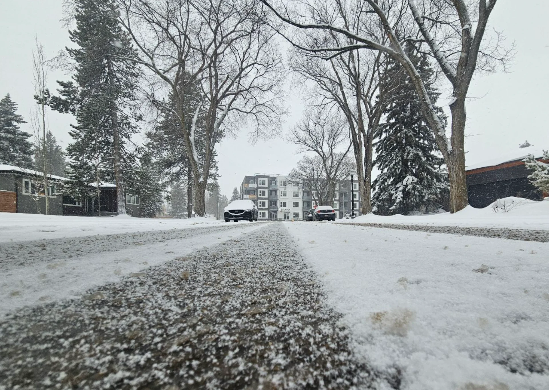
In addition to the loss of mild air, southern Alberta will see the chance for snow, some mixed precipitation, and a cold rain.
RELATED: A typical April’s weather across Canada is one wild ride
Flurries will start in the foothills early Saturday, slowly creeping east towards Calgary and the QE2 throughout the day.

Accumulating snow is anticipated along the foothills, with a lower probability of any accumulation further east. Snow totals are uncertain after this week's warmer temperatures and the ground being mild, but drivers should brace for the changing conditions and potential for slick roads.
SEE ALSO: Spring is here: When should you take your winter tires off?
While the precipitation ends by Sunday morning, northwesterly winds will continue to usher in the colder air.

Not only is April a common month for snow in southern Alberta, but May can bring as much as 12 cm to Calgary in a typical year.
Be sure to check back for the latest weather updates across the Prairies.