Rounds of rain hit B.C., but offer signs of improved air quality
An unsettled pattern continues for B.C. this week, with rain and the risk of waterspouts. A bonus: improved air quality
An active and wet pattern takes hold of the West Coast as we end September, with a dip in the jet stream allowing several moisture-laden systems to sweep through the region. Rain, thunderstorms and even the risk for waterspouts will be on the table this week.
DON'T MISS: Canada's summer defined by record wildfires, damaging floods and storms
The first of the lows over the weekend was considered to be a "bomb cyclone," stemming from the term bombogenesis, or the rapid intensification of a low-pressure system in a short period of time. Meteorologists use different metrics to measure bombogenesis, but the most widely used criteria is when a low’s minimum pressure falls 24 millibars in 24 hours.
The bomb cyclone developed through Sunday and spread gusty winds across Vancouver Island and exposed coastal sections, leaving thousands without power. While winds peaked Monday afternoon, and are set to ease even more through Tuesday, heavy rain will continue with back-to-back systems on tap.
Tuesday through Wednesday
Areas: B.C. South Coast
Timing: Through Wednesday
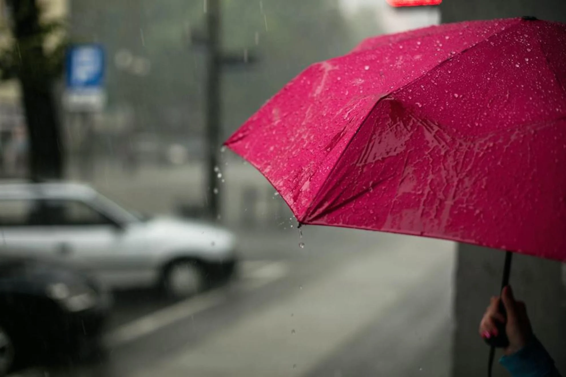
Weather: Rain soaked northern Vancouver Island Tuesday morning and will continue to head south and into the Lower Mainland throughout the day. This won't be the last of it, either. Consistent systems and an onshore flow could raise rainfall totals through the week.

Tapping into some higher Pacific moisture, seven day rainfall totals could bring 40-75 mm to parts of the Lower Mainland, and as much as 200 mm to higher elevations across the Sunshine Coast and the North Shore of Vancouver.
The Interior has remained relatively dry so far, but that will change for southern sections on Wednesday as a weak low tracks around the larger low, moving into Washington State.

There's even a risk of thunderstorms this week due to the unstable air moving off the Pacific Ocean.
These thunderstorms could produce gusty winds and brief downpours in the impacted regions. Waterspouts may also develop off the coast of Vancouver Island.

Air quality improves significantly
One bonus to the unsettled pattern is the clearing of some smoky skies.
The rain and the wind from the weekend bomb cyclone has improved air quality in parts of B.C. Rain helps to remove smoke from the air, while the wind has pushed it to the northeast.

As of Tuesday morning, Fort Nelson and Fort St. John did still have special air quality statements in place, but with significant improvements expected as soon as Tuesday night. Fort St. John for example, is forecast to drop from a level 10, being high risk, to a level 4, being a low risk, for air quality. Meanwhile, the city of Vancouver sits at a low risk reading of level 2.
Cooler than seasonal temperatures will also take hold this week.
While occasional systems will still impact the region during early October, we expect near to below normal precipitation totals.
WATCH: Flash flooding and strong wind warnings for British Columbia's South Coast
Thumbnail image courtesy: Unsplash
Stay with The Weather Network for all the latest on conditions across B.C.